That might be true, but, there are so many variables that one never knows what might happen over two or three months...
Many seasons start out looking ominous, but, end up being fairly quiet - 1980 was a good example - Hurricane Allen was a VERY ominous start, but, the remainder of the season was fairly quiet...
Long Range Models
Moderator: S2k Moderators
Forum rules

The posts in this forum are NOT official forecasts and should not be used as such. They are just the opinion of the poster and may or may not be backed by sound meteorological data. They are NOT endorsed by any professional institution or STORM2K. For official information, please refer to products from the National Hurricane Center and National Weather Service.
-
Category 5

- Category 5

- Posts: 10074
- Age: 35
- Joined: Sun Feb 11, 2007 10:00 pm
- Location: New Brunswick, NJ
- Contact:
Re: Re:
Matt-hurricanewatcher wrote:Category 5 wrote:senorpepr wrote:Sometimes I wonder if we'd be better off with the GFS NOT being available beyond, say, 120 hours.
IMO, NO models should be, or at least available to the public.
We are a great country because people can see things that most other countries would not allow. I would rather ride out a cat5 hurricane, 5 feet above sea level, then see the models become locked away from us. That is all I'm going to say.
Just tie me to a tree first!
I highly doubt that 5345743 hour models are worth dying for.
This has nothing to do with patriotism
0 likes

-
Derek Ortt
Re: Re:
Matt-hurricanewatcher wrote:Category 5 wrote:senorpepr wrote:Sometimes I wonder if we'd be better off with the GFS NOT being available beyond, say, 120 hours.
IMO, NO models should be, or at least available to the public.
We are a great country because people can see things that most other countries would not allow. I would rather ride out a cat5 hurricane, 5 feet above sea level, then see the models become locked away from us. That is all I'm going to say.
Just tie me to a tree first!
Matt, please calm down!
If you sacrificing your desire to have extra information about something that has a mathematically infinitesimally small chance of coming true to avoid mass public confusion is necessary, you should be willing to make that sacrifice
0 likes

Re: Long Range Models
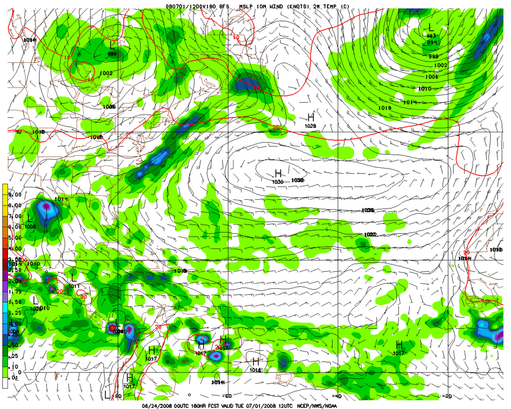
GFS continues to show possible weak development in the western Caribbean or BOC later on this weekend into early next, it builds a nice ridge in the western Caribbean.

0 likes

Re: Long Range Models
Frank2 wrote:That might be true, but, there are so many variables that one never knows what might happen over two or three months...
Many seasons start out looking ominous, but, end up being fairly quiet - 1980 was a good example - Hurricane Allen was a VERY ominous start, but, the remainder of the season was fairly quiet...
Well it weren't quiet to be honest, it still ended up having way above normal ACE values though granted the action stayed away from the states.
Anyway GFS still trying to develop a SW system as it always does it seems but whether or not anything happens is another matter, I dare say nothing is gonna happen though!
0 likes
-
Meso

- Category 5
- Posts: 1609
- Age: 39
- Joined: Mon Aug 09, 2004 12:14 pm
- Location: South Africa
- Contact:

A C.V storm is now starting to show on more than 1 run... while its way to far out to get worried about (312 hours before it becomes a closed low) it is something at least to watch and see how consistant the GFS will be with the area.. both that area and the very strong tropical wave which emerged off africa in 200 hours which it also actually forms a closed low with for a while before opening it up to a rather vigorous wave again
0 likes


-
Eyewall
Re: Long Range Models
It is possible we could see a storm form in the gulf remember our famous fourth of July storms. 
0 likes
-
Category 5
- Category 5
- Posts: 10074
- Age: 35
- Joined: Sun Feb 11, 2007 10:00 pm
- Location: New Brunswick, NJ
- Contact:
Re: Long Range Models
I'm not sure who this guy is but he explains some interesting points about these long range models.
http://www.youtube.com/watch?v=oHg5SJYRHA0
http://www.youtube.com/watch?v=oHg5SJYRHA0
0 likes
Re: Long Range Models
00z GFS for next Monday morning:

Trending a little faster and closer to the Mexican coast.
Trending a little faster and closer to the Mexican coast.
0 likes
-
srainhoutx

- S2K Supporter

- Posts: 6919
- Age: 68
- Joined: Sun Jan 14, 2007 11:34 am
- Location: Haywood County, NC
- Contact:


Re: Long Range Models
Oh man I hope the GFS verifies!!! It will be the best to happen all summer (so far).
0 likes
Re: Long Range Models
Category 5 wrote:I'm not sure who this guy is but he explains some interesting points about these long range models.
http://www.youtube.com/watch?v=oHg5SJYRHA0
Darn you...
0 likes
-
SouthFloridawx

- S2K Supporter
- Posts: 8346
- Age: 47
- Joined: Tue Jul 26, 2005 1:16 am
- Location: Sarasota, FL
- Contact:
Re: Long Range Models
Duddy wrote:Category 5 wrote:I'm not sure who this guy is but he explains some interesting points about these long range models.
http://www.youtube.com/watch?v=oHg5SJYRHA0
Darn you...
Only in a weather forum..
0 likes

Re: Long Range Models
So far the GFS remains the outlier in any BOC or NW Caribbean development by late weekend into early next week. If anything it has been trending further west in cyclogenesis to occur, closer to the Mexican coast, it will all depend on the orientation of the trough coming down the plains, I give it a better chance if the trough axis hangs around the western lower MS river valley instead of the east coast, otherwise it will move inland into MX before much development or it could occur on the pacific side.
0 likes
Re: Long Range Models
But, today's photo:
http://www.goes.noaa.gov/browsh.html
shows what only can be referred to as a:
Simply
Heavenly
Early (Season)
Atlantic
Rest (Period)
http://www.goes.noaa.gov/browsh.html
shows what only can be referred to as a:
Simply
Heavenly
Early (Season)
Atlantic
Rest (Period)
0 likes

Re: Long Range Models
Frank2 wrote:But, today's photo:
http://www.goes.noaa.gov/browsh.html
shows what only can be referred to as a:
Simply
Heavenly
Early (Season)
Atlantic
Rest (Period)
Frank2 that's pretty good the way shear spelled out.
0 likes