Well, I got my wake-up call on this, the first day of vacation I've tried to take in 6 months, at 4am. Had to get out the forecast tracks for the depression. NHC just couldn't wait until after my alarm went off, huh?

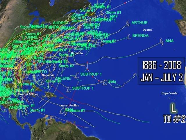
Anyway, TD Two looks well on its way to becoming Bertha this afternoon, if it's not already there. Forecast thinking hasn't changed. There's a significant weakness in the ridge to its north once it moves west of 30-35W ahead of that TUTT that extends down to the eastern Caribbean. So it should recurve well east of the Caribbean Sea. The big question is what happens beyond 5-7 days. Bertha could stall for a while, make a loop or two, and then take off to the north and northeast. Currently, the GFS indicates that the ridge will split, allowing the storm to pass well east of Bermuda - no threat to the U.S. I wouldn't completely rule out the storm being trapped by the high off the east U.S. Coast and driven westward, but I think it's a low probability at this point. I don't think that any storm that's formed so far to the east and so far north has ever impacted the Caribbean or the U.S. And with a TUTT in its path, this one won't likely reach the U.S. either.
I'll post a close up of the storm and a few steering level charts from the 00Z GFS:

Mean 700-400mb steering level streamlines valid next Monday:

Mean 700-400mb steering level streamlines valid next Thursday: