


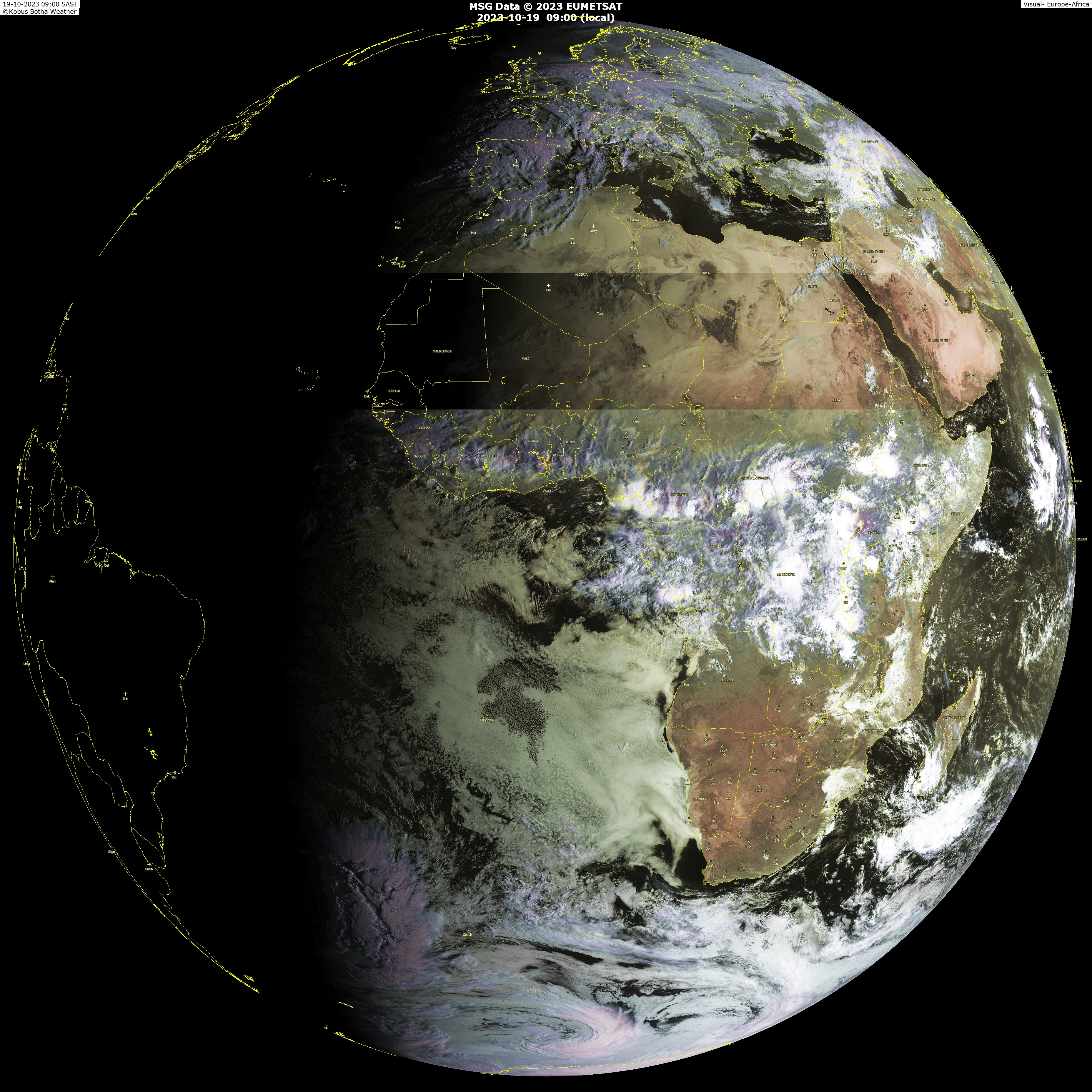
Click the symbol located in the upper left and see the image in giant form.Lets see what this system does as soon it hits the water,more south in latitud than where the wave that gave birth to Bertha and wave that was tagged as 97L.At least it has some model support from GFS.
Sierra Leone located at around 8n has NNW winds being reported.:
Code: Select all
Wind  from the NNW (330 degrees) at 7 MPH (6 KT)
Visibility  4 mile(s)
Sky conditions  mostly cloudy
Weather  Rain
Cumulonimbus clouds observed
Temperature  75 F (24 C)
Dew Point  75 F (24 C)
Relative Humidity  100%
Pressure (altimeter)  29.97 in. Hg (1015 hPa)
ob  GFLL 271200Z 33006KT 8000 RA BKN010 FEW027 24/24 Q1015 CB/NE/SE

--------------------------------------------------------------------------------
The Sal (Saharan Air Layer) will not be a factor when this system emerges West Africa.

GFS Model:
00z GFS at 84 Hours= http://www.nco.ncep.noaa.gov/pmb/nwprod ... n_084l.gif
06z GFS at 96 Hours= http://www.nco.ncep.noaa.gov/pmb/nwprod ... n_096l.gif
06z GFS at 120 Hours= http://www.nco.ncep.noaa.gov/pmb/nwprod ... n_120l.gif
06z GFS at 144 Hours= http://www.nco.ncep.noaa.gov/pmb/nwprod ... n_144l.gif
06z GFS at 168 Hours= http://www.nco.ncep.noaa.gov/pmb/nwprod ... n_168l.gif
After this 168 hour it becomes fantasyland so I will not post further.Lets see what happens with this wave/low as it moves west and if there is additional model support from GFS and other models later on.


