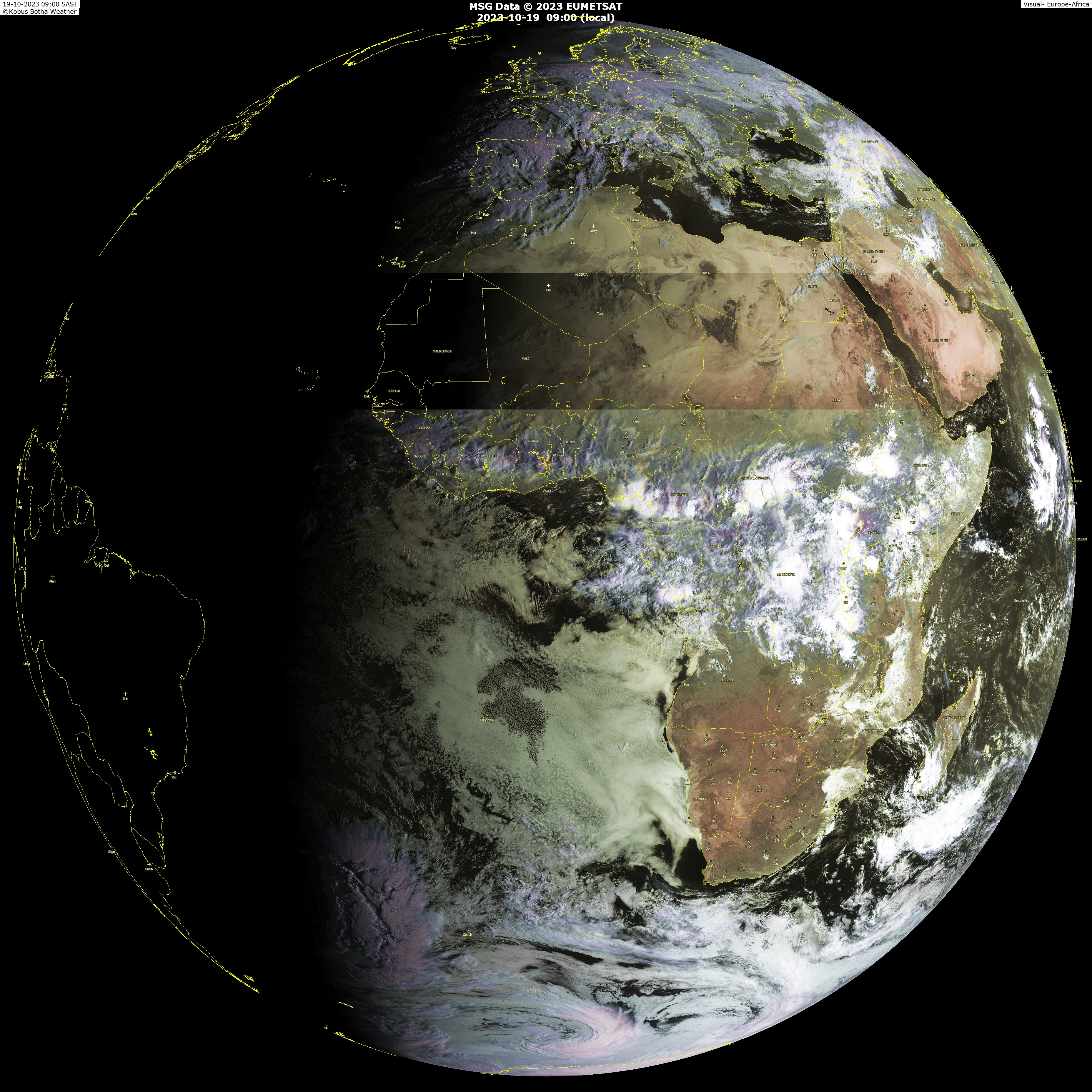
drezee 1236 UTC wrote:Based on the high-res visble loops, I would guess the area of low pressure is near 8.5N and 14.5W
Aric Dunn wrote:cycloneye wrote:Aric,you almost nailed the position of the low.Here is the first ssd plot:
28/1800 UTC 9.2N 15.4W TOO WEAK INV -- Atlantic Ocean
http://www.ssd.noaa.gov/PS/TROP/positions.html
yeah its pretty evident on visible sat loop i posted with it.. not so hard to extrap the center from the curved bands that are rotating around it.
Seems to be moving WNW. I placed it this morning WSW of the 1800z position.


