ATL: Tropical Depression Edouard
Moderator: S2k Moderators


-
wxman57

- Moderator-Pro Met

- Posts: 23172
- Age: 68
- Joined: Sat Jun 21, 2003 8:06 pm
- Location: Houston, TX (southwest)
Re: ATL: Invest 91L - Gulf of Mexico
Ed Mahmoud wrote:Wind shift off Dauphin Island - due to thunderstorm outflow, or an improving 91L?
¿ Quien Sabes ?
http://www.ndbc.noaa.gov/plot_met.php?s ... _label=CDT
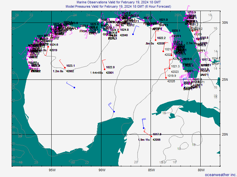
See my surface plot a few posts back. The weak surface trof axis just passed by 42040. Winds west of the trof axis are out of the west. East of the axis they're out of the south.
0 likes
-
Matt-hurricanewatcher
Re: ATL: Invest 91L - Gulf of Mexico
I agree with wxman57. There is no convection over the trough its self, so no development within the next 12-24 hours. You can post pictures of crows after each of my forecast for the rest of the month if the recon finds a depression. Because I sure as heck don't think this will be one today. Take that to the bank that this will not be a depression before 8pm est.
0 likes
-
cycloneye

- Admin

- Posts: 149283
- Age: 69
- Joined: Thu Oct 10, 2002 10:54 am
- Location: San Juan, Puerto Rico
Re: ATL: Invest 91L - Gulf of Mexico
03/1145 UTC 28.2N 86.4W T1.5/1.5 91L -- Atlantic Ocean
http://www.ssd.noaa.gov/PS/TROP/positions.html
http://www.ssd.noaa.gov/PS/TROP/positions.html
0 likes


-
cycloneye
- Admin
- Posts: 149283
- Age: 69
- Joined: Thu Oct 10, 2002 10:54 am
- Location: San Juan, Puerto Rico
Re: ATL: Invest 91L - Gulf of Mexico
The 12:00 UTC ATCF best track:
AL, 91, 2008080312, , BEST, 0, 284N, 870W, 25, 1010, DB, 34, NEQ, 0, 0, 0, 0, 1013, 150, 30, 0, 0, L, 0, , 0, 0, INVEST, M,
ftp://ftp.tpc.ncep.noaa.gov/atcf/tcweb/
AL, 91, 2008080312, , BEST, 0, 284N, 870W, 25, 1010, DB, 34, NEQ, 0, 0, 0, 0, 1013, 150, 30, 0, 0, L, 0, , 0, 0, INVEST, M,
ftp://ftp.tpc.ncep.noaa.gov/atcf/tcweb/
0 likes
-
wxman57
- Moderator-Pro Met
- Posts: 23172
- Age: 68
- Joined: Sat Jun 21, 2003 8:06 pm
- Location: Houston, TX (southwest)
Re: ATL: Invest 91L - Gulf of Mexico
cycloneye wrote: 03/1145 UTC 28.2N 86.4W T1.5/1.5 91L -- Atlantic Ocean
http://www.ssd.noaa.gov/PS/TROP/positions.html
There's nothing anywhere near that lat/lon. Pressures are lower 150nm to the west. Just straight south winds east of the trof axis there. I'd look farther west for any possible development. Those T numbers are pretty meaningless as there's no surface circulation.
0 likes

SUBJ/TROPICAL CYCLONE FORMATION ALERT 030530Z AUG 08//
WTNT01 KNGU 030600
UNCLAS //N03146//
MSGID/GENADMIN/NAVMARFCSTCEN NORFOLK VA//
RMKS/1. FORMATION OF A TROPICAL CYCLONE IS POSSIBLE WITHIN 100 NM
EITHER SIDE OF A LINE FROM 29.4N 87.0W TO 27.7N 89.6W DURING THE
NEXT 24 TO 36 HOURS. AVAILABLE DATA DOES NOT JUSTIFY ISSUANCE OF
A NUMBERED TROPICAL CYCLONE WARNING AT THIS TIME.
2. AN AREA OF LOW PRESSURE WITH A CENTRAL PRESSURE OF 1009MB IS
LOCATED SOUTH OF PENSACOLA, FLORIDA. LITTLE MOTION IS
ANTICIPATED DURING THE NEXT 36 HOURS. BUOY OBSERVATIONS IN THE
REGION SHOW 15 TO 20 KT SURFACE WINDS WITH SURFACE PRESSURES
SLOWLY FALLING. CONDITIONS APPEAR TO BE FAVORABLE FOR
DEVELOPMENT AS THIS SYSTEM WILL REMAIN OVER VERY WARM SEA
SURFACE TEMPERATURES (84F - 86F) AND UPPER ATMOSPHERIC
CONDITIONS ARE BECOMING MORE CONDUCIVE FOR TROPICAL CYCLONE
DEVELOPMENT.
3. THIS ALERT WILL BE REISSUED, ALLOWED TO EXPIRE, OR CANCELLED
BY 040600Z AUG 08.//
http://www.nlmoc.navy.mil/cgi-bin/viewt ... cal/wtnt01
0 likes
-
hwego7
Re: ATL: Invest 91L - Gulf of Mexico
Category 5 wrote:TCHP is not on its side.
Yes it is...right now we don't even have a tropical depression. Dolly underwent rapid intensification to major hurricane status over less TCHP. Felix strengthened into a category 5 hurricane over TCHP of less than 20. There is a bad misconception out there about TCHP and I'm not sure where it came from, but it's not true.

The pic above is what Felix crossed over as it strengthened into a category 5 hurricane prior to landfall. TCHP is very favorable in the GOM and will support a catastrophic hurricane.
0 likes
-
hwego7
Re: ATL: Invest 91L - Gulf of Mexico
None of the computer models are forecasting this to reach land sooner than 48 hours and the GFDL is at 54 hours. It is moving at 3kts at the moment and even drifting to the west or west-southwest. What do you see that will cause this to speed up drastically enough to make landfall in 36 hours?wxman57 wrote:I think it has a good chance of spinning up a weak surface low before it moves inland into the upper TX coast or SW Louisiana in about 36 hours
Last edited by hwego7 on Sun Aug 03, 2008 8:21 am, edited 1 time in total.
0 likes
-
wxman57
- Moderator-Pro Met
- Posts: 23172
- Age: 68
- Joined: Sat Jun 21, 2003 8:06 pm
- Location: Houston, TX (southwest)
Re: ATL: Invest 91L - Gulf of Mexico
hwego7 wrote:None of the computer models is forecasting this to reach land sooner than 48 hours and the GFDL is at 54 hours. It is moving at less than 10mph at the moment and even drifting to the west or west-southwest. What do you see that will cause this to speed up drastically enough to make landfall in 36 hours?wxman57 wrote:I think it has a good chance of spinning up a weak surface low before it moves inland into the upper TX coast or SW Louisiana in about 36 hours
Yeah, it'll probably be Tuesday morning before it moves inland. New runs are slower.
0 likes
-
dixiebreeze
- S2K Supporter

- Posts: 5140
- Joined: Wed Sep 03, 2003 5:07 pm
- Location: crystal river, fla.
-
lonelymike
- S2K Supporter
- Posts: 634
- Joined: Sat Jul 26, 2008 10:12 am
- Location: walton county fla
Yep this should have a good 48hrs over waters, its enough time to develop a core and then strengthen into a decent TS still IMO esp if it does develop quickly. Also the TCFA does suggest a SW motion at a fairly slow rate.
Looks like the estimate of 27W is close but of course without a decent LLC its hard to say exactly where about it is.
Looks like the estimate of 27W is close but of course without a decent LLC its hard to say exactly where about it is.
0 likes
-
wxman57
- Moderator-Pro Met
- Posts: 23172
- Age: 68
- Joined: Sat Jun 21, 2003 8:06 pm
- Location: Houston, TX (southwest)
Re:
lonelymike wrote:Wonder if this little system will spike oil prices. Won't this move thru an area of gulf oil and gas rigs?
That won't matter. Oil companies aren't going to be evacuating the rigs. It'll just be an inconvenience for the guys working offshore.
0 likes

Re: ATL: Invest 91L - Gulf of Mexico
28N 87W is were I suspect a broad LLC is trying to form just by looking at am vis loop.
http://www.ssd.noaa.gov/goes/flt/t2/loop-vis.html
http://www.ssd.noaa.gov/goes/flt/t2/loop-vis.html
0 likes
Who is online
Users browsing this forum: No registered users and 6 guests