hiflyer wrote:New Orleans radar skimming the north side of it on long range
http://radar.weather.gov/radar.php?rid= ... 1&loop=yes
Actually that mostly green return would be about the center, due south of Mobile.
Moderator: S2k Moderators

hiflyer wrote:New Orleans radar skimming the north side of it on long range
http://radar.weather.gov/radar.php?rid= ... 1&loop=yes
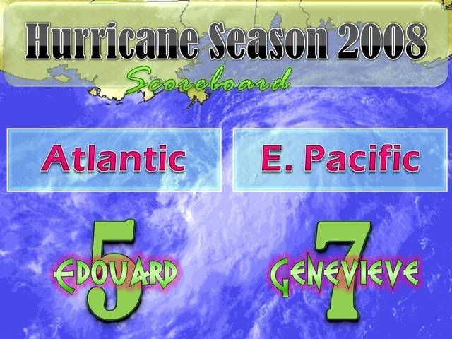
masaji79 wrote:Atlantic is on Edouard, Pacific has alread had Genevieve.


jinftl wrote:Will relative proximity to land as it parallels the coast...less than 100 miles from the LA coast (95 miles SE of Mouth of Mississippi)...hinder development?
Areas of Louisiana fall below 30 deg latitude...f the storm starts moving more WNW it could come even closer to the coast it is forecast to parallel.
KWT wrote:jinftl, its something I've thought about and it may limit the structure of this system somewhat and may keep it somewhat lop sided but I think it probably won't do much in the way of stopping it strengthening at least for a little while anyway


stevetampa33614 wrote:masaji79 wrote:Atlantic is on Edouard, Pacific has alread had Genevieve.
Ya short lived. totally forgot about them.
Anyway. Sat presentation looks to be improving. Were also getting some nasty storms in tampa and I have no idea if this related.
MiamiensisWx wrote:KWT wrote:jinftl, its something I've thought about and it may limit the structure of this system somewhat and may keep it somewhat lop sided but I think it probably won't do much in the way of stopping it strengthening at least for a little while anyway
KWT, it will not have any effects...
Derek Ortt wrote:thats not where recon fixed the center on its last pass... recon fixed the center (and at a very low level) inside of the deep convection

Derek Ortt wrote:thats not where recon fixed the center on its last pass... recon fixed the center (and at a very low level) inside of the deep convection
Users browsing this forum: No registered users and 51 guests