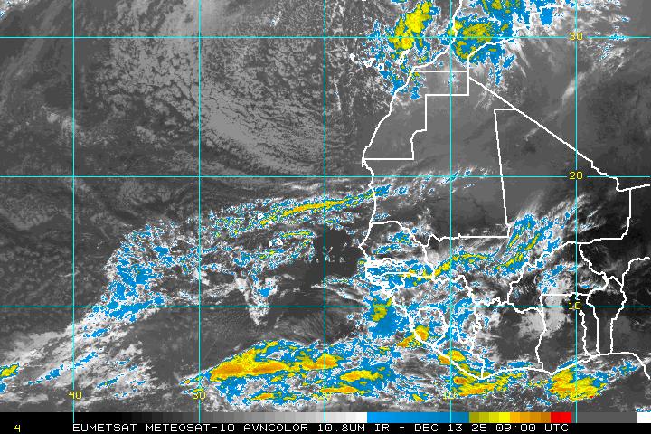
...this would be "the area northeast of the uninvested ITCZ thing to the east of 94L".
http://www.ssd.noaa.gov/goes/east/catl/loop-ir2.html
It appears to me that the broad swath of equatorial westerlies are going to wrap up around into it from the southeast. The teeny tiny cell it puffed off had a cold top in spite of 26c water. Unlike the other two, there doesn't appear to be any shear ahead.
Wave axis near 17N/33W @ 6pmAST 21st
Moderator: S2k Moderators
Forum rules
The posts in this forum are NOT official forecasts and should not be used as such. They are just the opinion of the poster and may or may not be backed by sound meteorological data. They are NOT endorsed by any professional institution or STORM2K. For official information, please refer to products from the National Hurricane Center and National Weather Service.
-
Clipper96
Wave axis near 17N/33W @ 6pmAST 21st
Last edited by Clipper96 on Thu Aug 21, 2008 6:05 pm, edited 1 time in total.
0 likes
Re: Wave axis near 17N/33W @ 6pmAST 21st
Saw that too. This little persisting convection spot could be something developing.
0 likes
Re: Wave axis near 17N/33W @ 6pmAST 21st
Still not enough to track? Another one just rolled off the coast...that's 4 areas of interest (94l not in this pic)


0 likes
-
Clipper96
Who is online
Users browsing this forum: Ntxw and 80 guests


