A deep convection area...

This is the general tropical discussion area. Anyone can take their shot at predicting a storms path.

Moderator: S2k Moderators

Forum rules

The posts in this forum are NOT official forecasts and should not be used as such. They are just the opinion of the poster and may or may not be backed by sound meteorological data. They are NOT endorsed by any professional institution or STORM2K. For official information, please refer to products from the National Hurricane Center and National Weather Service.

Help Support Storm2K
Message
Author
User avatar
The_Cycloman_PR
Category 1
Category 1
Posts: 316
Joined: Mon Oct 28, 2002 12:10 pm
Location: Puerto Rico

A deep convection area...

#1 Postby The_Cycloman_PR » Wed Jul 16, 2003 12:17 am

developed around the wave over 25-30W. Since last week the tropical waves emerging from Africa have mantainded their convection longer and longer over sea. Could this be an indicative of the begining for a gradual improve of the conditions for tropical development over the CV area?

http://www.intellicast.com/LocalWeather ... nticHIRES/

Coments :?:
0 likes   

User avatar
The_Cycloman_PR
Category 1
Category 1
Posts: 316
Joined: Mon Oct 28, 2002 12:10 pm
Location: Puerto Rico

#2 Postby The_Cycloman_PR » Wed Jul 16, 2003 1:54 am

Latest pic show even deeper convection and better organization, the wave south of CV look's very impresive at this moment. Although the system at the northeast of the islands is the one we are watching right now for posible development, I really think the wave over CV area deserve close observation too.

http://www.ssd.noaa.gov/PS/TROP/DATA/RT/EATL/IR4/20.jpg

http://www.intellicast.com/LocalWeather/World/Satellite/AtlanticHIRES/
0 likes   

ColdFront77

#3 Postby ColdFront77 » Wed Jul 16, 2003 2:04 am

Sure does, PR, it has at least an appearance of something worth watching, especially down the road.
0 likes   

User avatar
cycloneye
Admin
Admin
Posts: 145321
Age: 68
Joined: Thu Oct 10, 2002 10:54 am
Location: San Juan, Puerto Rico

#4 Postby cycloneye » Wed Jul 16, 2003 5:48 am

Well Cycloman PR you posted overnight about that convection area south of the cape verde islands.But this morning it continues to have deep convection and as you said conditions may be improving slowly out there and we will have to begin to look more at the cape verde region for possible developments in comming weeks.But in respect about this system in particular it has persisted for more than 24 hours and so let's see in the next 24 hours what it will do.
0 likes   
Visit the Caribbean-Central America Weather Thread where you can find at first post web cams,radars
and observations from Caribbean basin members Click Here

Guest

#5 Postby Guest » Wed Jul 16, 2003 7:51 am

Looks good on satellite - thanks for the links PRMan. Could this be Erika in the making? Something to keep an eye on as it approaches the islands several days down the road.

I think we all need a rest from Claudette.

Patricia
0 likes   

User avatar
GulfBreezer
Category 5
Category 5
Posts: 2230
Joined: Wed Oct 09, 2002 8:58 pm
Location: Gulf Breeze Fl
Contact:

#6 Postby GulfBreezer » Wed Jul 16, 2003 8:11 am

I second that Ticka!! This season is definitely going to be one to remember! :D
0 likes   

User avatar
The_Cycloman_PR
Category 1
Category 1
Posts: 316
Joined: Mon Oct 28, 2002 12:10 pm
Location: Puerto Rico

#7 Postby The_Cycloman_PR » Wed Jul 16, 2003 9:17 am

Feel very sad for the loses brought by Cloudette overthere, including lives.
0 likes   

User avatar
Colin
Category 5
Category 5
Posts: 5086
Joined: Fri Apr 18, 2003 4:17 pm
Location: Catasauqua, PA
Contact:

#8 Postby Colin » Wed Jul 16, 2003 9:28 am

That wave does look very impressive...now we're going to have to watch what THIS one does! :o Jeez...what a season, and it's only July...not even the worst part yet! :o
0 likes   

User avatar
The_Cycloman_PR
Category 1
Category 1
Posts: 316
Joined: Mon Oct 28, 2002 12:10 pm
Location: Puerto Rico

#9 Postby The_Cycloman_PR » Wed Jul 16, 2003 9:35 am

Yeah! I wonder how the peak of the season will be!! :30:
0 likes   

User avatar
mf_dolphin
Category 5
Category 5
Posts: 17758
Age: 68
Joined: Tue Oct 08, 2002 2:05 pm
Location: St Petersburg, FL
Contact:

#10 Postby mf_dolphin » Wed Jul 16, 2003 12:00 pm

This is the first real wave that has managed to keep it's convection really going once it left the coast of Africa. I guess it's time to start looking out east and see what conditions are like in the Central Atlantic! :-) Buckle up folks! We could be in for a wild ride this year! :-)
0 likes   

User avatar
Toni - 574
Category 1
Category 1
Posts: 493
Joined: Wed May 28, 2003 9:20 pm
Location: W. Central Florida

#11 Postby Toni - 574 » Wed Jul 16, 2003 12:13 pm

If you believe in the GFS at all, we may be seeing a looong wave train from the CV to the W. Caribbean before long. Can't imagine all of them not forming. Should be interesting again soon.
0 likes   

Guest

#12 Postby Guest » Wed Jul 16, 2003 12:15 pm

Here is another link:

http://www.ssd.noaa.gov/PS/TROP/DATA/RT ... -loop.html

Any of the models picking on this one yet?
0 likes   

User avatar
wx247
S2K Supporter
S2K Supporter
Posts: 14279
Age: 41
Joined: Wed Feb 05, 2003 10:35 pm
Location: Monett, Missouri
Contact:

#13 Postby wx247 » Wed Jul 16, 2003 12:18 pm

Any inhibiting factors for this wave??
0 likes   
Personal Forecast Disclaimer:
The posts in this forum are NOT official forecast and should not be used as such. They are just the opinion of the poster and may or may not be backed by sound meteorological data. They are NOT endorsed by any professional institution or storm2k.org. For official information, please refer to the NHC and NWS products.

User avatar
mf_dolphin
Category 5
Category 5
Posts: 17758
Age: 68
Joined: Tue Oct 08, 2002 2:05 pm
Location: St Petersburg, FL
Contact:

#14 Postby mf_dolphin » Wed Jul 16, 2003 5:37 pm

http://cimss.ssec.wisc.edu/tropic/real- ... cjava.html

It looks like we may have TD6 anytime now...The IR signature looks good.
0 likes   

User avatar
wow
Tropical Storm
Tropical Storm
Posts: 237
Joined: Thu Jul 10, 2003 6:59 pm
Location: Raleigh, NC

#15 Postby wow » Wed Jul 16, 2003 6:19 pm

Toni - 574 wrote:If you believe in the GFS at all, we may be seeing a looong wave train from the CV to the W. Caribbean before long. Can't imagine all of them not forming. Should be interesting again soon.

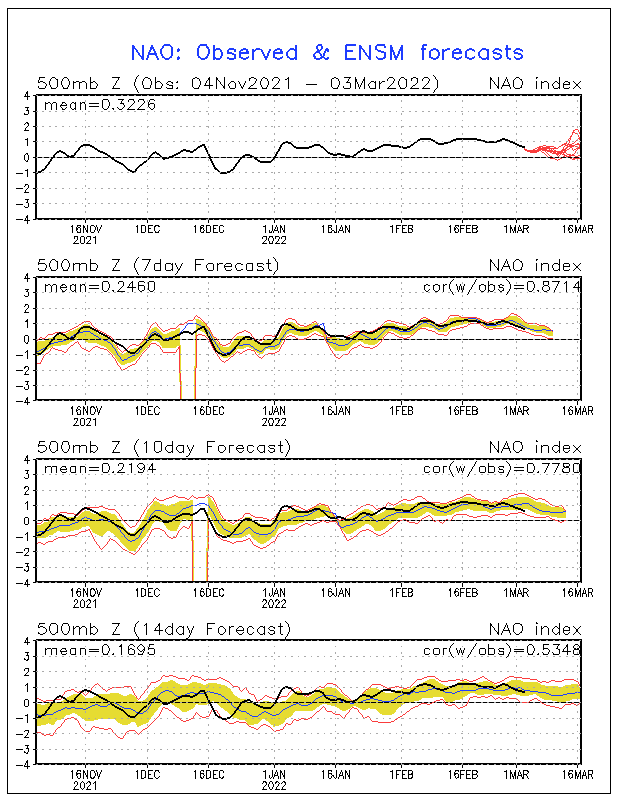
And with the NAO diving negative in the next few days, tropical development is favorable. If both Danny and Erika form before this week is over, i wouldn't be the least bit surprised to see a Fabian or Grace before this month is over.
Image
0 likes   


Return to “Talkin' Tropics”

Who is online

Users browsing this forum: Bobd33, dl20415, gatorcane, Google Adsense [Bot], Hurricane2022, Ian2401, TomballEd and 54 guests