11pm discussion discussed how gustav's outflow was keeping the ULL low from weakening and moving SW to much and that the relatively new northerly shear over gustav should decrease this inflow and allow ULL to weaken and move sw like previously forecast. WE SHALL SEE by 230 am when the satellite eclipse is over how things look.
interesting tidbits in the 11pm discussion if you have not read the whole thing
http://www.nhc.noaa.gov/text/refresh/MI ... 0259.shtml
ATL HANNA: Extratropical - Discussion
Moderator: S2k Moderators
-
eastcoastFL

- Category 5

- Posts: 3996
- Age: 44
- Joined: Thu Apr 12, 2007 12:29 pm
- Location: Palm City, FL

-
Scorpion
-
Matt-hurricanewatcher
Re:
Vortex wrote:00z hwrf takes hanna down to 887mb and 160 mph..stalls then heads ne...most all the guidance now is developing a very strong and large hurricane.
There is only a few area's with in the Atlantic that can do that 1# western Caribbean where Gustav is entering 2# Southeast of Florida around 20-25 north 78-84 west 3# Loop current of the gulf of Mexico. Now it could come into the edge of 2#, but that would need a perfect set up...Much more likely Gustav gets that strong over the much more powerful TCHP of the western Caribbean.
0 likes
Re: Re:
Matt-hurricanewatcher wrote:Vortex wrote:00z hwrf takes hanna down to 887mb and 160 mph..stalls then heads ne...most all the guidance now is developing a very strong and large hurricane.
There is only a few area's with in the Atlantic that can do that 1# western Caribbean where Gustav is entering 2# Southeast of Florida around 20-25 north 78-84 west 3# Loop current of the gulf of Mexico. Now it could come into the edge of 2#, but that would need a perfect set up...Much more likely Gustav gets that strong over the much more powerful TCHP of the western Caribbean.
agree but the point im taking from the overnight runs is that hanna looks more and more like she will have a a good shot at becoming a major hurricane.
0 likes
-
Scorpion
00Z Euro and yet another run and another hit for southern florida..This is becoming more than a trend at this point. Very consistent the last several runs with very small deviations between days 3-6.
http://www.ecmwf.int/products/forecasts ... 00!!!step/
http://www.ecmwf.int/products/forecasts ... 00!!!step/
0 likes
-
Matt-hurricanewatcher
Re: ATL: Tropical Storm Hanna in Western Atlantic
If Gustav becomes a cat4 or cat5 hurricane its outflow jet(Anticyclone) will spread shear over this. I've seen it happen many of times, any systems within 1,000 miles to the east or northeast normally feel the down stream shear. So this might have to wait for Gustav to weaken. Something to think about.
0 likes
-
wxmann_91

- Category 5
- Posts: 8007
- Age: 34
- Joined: Fri Jul 15, 2005 2:49 pm
- Location: Southern California
- Contact:
I think the bigger problem Hanna will have is that the midlatitude low to the north will drag down a large continental high. This occurs at the same time the models ramp up shear, and of course let's not forget upwelling problems. So as for right now I think it might strengthen decently up to around 96 hr and then weaken back down quite rapidly. After that... too early to tell.
0 likes


Re: ATL: Tropical Storm Hanna in Western Atlantic
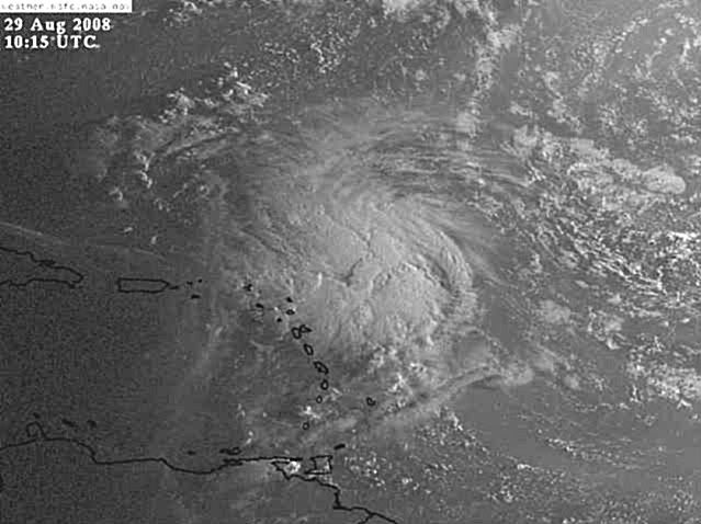
I think I see the LLC on IR2 coming out west of the convection near 21N 62W. Anyone else see it:
http://www.ssd.noaa.gov/goes/flt/t2/loop-ir2.html
http://www.ssd.noaa.gov/goes/flt/t2/loop-ir2.html
0 likes
-
jlauderdal
- S2K Supporter

- Posts: 7240
- Joined: Wed May 19, 2004 5:46 am
- Location: NE Fort Lauderdale
- Contact:
Re:
Vortex wrote:00Z Euro and yet another run and another hit for southern florida..This is becoming more than a trend at this point. Very consistent the last several runs with very small deviations between days 3-6.
http://www.ecmwf.int/products/forecasts ... 00!!!step/
oh vortex, you just want to get the south florida hype machine rolling
0 likes
-
Squarethecircle
- Category 5
- Posts: 2165
- Joined: Fri Oct 19, 2007 4:00 pm
- Location: Fairfax, VA
Re:
Vortex wrote:00z hwrf takes hanna down to 887mb and 160 mph..stalls then heads ne...most all the guidance now is developing a very strong and large hurricane.
Though you must remember that the HWRF has a very, very nasty habit of seriously overestimating pressure-intensities. Many runs have such oddities as sub-940 2s, and sub-920 3s.
0 likes
-
captain east

- Tropical Storm

- Posts: 213
- Joined: Thu Aug 28, 2008 2:53 pm
- Location: South East Florida
Re: ATL: Tropical Storm Hanna in Western Atlantic
Does South East Florida have a good chance of being hit?
0 likes
-
jlauderdal
- S2K Supporter
- Posts: 7240
- Joined: Wed May 19, 2004 5:46 am
- Location: NE Fort Lauderdale
- Contact:
Re:
KWT wrote:The wind pressure from the HWRF isn't really wise to use, its the winds to watch.
Anyway vis imagery coming through now, will be interesting to see if the center is getting exposed or not.
isnt there some correlation between central pressure and winds?
0 likes


Re: ATL: Tropical Storm Hanna in Western Atlantic
The bit that concerns me is NHc is starting to acknowledge that the models are taking the SW turn but are hesitant to show it in the 5 day cone; If the model runs through the weekend keep with that, I don't think they will have much of a choice in the matter 
0 likes
Who is online
Users browsing this forum: No registered users and 69 guests