ATL: IKE Discussion

Moderator: S2k Moderators

Message
Author
User avatar
KWT
Category 5
Category 5
Posts: 31415
Joined: Tue Aug 17, 2004 11:02 am
Location: UK!!!

Re: Re:

#8861 Postby KWT » Thu Sep 11, 2008 8:57 am

Hurricanewatcher2007 wrote:
The outer wind maxima is from the the outer eye-wall which should still be contracting. there are still concentric eye-walls based on the last VDM from a couple hours ago. so the EWRC hasn't finished yet. By the time the EWRC is finished there shouldn't be a double wind maxima any more.


If it does manage to finally achieve one eyewall then its very bad news indeed, the wind field may contract a little but the winds near the center will sky rocket, pressure of 945mbs is more typical of a cat-3/4.

Remember this still has nearly 48hrs over water, thats plenty of time for the inner core to sort itself out.
Last edited by KWT on Thu Sep 11, 2008 8:58 am, edited 1 time in total.
0 likes   

USTropics
Professional-Met
Professional-Met
Posts: 2659
Joined: Sun Aug 12, 2007 3:45 am
Location: Florida State University

Re: Re:

#8862 Postby USTropics » Thu Sep 11, 2008 8:57 am

Aristotle wrote:
KWT wrote:
Nederlander wrote:
listen to the promets... Derek stated that this could instensify to cat 4 rather quickly once the core gets it act together


Yeah but not with one outer eyewall replacing the other as soon as the other contracts, I've got a sneaky feeling that Ike isn't actually going to change its presentation all that much, given how hard it was to rid the last inner eyewall this one may take just as long and thats assuming another outer eyewall doesn't decide to form, which given the multiple wind Maxia is quite possible!


KWT,
Is there any way to provide a graphic that shows the 2 eye walls? I'd like to know what everone is seeing!

Thanks


You can also see it on the similar TMI pass:

Image
0 likes   

User avatar
Aristotle
Tropical Storm
Tropical Storm
Posts: 141
Age: 59
Joined: Wed Aug 27, 2008 8:16 pm
Location: Crowley, TX

Re: Re:

#8863 Postby Aristotle » Thu Sep 11, 2008 8:58 am

listen to the promets... Derek stated that this could instensify to cat 4 rather quickly once the core gets it act together[/quote]

Yeah but not with one outer eyewall replacing the other as soon as the other contracts, I've got a sneaky feeling that Ike isn't actually going to change its presentation all that much, given how hard it was to rid the last inner eyewall this one may take just as long and thats assuming another outer eyewall doesn't decide to form, which given the multiple wind Maxia is quite possible![/quote]

KWT,
Is there any way to provide a graphic that shows the 2 eye walls? I'd like to know what everone is seeing!

Thanks[/quote]

discribe them to me. the colors Where one ends and the other begins?


this is the latest microwave pass we have. It didn't catch the full circulation but you can still see the double eye-walls

Image[/quote]
0 likes   

User avatar
Aristotle
Tropical Storm
Tropical Storm
Posts: 141
Age: 59
Joined: Wed Aug 27, 2008 8:16 pm
Location: Crowley, TX

Re: ATL IKE: Category 2 - Discussion

#8864 Postby Aristotle » Thu Sep 11, 2008 8:59 am

Sorry,

Hey KWT or Dereck or anyone. Are the 2 eyewalls the green or is it the blue outside the green?
0 likes   

Dean4Storms
S2K Supporter
S2K Supporter
Posts: 6358
Age: 62
Joined: Sun Aug 31, 2003 1:01 pm
Location: Miramar Bch. FL

Re: ATL IKE: Category 2 - Discussion

#8865 Postby Dean4Storms » Thu Sep 11, 2008 8:59 am

attallaman wrote:What kind of weather, if any, can I expect to receive from Ike as he passes south of my location headed for Texas? Any feeder band activity? Squalls? Rain? Or just winds below tropical storm status? It's sunny here in Biloxi this morning and breezy.


You are under a TS Watch so I would expect possible TS winds, rain squalls and a possible tornado. I would suggest reading your NWS Forecast!
0 likes   

User avatar
baitism
Category 1
Category 1
Posts: 266
Joined: Wed Jul 06, 2005 3:00 pm
Location: Overland Park, KS

Re: ATL IKE: Category 2 - Discussion

#8866 Postby baitism » Thu Sep 11, 2008 9:00 am

Aristotle wrote:Sorry,

Hey KWT or Dereck or anyone. Are the 2 eyewalls the green or is it the blue outside the green?


They are the green ones
0 likes   

User avatar
KWT
Category 5
Category 5
Posts: 31415
Joined: Tue Aug 17, 2004 11:02 am
Location: UK!!!

#8867 Postby KWT » Thu Sep 11, 2008 9:00 am

The other thing to note is recon is showing the outer eyewall is stornger then the new inner eyewall, if this can also go away like the orginal inner eyewall did then the outer eyewall looks pretty strong and could well beocme dominant.
0 likes   

Storm Contractor
Tropical Low
Tropical Low
Posts: 45
Joined: Fri Aug 15, 2008 7:48 pm

Re:

#8868 Postby Storm Contractor » Thu Sep 11, 2008 9:01 am

Windy wrote:I think it's interesting that people get so focused on the category numbers. A small CAT 4 storm is a very big deal for whereever it landfalls. A Cat 2 storm with Cat 2 winds 110 miles away from center and TS winds nearly a few hundred miles away is HUGE storm that spanks an ENORMOUS swath of land with wind and surge, and for a much longer time. What makes a storm a Cat 2 or a Cat 4 is only the maximum sustained winds, which usually only extend out a small distance from the center or circulation. In this storm, the max winds extend waaaaaaaay beyond what I think most people are used to. It is quite possible you could be sitting on the TX/LA border very late Friday night and getting sustained CAT 2 winds and surge... until nearly mid Saturday! I actually HOPE this tightens up into a Cat 3/4 and brings the wind field in a bit, or a lot of people are going to be surprised and in serious trouble at landfall.

This is obviously not a forecast; don't rely on me, rely on trained weather professionals, yadda yadda yadda.


It always makes me laugh when people say "it is only a cat 1" ! The reason for the laugh is that people ASSUME that 75 mph sustained winds do little damage! What they do not realize is that the "cat 1" part is right around the center and the extended wind area is only Tropical storm force winds. This storm has a very large 80 to 90 mph windfield. It will do a great deal of damage to roofs and structures! I can tell you if this landfalls in a worst case position for Galv/ Hou it will go down as one of the top 5 most expensive hurricane do to the overall area and population effected.
0 likes   

Disturbed
Tropical Wave
Tropical Wave
Posts: 3
Age: 56
Joined: Fri Aug 29, 2008 3:53 pm
Location: Hardin County, Texas

Re: ATL IKE: Category 2 - Discussion

#8869 Postby Disturbed » Thu Sep 11, 2008 9:01 am

What are the chances of this storm taking a turn more north towards the TX/LA border?
0 likes   

User avatar
HURAKAN
Professional-Met
Professional-Met
Posts: 46086
Age: 38
Joined: Thu May 20, 2004 4:34 pm
Location: Key West, FL
Contact:

#8870 Postby HURAKAN » Thu Sep 11, 2008 9:01 am

Image

The monster inside of Ike.
0 likes   

tallywx
Category 2
Category 2
Posts: 790
Joined: Thu Jul 03, 2003 10:19 am
Location: Raleigh/Durham, NC

#8871 Postby tallywx » Thu Sep 11, 2008 9:02 am

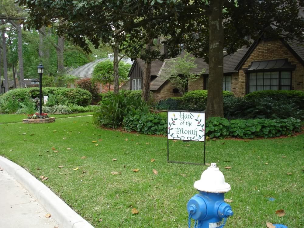
One other thing vis-a-vis Houston and hurricane force winds - Houston is a heavily forested metropolitan area that hasn't seen a lot of strong winds blow through there. Unlike Miami (sparsely forested), New Orleans (marshy coastal plain), and some of the other cities that have seen hurricanes recently, here you're going to have a hurricane barreling through and bringing down a lot of trees onto homes. I remember what Fran did to Raleigh in 1996, or Hugo did to Charlotte in 1989 - wind GUSTS were into the high cat 1 range, and you had some people without electricity for a month, and homes destroyed on every street because trees fell into them.

You might think cat 2 winds are not enough to bring down structures, but trees most certainly are.

Typical Houston subdivision:

Image
Last edited by tallywx on Thu Sep 11, 2008 9:04 am, edited 1 time in total.
0 likes   

HurricaneRobert
Category 3
Category 3
Posts: 812
Joined: Fri May 18, 2007 9:31 pm

Re:

#8872 Postby HurricaneRobert » Thu Sep 11, 2008 9:02 am

KWT wrote:The other thing to note is recon is showing the outer eyewall is stornger then the new inner eyewall, if this can also go away like the orginal inner eyewall did then the outer eyewall looks pretty strong and could well beocme dominant.


Are you sure? From that microwave pass the outer eyewall looks a bit thin in the northwest side.
0 likes   

Dean4Storms
S2K Supporter
S2K Supporter
Posts: 6358
Age: 62
Joined: Sun Aug 31, 2003 1:01 pm
Location: Miramar Bch. FL

Re:

#8873 Postby Dean4Storms » Thu Sep 11, 2008 9:03 am

yzerfan wrote:Coastal flooding in the FL Panhandle. US 98 between Ft. Walton Beach and Destin went underwater just in time for morning rush hour.


Great, I've got to be in FWB at 10:00am
0 likes   

User avatar
KWT
Category 5
Category 5
Posts: 31415
Joined: Tue Aug 17, 2004 11:02 am
Location: UK!!!

#8874 Postby KWT » Thu Sep 11, 2008 9:04 am

Storm Contractor, totally agree, people always underestimate wind speeds, being in the UK we sometimes get these big windstorms that can give cat-1 type gusts, I remember one storm a gust of 85mph and that was quite an amazing sight to see the trees bend over like they did, not to mention tiles from the roof falling on the floor.

Ike will likely be producing winds close to that for a good 6-9hr period looking at the current wind field and the structure of Ike, as you say its going to cause huge damage as its a huge hurricane.
0 likes   

User avatar
Hurricanewatcher2007
Category 2
Category 2
Posts: 578
Joined: Sat Jul 05, 2008 8:10 pm

Re: ATL IKE: Category 2 - Discussion

#8875 Postby Hurricanewatcher2007 » Thu Sep 11, 2008 9:05 am

Hope this helps.

Image
0 likes   

Frank2
Category 5
Category 5
Posts: 4061
Joined: Mon Jul 25, 2005 12:47 pm

#8876 Postby Frank2 » Thu Sep 11, 2008 9:05 am

Derek,

Yipes - looks like I stepped into a boxing match (and I didn't even swallow any raw eggs for breakfast)!

My opinion (just my opinion) is because the system became lopsided late last evening, with most of the convection on the east side - there is still dry air seen to the west of the circulation, so, it seems reasonable to say that, per the TCD that says Ike is not your typical hurricane, that there's a fair chance that it'll hold steady-state until landfall...

I hope so...

Frank
0 likes   

Dean4Storms
S2K Supporter
S2K Supporter
Posts: 6358
Age: 62
Joined: Sun Aug 31, 2003 1:01 pm
Location: Miramar Bch. FL

Re: ATL IKE: Category 2 - Discussion

#8877 Postby Dean4Storms » Thu Sep 11, 2008 9:05 am

Disturbed wrote:What are the chances of this storm taking a turn more north towards the TX/LA border?


Check the Forecast Cone from the NHC!

http://www.nhc.noaa.gov/refresh/graphic ... y#contents
0 likes   

User avatar
PTrackerLA
Category 5
Category 5
Posts: 5277
Age: 41
Joined: Thu Oct 10, 2002 8:40 pm
Location: Lafayette, LA

Re: ATL IKE: Category 2 - Discussion

#8878 Postby PTrackerLA » Thu Sep 11, 2008 9:05 am

The friends I know in the Houston area are just now realizing that Ike will probably bring them hurricane conditions. I tried to warn yesterday but they were convinced of a Corpus impact by listening to local news, etc. I think we've been watching Ike harder in Louisiana than some people in Houston have. I just hope everyone leaves that needs to and those who stay know how to ride a storm out safely. Many many residents there are in for a RUDE awakening. Prayers go out to all in SE Texas and coastal SW LA.
0 likes   

User avatar
KWT
Category 5
Category 5
Posts: 31415
Joined: Tue Aug 17, 2004 11:02 am
Location: UK!!!

Re: Re:

#8879 Postby KWT » Thu Sep 11, 2008 9:06 am

HurricaneRobert wrote:
Are you sure? From that microwave pass the outer eyewall looks a bit thin in the northwest side.


Yep a recon pass showed peak winds about 20kts higher in the outer eyewall then the inner eyewall, its a bit thin because its only just recently formed, this would probably become a the main eyewall in the enxt 12-18hrs, which then gives the system the best part of 24hrs to strengthen...and thats a very bad situation.
0 likes   

User avatar
Bluefrog
Category 1
Category 1
Posts: 295
Joined: Fri Jul 11, 2003 8:26 pm
Location: Pascagoula, Mississippi

Re: ATL IKE: Category 2 - Discussion

#8880 Postby Bluefrog » Thu Sep 11, 2008 9:06 am

PTPatrick is correct. Many parts of HWY 90 along the Mississippi Gulf Coast are closed due to the storm surge from Ike.

We are also under a tropical storm warning.
0 likes   


Return to “2008”

Who is online

Users browsing this forum: No registered users and 3 guests