Weatherfreak000 wrote:wxman57 wrote:Weatherfreak000 wrote:This storm is a Tropical Depression...Recon has been confirming winds...and even on the slim chance they don't find the LLC evidence...we're talking about only a matter of time before this does.
Let's just start advisories already i'd say...not like they dont do that sort of thing anyway ask the GOM
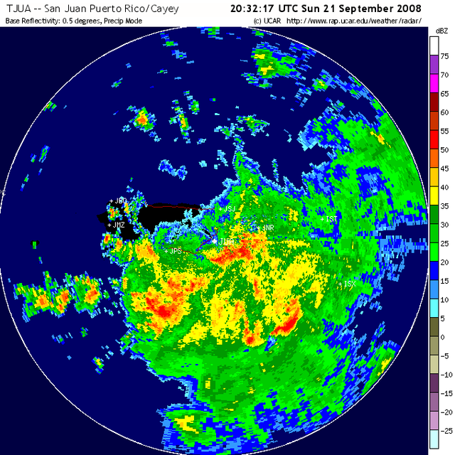
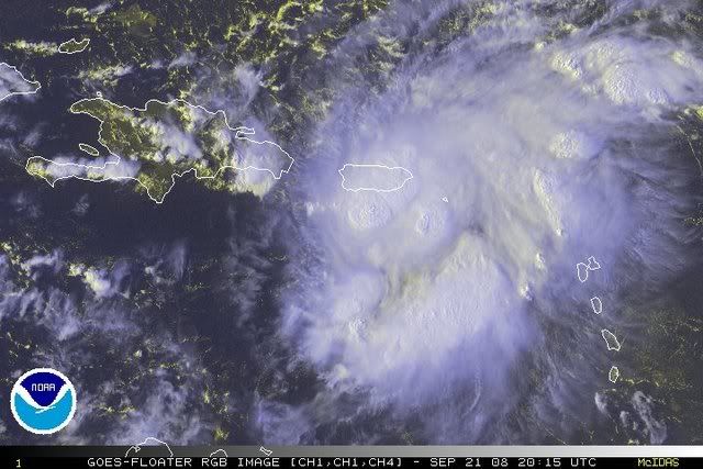
No TD, no TS today. Very disorganized low-level wind field. Can't just name a disorganized cluster of thunderstorms a TD. You'll have to wait until Monday.
I know Wxman, I was being sarcastic. Just taking a stab at the classifications you would be in the GOM.
Is there really any FACTUAL evidence that the NHC has classified things in the GOM as TD's without a circulation. Or that warnings or watches were posted without classification. I highly doubt it.