IDW10800
Australian Government Bureau of Meteorology
Western Australia
TROPICAL CYCLONE OUTLOOK FOR NORTHWESTERN AUSTRALIA
Issued at 2:00pm WDT on Wednesday the 25th of February 2009
For the area south of LATITUDE 10 SOUTH between LONGITUDES 110 - 125 EAST
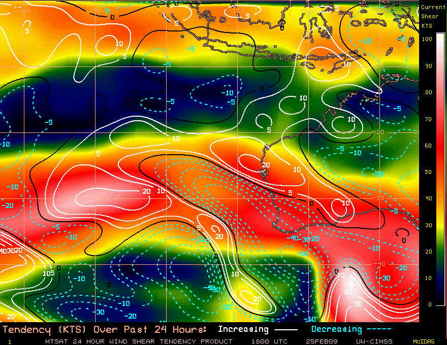
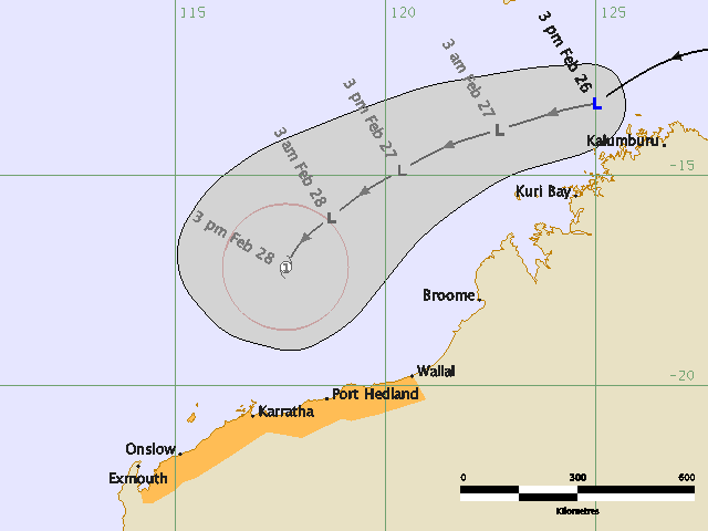
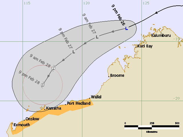
There are currently no significant lows in the region. At midday WDT Wednesday a
weak tropical low was located near 12.3S 128.5E, 260 kilometres west of Darwin.
The low is expected to move generally westwards during today and Thursday and be
off the west Kimberley coast by late Thursday. It is not expected to develop
into a cyclone before Friday but may develop on Friday, or more likely on
Saturday, as it moves southwest towards the Pilbara coast. This system is likely
to produce significant rainfall in areas of the Pilbara over the weekend.
No other significant lows are expected to affect the region in the outlook
period.
The likelihood of a tropical cyclone developing in the outlook region in the
next three days is:
Thursday : Low
Friday : Moderate
Saturday : High
** NOTE: Development potential is an estimate of the probability of **
** tropical cyclone development within a 24 hour period. **
** LOW = 10% or less MODERATE = 20-40% HIGH = 50% or more **