Global model runs discussion

Moderator: S2k Moderators

Message
Author
User avatar
cycloneye
Admin
Admin
Posts: 143883
Age: 68
Joined: Thu Oct 10, 2002 10:54 am
Location: San Juan, Puerto Rico

Re: Long / Medium Range Model Runs

#241 Postby cycloneye » Mon Jul 06, 2009 1:13 pm

EURO and GFS 500mb heights pattern in 10 days show high pressure in a big way.That explains why GFS is showing the track of the supposed CV system not rising much in latitud.

Image

http://www.meteo.psu.edu/~gadomski/ECMWF_0z/test8.gif
0 likes   

User avatar
gatorcane
S2K Supporter
S2K Supporter
Posts: 23689
Age: 47
Joined: Sun Mar 13, 2005 3:54 pm
Location: Boca Raton, FL

Re: Long / Medium Range Model Runs

#242 Postby gatorcane » Mon Jul 06, 2009 2:12 pm

12Z Euro shows this system at 240 hours north of the Leewards.

http://www.ecmwf.int/products/forecasts ... 9070612!!/
0 likes   

User avatar
cycloneye
Admin
Admin
Posts: 143883
Age: 68
Joined: Thu Oct 10, 2002 10:54 am
Location: San Juan, Puerto Rico

Re: Long / Medium Range Model Runs

#243 Postby cycloneye » Mon Jul 06, 2009 5:54 pm

Not surprised with the change in intensity this way far out as the 18z GFS has a more weak system as it shows a strong wave reaching the Lesser Antilles at the 21rst instead of a much stronger system it had in past runs.

http://www.nco.ncep.noaa.gov/pmb/nwprod ... loop.shtml
0 likes   

Ed Mahmoud

Re: Long / Medium Range Model Runs

#244 Postby Ed Mahmoud » Mon Jul 06, 2009 5:58 pm

gatorcane wrote:12Z Euro shows this system at 240 hours north of the Leewards.

http://www.ecmwf.int/products/forecasts ... 9070612!!/


I see a big wind surge in the Caribbean (which may be a semi-permanent feature, at least until later in the season), but the poor graphic display of the ECMWF free version of the Euro makes it awfully hard to say for sure it has a feature.

That little bit of 850 mb winds over 30 knots may be suggestive of a wave or low, but it is just kind of hard to tell for sure.
0 likes   

Ed Mahmoud

Re: Long / Medium Range Model Runs

#245 Postby Ed Mahmoud » Tue Jul 07, 2009 6:35 am

Still 15 days away from strong wave near Puerto Rico. If GFS is correct...

Image
0 likes   

User avatar
cycloneye
Admin
Admin
Posts: 143883
Age: 68
Joined: Thu Oct 10, 2002 10:54 am
Location: San Juan, Puerto Rico

Re: Long / Medium Range Model Runs

#246 Postby cycloneye » Tue Jul 07, 2009 12:23 pm

The 12z CMC shows a glimpse of something in the Eastern Atlantic under 144 hours.

Image

http://moe.met.fsu.edu/cgi-bin/cmctc2.c ... =Animation

By the way,GFS abandoned the CV wave scenario.
0 likes   

meteorologyman
Category 2
Category 2
Posts: 541
Joined: Wed Mar 15, 2006 6:48 pm
Location: Florida, Kissimmee/St.CLoud

#247 Postby meteorologyman » Tue Jul 07, 2009 12:36 pm

How is the MJO phase right now I here no talk about it??
0 likes   

Ed Mahmoud

Re:

#248 Postby Ed Mahmoud » Tue Jul 07, 2009 1:04 pm

meteorologyman wrote:How is the MJO phase right now I here no talk about it??


Because it is boring now?

Image
0 likes   

User avatar
cycloneye
Admin
Admin
Posts: 143883
Age: 68
Joined: Thu Oct 10, 2002 10:54 am
Location: San Juan, Puerto Rico

Re: Long / Medium Range Model Runs

#249 Postby cycloneye » Tue Jul 07, 2009 1:48 pm

12z NOGAPS for the first time shows something near the Cape Verde islands but it vanishes rapidly.

Image

http://moe.met.fsu.edu/cgi-bin/ngptc2.c ... =Animation
0 likes   

User avatar
cycloneye
Admin
Admin
Posts: 143883
Age: 68
Joined: Thu Oct 10, 2002 10:54 am
Location: San Juan, Puerto Rico

Re: Long / Medium Range Model Runs

#250 Postby cycloneye » Wed Jul 08, 2009 12:43 pm

12z GFS doesnt have a Tropical Cyclone,moving westward from Africa,but it is a strong wave that by the 40W line it weakens.Also this run has a low pressure forming near Bermuda,but will it be semi-warm core or not is the question.

http://www.nco.ncep.noaa.gov/pmb/nwprod ... loop.shtml

12z CMC has a strong Tropical Storm to a minimal hurricane in the EPAC for next week.

Image

http://moe.met.fsu.edu/cgi-bin/cmctc2.c ... =Animation
0 likes   

User avatar
cycloneye
Admin
Admin
Posts: 143883
Age: 68
Joined: Thu Oct 10, 2002 10:54 am
Location: San Juan, Puerto Rico

Re: Long / Medium Range Model Runs

#251 Postby cycloneye » Wed Jul 08, 2009 5:47 pm

After a few runs without any strong system in the Eastern Atlantic,GFS is again with the CV strong wave scenario in the 18z run.It shows a low pressure attached to the wave as it tracks westward.As it reaches 40W,it weakens.But the 00z run may be better to look at as it has more data than the 06z and 18z runs.Lets see what happens in the next runs from this and other models.The wave GFS shows is currently in Central Africa.I am noy saying anything about development or not,only posting the runs in this thread. :)

Image

Loop until 174 hours.

http://www.nco.ncep.noaa.gov/pmb/nwprod ... loop.shtml

Complete loop of 18z run.

http://www.nco.ncep.noaa.gov/pmb/nwprod ... loop.shtml
0 likes   

Cyclone1
Category 5
Category 5
Posts: 2739
Age: 33
Joined: Tue Jun 12, 2007 12:03 pm
Location: Florida

#252 Postby Cyclone1 » Wed Jul 08, 2009 6:30 pm

Ehh... wake me up in August.
0 likes   

User avatar
gatorcane
S2K Supporter
S2K Supporter
Posts: 23689
Age: 47
Joined: Sun Mar 13, 2005 3:54 pm
Location: Boca Raton, FL

#253 Postby gatorcane » Wed Jul 08, 2009 7:31 pm

The posts in this forum are NOT official forecast and should not be used as such. They are just the opinion of the poster and may or may not be backed by sound meteorological data. They are NOT endorsed by any professional institution or storm2k.org. For official information, please refer to the NHC and NWS products


SAL across the MDR is strong right now. SSTs are running a bit below normal also. Right now I do not expect any development from this wave in the MDR -- it has a small chance once it moves farther west into the Caribbean. But even then, chances are pretty remote as it is likely going to run into a TUTT.
0 likes   

User avatar
Aquawind
Category 5
Category 5
Posts: 6714
Age: 61
Joined: Mon Jun 16, 2003 10:41 pm
Location: Salisbury, NC
Contact:

Re:

#254 Postby Aquawind » Wed Jul 08, 2009 9:06 pm

Cyclone1 wrote:Ehh... wake me up in August.


:lol: Thanks for the laugh. Seems like a sleeper season alrighty..but, that can change quickly and it could be a active few weeks come prime time. Thus far a real snoozer. We all be watchin..
0 likes   

User avatar
BigA
Professional-Met
Professional-Met
Posts: 1317
Joined: Sun Jul 24, 2005 10:56 pm

Re: Long / Medium Range Model Runs

#255 Postby BigA » Wed Jul 08, 2009 11:37 pm

00z GFS continues to show developing low off Africa at and just after the "magical" 144 hour mark

150 hour

http://www.nco.ncep.noaa.gov/pmb/nwprod ... n_150l.gif

For what it's worth, the post 180 hr fantasyland/low resolution predictions has the system moving into the northern Caribbean, across Hispanola and Cuba, and into the Gulf
0 likes   

User avatar
blp
Category 5
Category 5
Posts: 2840
Age: 46
Joined: Thu Sep 09, 2004 7:51 pm
Location: Miami, FL
Contact:

Re: Long / Medium Range Model Runs

#256 Postby blp » Thu Jul 09, 2009 12:34 am

00Z GFS

Strongest run I have seen so far. Let see if it changes its mind again tomorrow.

168hr
Image

00Z EURO, has a low in the same area. Hard to tell with the low resolution though how strong it is.
168hr
Image
0 likes   

User avatar
Sjones
Tropical Storm
Tropical Storm
Posts: 168
Joined: Thu May 17, 2007 2:09 pm
Location: Southeast Texas

Re: Long / Medium Range Model Runs

#257 Postby Sjones » Thu Jul 09, 2009 8:53 am

Looks to be not as strong on this run, but still out there

Image
0 likes   

User avatar
gatorcane
S2K Supporter
S2K Supporter
Posts: 23689
Age: 47
Joined: Sun Mar 13, 2005 3:54 pm
Location: Boca Raton, FL

Re: Long / Medium Range Model Runs

#258 Postby gatorcane » Thu Jul 09, 2009 9:50 am

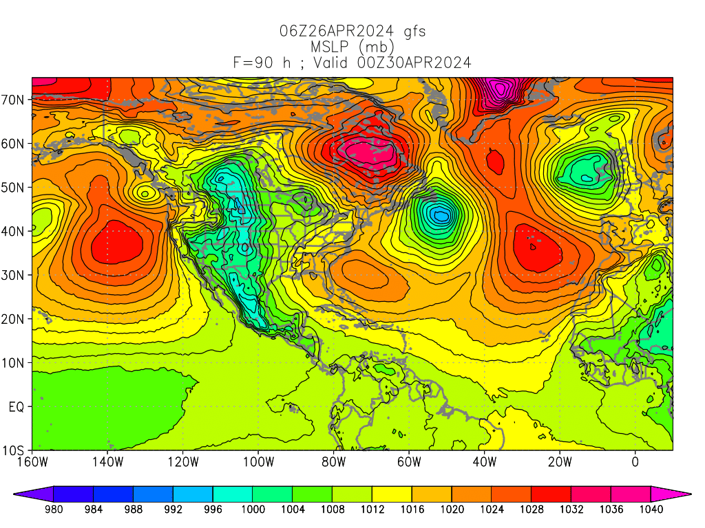
cycloneye wrote:.But the 00z run may be better to look at as it has more data than the 06z and 18z runs.


This system is back in a big way in the 00Z run. GFS depicts a westrunner that barrels through the Caribbean islands passing through the SE Bahamas, Straits of FL and into the central GOM. This is all way out though, but interesting that the system is back again and how far west the GFS takes it...

Image

Image

Image
0 likes   

User avatar
boca
Category 5
Category 5
Posts: 6365
Age: 60
Joined: Mon Dec 15, 2003 8:49 am
Location: Boca Raton,FL

Re: Long / Medium Range Model Runs

#259 Postby boca » Thu Jul 09, 2009 10:12 am

Here today gone tomorrow is the motto for the GFS.Let's see if something actually forms. I think the area right now is in Central Africa.
0 likes   

User avatar
gatorcane
S2K Supporter
S2K Supporter
Posts: 23689
Age: 47
Joined: Sun Mar 13, 2005 3:54 pm
Location: Boca Raton, FL

Re: Long / Medium Range Model Runs

#260 Postby gatorcane » Thu Jul 09, 2009 10:25 am

boca wrote:Here today gone tomorrow is the motto for the GFS.Let's see if something actually forms. I think the area right now is in Central Africa.


True, but the 00Z and 12Z runs have more data inputed, as cycloneye mentioned.

The long-range ECMWF shows nothing in this timeframe.

I'm very skeptical it will happen of course, just noting what the model is outputting.
0 likes   


Return to “2015”

Who is online

Users browsing this forum: No registered users and 22 guests