


Moderator: S2k Moderators


Cosme wrote:Hello to all! Another bajan here posting from St. James
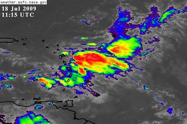
Looks like it's about time to all aboard the wave train, huh?
Err... Cosme, almost a year has passed since you joined S2K and you've only just made your first post? What's up with that?Cosme wrote:Hello to all! Another bajan here posting from St. James
Looks like it's about time to all aboard the wave train, huh?
abajan wrote:Err... Cosme, almost a year has passed since you joined S2K and you've only just made your first post? What's up with that?Cosme wrote:Hello to all! Another bajan here posting from St. James
Looks like it's about time to all aboard the wave train, huh?
Anyway, it's nice having another Bajan aboard (there are a few others but for some reason, they hardly ever post. I don't know what they're afraid of).
Since you're from St. James which gets significantly more rainfall than Christ Church (especially this part of the parish), it will give a more balanced picture to S2K of weather events affecting the island. So we certainly look forward to hearing from you more often.


Code: Select all
ASCA42 TJSJ 181410
RWRPR
PUERTO RICO/U.S. VIRGIN ISLANDS HOURLY WEATHER ROUNDUP
NATIONAL WEATHER SERVICE SAN JUAN PR
1000 AM AST SAT JUL 18 2009

PRZ001-004-181500-
PUERTO RICO

CITY           SKY/WX    TMP DP  RH WIND       PRES   REMARKS
SAN JUAN LMM   MOSUNNY   88  75  66 E17       30.09S HX  97
AGUADILLA      MOSUNNY   86  75  70 NE17      30.10R HX  95
$$

PRZ006-007-181500-
U.S. VIRGIN ISLANDS

CITY           SKY/WX    TMP DP  RH WIND       PRES   REMARKS
CHARLOTTE AMA  SUNNY     90  72  55 E14G22    30.08S HX  96
CHRISTIANSTED  MOSUNNY   88  72  58 NE20G26   30.07S HX  94
Return to “USA & Caribbean Weather”
Users browsing this forum: TomballEd and 150 guests


