

KWT wrote:Must be a very small center wxman57, I don't think they would have upgraded unless there was proof.
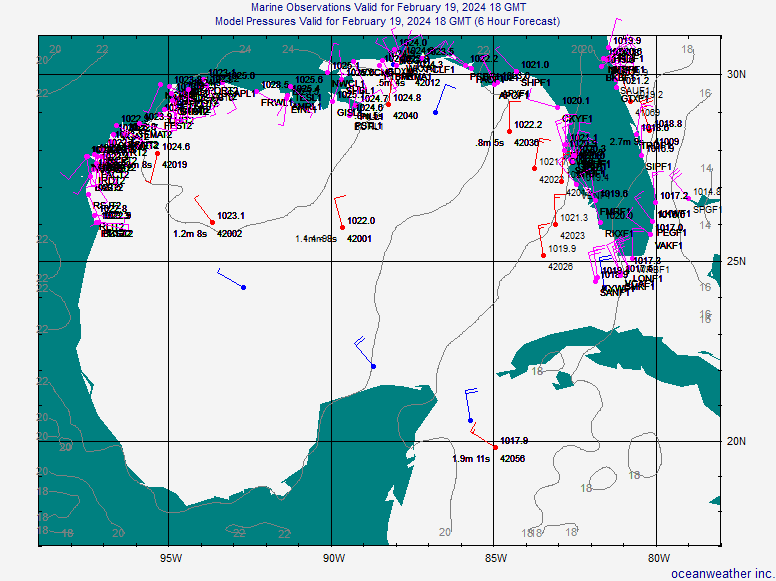
They mentioned a QS pass, but I can't find that either. Anyone have a link? But you'd think we could find at least some turning in the surface obs near the western FL Peninsula and with all the buoys out there. Can't even find any lowering pressures. See for yourself. Here's a plot. Look at the buoy 56nm NNW of the crosshairs which mark the NHC center. ESE at 20 kts - blowing away from their point. Is this supposed to be a micro circulation that doesn't affect a point more than 60 miles away? Looks to me that it may be a strong circulation aloft, based on surface obs.


