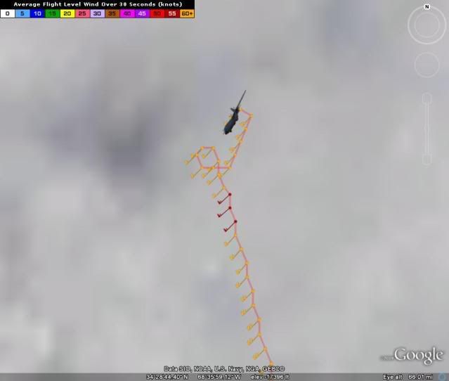
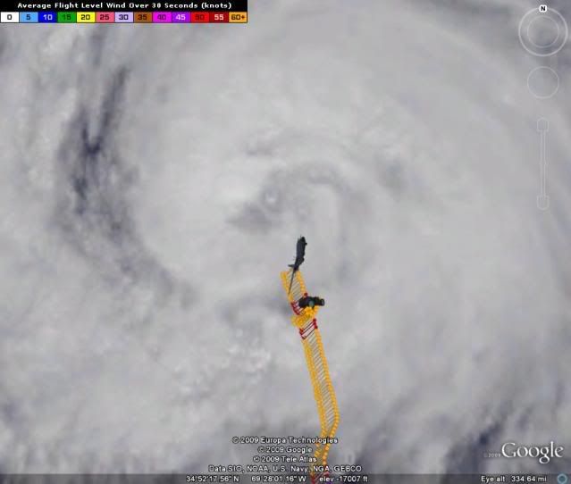
Remembering the good times!
Moderator: S2k Moderators


wxman57 wrote:Good thing Nova Scotia has nothing to worry about from Bill.

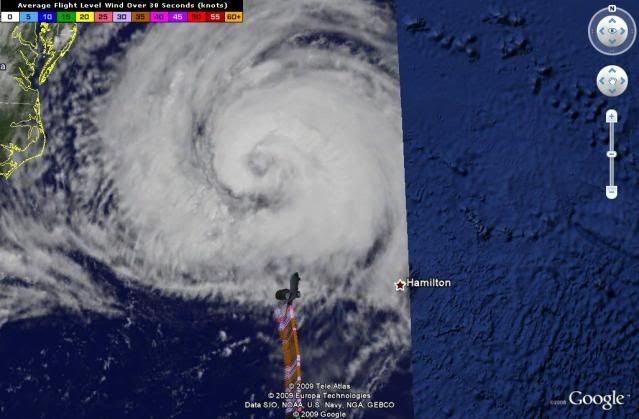
PTPatrick wrote:Just looked at all the most Recent models
0z CMC landfall in Halifax
12z z GFS basically brings it into Halfax Metro and emerges over Cape Breton Island
6z GFDL basically the same as the GFS except its half on the coast and half over water
06 HWRF a hear south of GFDL with most of the center off shore but some onshore and Halfax would still take a licking
Nogaps hits Halfax ala CMC.
NAM at 12 is probably the most offshore but still shows quite a bit of weather for Halfiax.
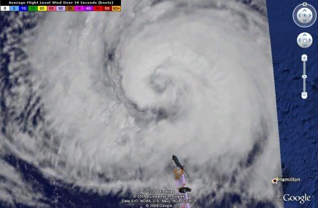
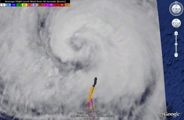
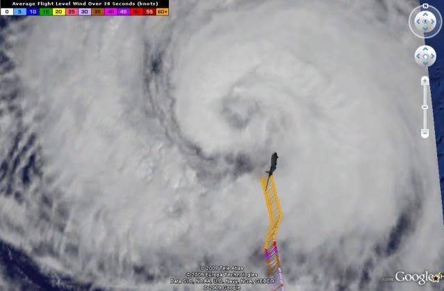
SO, what I dont get, is why the Environment Canada has Halifax under a TS warning and not a Hurricane warning. The Canadian met on Accuwx says he thinks this wont be as bad for Halifax as Juan because it was hit perpendicular, but I have my reservations about that as for all intents and purposes a large part of the inner core, even if its the west side, will hit Halifax directly....not to mention much of the worst weather could end up on the west side in a transitioning cyclone, which this will be when it gets there. Their own hurricane models even brings it right into Halifax. I am not an expert and I realize that this area of canada juts so far into the atlantic that gale storms arent uncommon. BUT i think this has the potential to be a lot worse for Halifax than a typical winter gale, and certainly worse than Juan given its much larger size. Juan was barely a cat 2 at landfall. This could certainly make a run at hitting stronger than Juan. So I once again, I dot get it. Maybe cultural? I know other countries dont get bent out of shape about these technicalities like us US weather nuts.
Users browsing this forum: No registered users and 174 guests