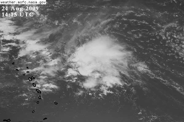
ATL: TROPICAL DEPRESSION DANNY (05L)
Moderator: S2k Moderators

Yeah there are certainly some interesting comprasions to be made between this set-up and Bob, esp on the CMC and the ECM which both led the way with Bill.
Sanibel, for now the pattern probably is decent for Florida, but firstly it could change and secondly we always have those late season systems to worry about, though in El Nino of course they are usually much less common.
Sanibel, for now the pattern probably is decent for Florida, but firstly it could change and secondly we always have those late season systems to worry about, though in El Nino of course they are usually much less common.
0 likes
Re: ATL: Invest 92L - Computer Models
GFS shows an obvious weakness in the east-oriented Bermuda High. I don't see any back-building ridge, so the models should be considered wack until both the system and synoptic resolve.
If you look closely two of those model tracks bend west and one enters what looks like it could be the beginning of a cyclonic loop.
I'd discount them until the situation becomes clearer.
If you look closely two of those model tracks bend west and one enters what looks like it could be the beginning of a cyclonic loop.
I'd discount them until the situation becomes clearer.
0 likes

-
cycloneye

- Admin

- Posts: 149283
- Age: 69
- Joined: Thu Oct 10, 2002 10:54 am
- Location: San Juan, Puerto Rico
ATL : TROPICAL DEPRESSION DANNY - Recon Thread
They are ready to go starting tommorow.
000
NOUS42 KNHC 241445
WEATHER RECONNAISSANCE FLIGHTS
CARCAH, NATIONAL HURRICANE CENTER, MIAMI, FL.
1045 AM EDT MON 24 AUGUST 2009
SUBJECT: TROPICAL CYCLONE PLAN OF THE DAY (TCPOD)
VALID 25/1100Z TO 26/1100Z AUGUST 2009
TCPOD NUMBER.....09-088
I. ATLANTIC REQUIREMENTS
1. SUSPECT AREA (NORTH OF PUERTO RICO)
FLIGHT ONE - TEAL 70
A. 25/2100Z
B. AFXXX 01AAA INVEST
C. 25/1900Z
D. 22.0N 67.0W
E. 25/2000Z TO 26/0001Z
F. SFC TO 10,000 FT
FLIGHT TWO - TEAL 71
A. 26/0600Z
B. AFXXX 0205A CYCLONE
C. 26/0400Z
D. 23.0N 71.0W
E. 26/0530Z TO 26/1000Z
F. SFC TO 10,000 FT
2. OUTLOOK FOR SUCCEEDING DAY: BEGIN 6-HRLY FIXES
AT 26/1800Z IF SYSTEM DEVELOPS.
0 likes
What may be happening with the GFS is its being over progressive with the whole pattern and too keen to kick the next upper trough out into the Atlantic. The ECM is certainly slower with that feature and is more amplified with the pattern as well.
The 12z suite will be interesting, so the cycle starts again.
The 12z suite will be interesting, so the cycle starts again.
0 likes


-
deltadog03

- Professional-Met

- Posts: 3580
- Joined: Tue Jul 05, 2005 6:16 pm
- Location: Macon, GA
Re: ATL: Invest 92L
The ULL might be flaring it but I see an increasing twist in the lower levels and main convection.
0 likes

-
SEASON_CANCELED

- Category 3

- Posts: 887
- Joined: Mon Jul 06, 2009 5:17 am
- Location: 8 Bit Charlie Sheen
-
Derek Ortt
No Derek the ECM constantly showed the weakness developing around 50-60W, the upper high moving off to the SW ad eroding from the Bermuda region then the next upper trough picking it up and kicking it out to sea. It was too far east at first thats for sure but it had that idea quite a bit before the GFS which was still busy plowing this one into The LA's.
Anyway this is a fresh new system so one model that did well with one system may not do nearly so good this time round!
Anyway this is a fresh new system so one model that did well with one system may not do nearly so good this time round!
0 likes
-
otowntiger
- Category 5

- Posts: 1932
- Joined: Tue Aug 31, 2004 7:06 pm
Re: ATL: Invest 92L
I don't know, this one seems to already have a pretty definitive northerly component to its motion right now. Looks to be sliding northwest or maybe even more north than that. My guess is this one could very well miss every one again, save for possible Bermuda.
Disclaimer: I don't know what I'm talking about necessarily, just what my amateur untrained eyes see right now. Refer to NHC for official news and information.
Disclaimer: I don't know what I'm talking about necessarily, just what my amateur untrained eyes see right now. Refer to NHC for official news and information.
0 likes
-
deltadog03
- Professional-Met
- Posts: 3580
- Joined: Tue Jul 05, 2005 6:16 pm
- Location: Macon, GA


Who is online
Users browsing this forum: No registered users and 27 guests