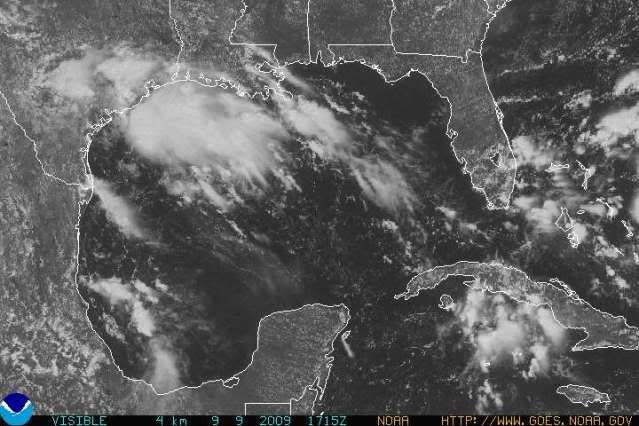
attallaman wrote:Two of NOLA's TV METs were saying this morning there is a good possibility that SE LA and coastal MS could receive heavy rains from the system currently in the BOC later this week. Could the METs in NOLA be right or is the system in the BOC primarily heading for SC TX, SE TX, or SW LA?
TWC is only indicating a 30 to 40% chance of "Isolated Thunderstorms" at this point in our area(SE LA).