Latest
Moderator: S2k Moderators


Personal Forecast Disclaimer:
The posts in this forum are NOT official forecast and should not be used as such. They are just the opinion of the poster and may or may not be backed by sound meteorological data. They are NOT endorsed by any professional institution or storm2k.org. For official information, please refer to the NHC and NWS products.


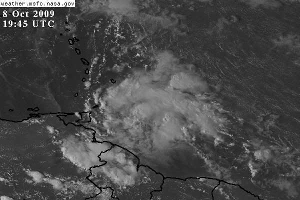
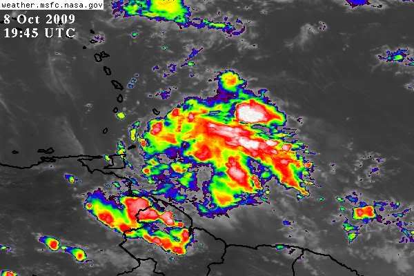
BigA wrote:It is rather hard to figure out the exact direction of motion, given the lack of a surface circulation, but the convection has certainly expanded northward throughout the day.


ozonepete wrote:It all depends on where the low level center consolidates. This is still just a cluster of thunderstorms with some broad mid-level rotation. The LLC could form anywhere between 9.5N and 12N or so. If it forms near 11N we'll have a depression. I don't know why anyone feels obligated to trust the initial position the NHC is using. It's a good place to start, but it doesn't have to be gospel.
By Peter Allen <stilettocruises at yahoo.com>
Date: Thu, 8 Oct 2009 15:53:27 -0700 (PDT)
Looks like we should have a wet and windy nite tonite as this wave on our SE doorstep looks impressive on the satellite photo.NHC says it's interaction with land stops it from further development nevertheless Trinidad through the windward islands should be getting rain and gusty winds.Our friends in the ABC islands should keep an eye on it.Regards Peter

Nimbus wrote:The convection has built on the north side of the wave so some activity will track into the Caribbean. Guess it all depends on shear now.


StormingB81 wrote:Stupid question but I have been thinking about it. How do they come up with the invest numbers? and how do they come up with them from one year to the next? Thanks.
Users browsing this forum: No registered users and 16 guests


