WPAC: SEVERE TROPICAL STORM LUPIT (22W)

Moderator: S2k Moderators

Message
Author
oaba09
S2K Supporter
S2K Supporter
Posts: 1496
Age: 38
Joined: Thu Oct 01, 2009 10:02 am
Location: Valenzuela, Philippines
Contact:

Re: Re:

#541 Postby oaba09 » Tue Oct 20, 2009 4:35 am

HURAKAN wrote:
oaba09 wrote:Is that an effect of the EWRC???


Yes, the inner center is the old one and it's collapsing. The big eye will take over and try to tighten for the typhoon to intensify


Interesting...so it is trying to re-intensify...
0 likes   

User avatar
Infdidoll
Category 2
Category 2
Posts: 667
Age: 47
Joined: Thu Oct 01, 2009 8:39 pm
Location: Temecula, CA

Re: Re:

#542 Postby Infdidoll » Tue Oct 20, 2009 4:39 am

HURAKAN wrote:
oaba09 wrote:Is that an effect of the EWRC???


Yes, the inner center is the old one and it's collapsing. The big eye will take over and try to tighten for the typhoon to intensify


I saw that...and was thinking EWRC, but I'm still too novice to trust my own judgment.
0 likes   

User avatar
drdavisjr
Category 1
Category 1
Posts: 428
Age: 57
Joined: Mon Oct 12, 2009 7:07 am
Location: Marilao, Bulacan, Philippines
Contact:

Re: WPAC: TYPHOON LUPIT (22W)

#543 Postby drdavisjr » Tue Oct 20, 2009 4:53 am

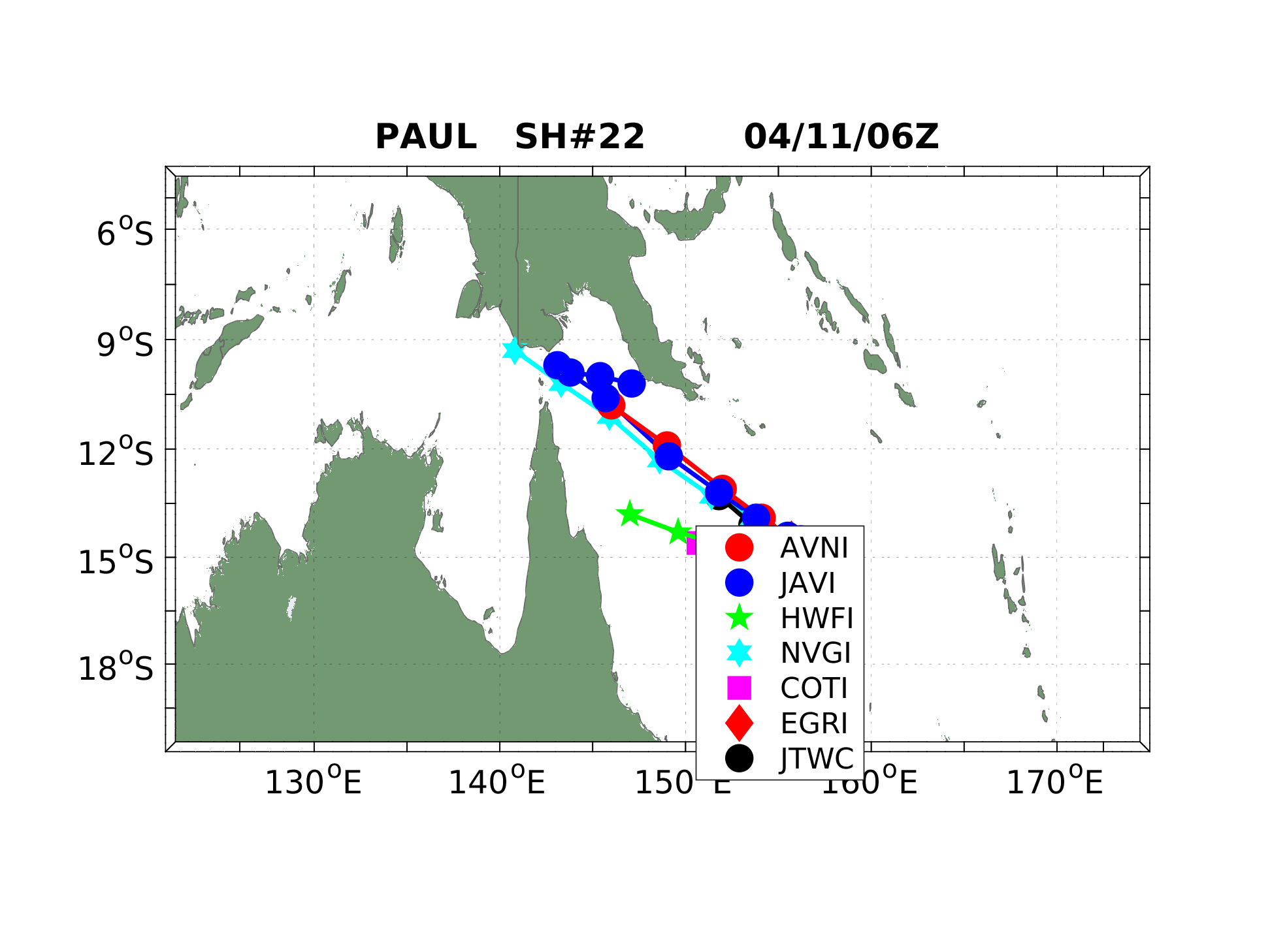
I don't know a whole lot about this, but it sure looks to me that Taiwan should start preparing. Looking at the water vapor loops, the STR to the north is too weak to push Lupit down to the Philippines.

Like I say, I'm no expert, but this is how it appears.
0 likes   

User avatar
HURAKAN
Professional-Met
Professional-Met
Posts: 46086
Age: 38
Joined: Thu May 20, 2004 4:34 pm
Location: Key West, FL
Contact:

#544 Postby HURAKAN » Tue Oct 20, 2009 5:31 am

Image

Latest
0 likes   

User avatar
HURAKAN
Professional-Met
Professional-Met
Posts: 46086
Age: 38
Joined: Thu May 20, 2004 4:34 pm
Location: Key West, FL
Contact:

#545 Postby HURAKAN » Tue Oct 20, 2009 5:32 am

Image

Multi-agency track
0 likes   

User avatar
Infdidoll
Category 2
Category 2
Posts: 667
Age: 47
Joined: Thu Oct 01, 2009 8:39 pm
Location: Temecula, CA

Re: WPAC: TYPHOON LUPIT (22W)

#546 Postby Infdidoll » Tue Oct 20, 2009 5:36 am

drdavisjr wrote:I don't know a whole lot about this, but it sure looks to me that Taiwan should start preparing. Looking at the water vapor loops, the STR to the north is too weak to push Lupit down to the Philippines.

Like I say, I'm no expert, but this is how it appears.


It's not too crazy a theory...You're not the only one thinking that way:

Image
0 likes   

User avatar
drdavisjr
Category 1
Category 1
Posts: 428
Age: 57
Joined: Mon Oct 12, 2009 7:07 am
Location: Marilao, Bulacan, Philippines
Contact:

Re: WPAC: TYPHOON LUPIT (22W)

#547 Postby drdavisjr » Tue Oct 20, 2009 5:42 am

Infdidoll wrote:It's not too crazy a theory...You're not the only one thinking that way:


If I'm not mistaken, those are current numerical models depicting a recurve after the wsw drop in lattitude. I'm guessing, and please note that I am a true noob at this; that this storm will continue lazily nw towards Taiwan. But I might be very well underestimating the ridge to the northwest over east China. I'd have to stick with JTWC and JMA unless proven otherwise...I'm just really hoping it misses the Philippines (and Taiwan too).
0 likes   

oaba09
S2K Supporter
S2K Supporter
Posts: 1496
Age: 38
Joined: Thu Oct 01, 2009 10:02 am
Location: Valenzuela, Philippines
Contact:

Re:

#548 Postby oaba09 » Tue Oct 20, 2009 5:42 am

HURAKAN wrote:Image

Multi-agency track


Everything is still in agreement of a SW movement............The question is, why is lupit still noving NW?
0 likes   

oaba09
S2K Supporter
S2K Supporter
Posts: 1496
Age: 38
Joined: Thu Oct 01, 2009 10:02 am
Location: Valenzuela, Philippines
Contact:

Re: WPAC: TYPHOON LUPIT (22W)

#549 Postby oaba09 » Tue Oct 20, 2009 5:43 am

drdavisjr wrote:
Infdidoll wrote:It's not too crazy a theory...You're not the only one thinking that way:


If I'm not mistaken, those are current numerical models depicting a recurve after the wsw drop in lattitude. I'm guessing, and please note that I am a true noob at this; that this storm will continue lazily nw towards Taiwan. But I might be very well underestimating the ridge to the northwest over east China. I'd have to stick with JTWC and JMA unless proven otherwise...I'm just really hoping it misses the Philippines (and Taiwan too).


most models are still indicating a SW movement................This is quite connfusing coz lupit is still currently moving NW...
0 likes   

User avatar
drdavisjr
Category 1
Category 1
Posts: 428
Age: 57
Joined: Mon Oct 12, 2009 7:07 am
Location: Marilao, Bulacan, Philippines
Contact:

Re: WPAC: TYPHOON LUPIT (22W)

#550 Postby drdavisjr » Tue Oct 20, 2009 5:50 am

Areas Having Public Storm Warning Signal
Signal No. 2 (60-100 kph winds)
Batanes Gr of Islands
Cagayan
Calayan Island
Babuyan Islands
Isabela

Signal No. 1 (30-60 kph winds)
Ilocos Norte
Ilocos Sur
Apayao
Abra
Kalinga
Mt. Province
Benguet
La Union
Ifugao
Nueva Vizcaya
Quirino
Aurora
Northern Quezon
Polillo Island
0 likes   

oaba09
S2K Supporter
S2K Supporter
Posts: 1496
Age: 38
Joined: Thu Oct 01, 2009 10:02 am
Location: Valenzuela, Philippines
Contact:

Re: WPAC: TYPHOON LUPIT (22W)

#551 Postby oaba09 » Tue Oct 20, 2009 5:54 am

drdavisjr wrote:Areas Having Public Storm Warning Signal
Signal No. 2 (60-100 kph winds)
Batanes Gr of Islands
Cagayan
Calayan Island
Babuyan Islands
Isabela

Signal No. 1 (30-60 kph winds)
Ilocos Norte
Ilocos Sur
Apayao
Abra
Kalinga
Mt. Province
Benguet
La Union
Ifugao
Nueva Vizcaya
Quirino
Aurora
Northern Quezon
Polillo Island


Here we go...I hope people are prepared this time...
0 likes   

User avatar
drdavisjr
Category 1
Category 1
Posts: 428
Age: 57
Joined: Mon Oct 12, 2009 7:07 am
Location: Marilao, Bulacan, Philippines
Contact:

Re: WPAC: TYPHOON LUPIT (22W)

#552 Postby drdavisjr » Tue Oct 20, 2009 6:45 am

I guess I spoke too soon. It's starting to move down now.
0 likes   

oaba09
S2K Supporter
S2K Supporter
Posts: 1496
Age: 38
Joined: Thu Oct 01, 2009 10:02 am
Location: Valenzuela, Philippines
Contact:

Re: WPAC: TYPHOON LUPIT (22W)

#553 Postby oaba09 » Tue Oct 20, 2009 6:50 am

drdavisjr wrote:I guess I spoke too soon. It's starting to move down now.


The models were right after all.....Here we go.....I'm glad I don't live up north....

Just a question for anyone who knows? How much rain will metro manila experience?
0 likes   

User avatar
drdavisjr
Category 1
Category 1
Posts: 428
Age: 57
Joined: Mon Oct 12, 2009 7:07 am
Location: Marilao, Bulacan, Philippines
Contact:

Re: WPAC: TYPHOON LUPIT (22W)

#554 Postby drdavisjr » Tue Oct 20, 2009 6:53 am

oaba09 wrote:
drdavisjr wrote:I guess I spoke too soon. It's starting to move down now.


The models were right after all.....Here we go.....I'm glad I don't live up north....

Just a question for anyone who knows? How much rain will metro manila experience?


Image
0 likes   

oaba09
S2K Supporter
S2K Supporter
Posts: 1496
Age: 38
Joined: Thu Oct 01, 2009 10:02 am
Location: Valenzuela, Philippines
Contact:

Re: WPAC: TYPHOON LUPIT (22W)

#555 Postby oaba09 » Tue Oct 20, 2009 6:55 am

drdavisjr wrote:
oaba09 wrote:
drdavisjr wrote:I guess I spoke too soon. It's starting to move down now.


The models were right after all.....Here we go.....I'm glad I don't live up north....

Just a question for anyone who knows? How much rain will metro manila experience?


Image


From what I understand...the darker the shade of red, the harder the rainfall is...am I right?
0 likes   

ricmood

Re: WPAC: TYPHOON LUPIT (22W)

#556 Postby ricmood » Tue Oct 20, 2009 6:57 am

drdavisjr wrote:I guess I spoke too soon. It's starting to move down now.


I'm seeing west movement.
BTW, is Metro Manila already spared of a direct hit?
0 likes   

oaba09
S2K Supporter
S2K Supporter
Posts: 1496
Age: 38
Joined: Thu Oct 01, 2009 10:02 am
Location: Valenzuela, Philippines
Contact:

#557 Postby oaba09 » Tue Oct 20, 2009 6:58 am

It's raining here right now(Valenzuela, Metro Manila)....
0 likes   

User avatar
drdavisjr
Category 1
Category 1
Posts: 428
Age: 57
Joined: Mon Oct 12, 2009 7:07 am
Location: Marilao, Bulacan, Philippines
Contact:

Re: WPAC: TYPHOON LUPIT (22W)

#558 Postby drdavisjr » Tue Oct 20, 2009 6:58 am

oaba09 wrote:From what I understand...the darker the shade of red, the harder the rainfall is...am I right?


Yes, from this it looks like we might get between 75-100mm rain. But, it's important to note that the forecast track was a bit lower at the time this data was released.
0 likes   

oaba09
S2K Supporter
S2K Supporter
Posts: 1496
Age: 38
Joined: Thu Oct 01, 2009 10:02 am
Location: Valenzuela, Philippines
Contact:

Re: WPAC: TYPHOON LUPIT (22W)

#559 Postby oaba09 » Tue Oct 20, 2009 6:59 am

ricmood wrote:
drdavisjr wrote:I guess I spoke too soon. It's starting to move down now.


I'm seeing west movement.
BTW, is Metro Manila already spared of a direct hit?


Pretty much...yeah...Worst case scenario is that we'll be at signal #1...
0 likes   

User avatar
drdavisjr
Category 1
Category 1
Posts: 428
Age: 57
Joined: Mon Oct 12, 2009 7:07 am
Location: Marilao, Bulacan, Philippines
Contact:

Re: WPAC: TYPHOON LUPIT (22W)

#560 Postby drdavisjr » Tue Oct 20, 2009 7:00 am

Hey oaba09, is it raining over in Valenzuela right now?
0 likes   


Return to “2009”

Who is online

Users browsing this forum: No registered users and 2 guests