Distance apart would be pretty minimal
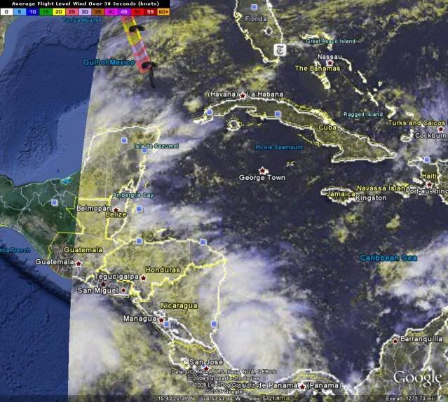
Right now they are 500 miles apart.
Moderator: S2k Moderators


Distance apart would be pretty minimal


[/quote]fci wrote:
No Fujiwara effect?
Is that because we are talking about weak systems?
Distance apart would be pretty minimal.


cycloneye wrote:Distance apart would be pretty minimal
Right now they are 500 miles apart.


Users browsing this forum: No registered users and 56 guests


