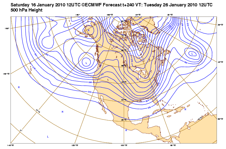
srainhoutx wrote:Portastorm wrote:I don't believe the 0z GFS and 0z Euro can be in better agreement. Below are both models depiction of the 500mb flow at 168 hours (Christmas Day). Cold for Texas? You better believe it! Probably 15-20 degrees BELOW NORMAL. Snow or ice? Uh, not looking too good for that.
The 0z GFS
The 0z Euro
Looks very chilly for Christmas Day. Things begin to get interesting in the period between Christmas and New Years Day though. With very a cold air mass in place and an active N/NW Flow Aloft with reinforcing surges of much colder air as well as a noisy SJT, the stage is being set for what appears to be 'active' period. Add to the mix any embedded shortwave activity that cannot be forecast at this range in the Upper N/NW flow as well as a surface Low developing yet again in the NW GOM, the stage may be set for some wintry weather for many across TX and the S Plains. Stay Tuned.
That's what a lot of people are failing to realize. You need the cold air in place ahead of the storm, not behind the storm like the one next week. The mid-late week cold front will set the table, a long with reinforcing shots, for winter weather the next couple weeks. BTW, the 0z GFS took away everyone's white Christmas on the east coast.
 The posts in this forum are NOT official forecast and should not be used as such. They are just the opinion of the poster and may or may not be backed by sound meteorological data. They are NOT endorsed by any professional institution or


