fogbreath wrote:Well, I can say as someone who had to drive thru the stuff we definitely got hammered this morning here in the Bay Area. An unofficial report I heard on the radio mentioned a 125 mph gust up on the top of Mt. Diablo (not sure how reliable that is)
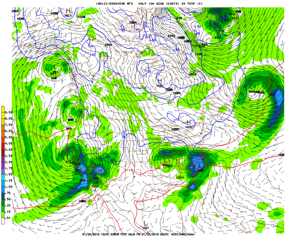
The sun teased us for about an hour at around lunchtime but now it's clouding up again - looks like another squall line is about to hit us and then the big scary one they've been chatting up here is supposed to smack us tomorrow.
Driving tomorrow will be no picnic for sure...ugh!
Talked with a friend near Paradise (N of Oroville) this mornning. She stated that the wind was very frightening. Her home sits about 2700 ft above sea level and is surrounded by trees. She cancelled an appointment in Susanville yesterday due to the snow. The next system looks to pack a wallop.