 The posts in this forum are NOT official forecast and should not be used as such. They are just the opinion of the poster and may or may not be backed by sound meteorological data. They are NOT endorsed by any professional institution or

setxweatherfreak wrote:I have a question for anyone that can answer this..my parents live near Lawton, Ok - the last few days they have heard some rumors that they are expecting another MAJOR Ice Storm before the end of Feb. - actually predicting to be worse than they had a couple weeks ago - and my parents were without electricity for 8 days - luckly they have a propane fireplace! They are very concerned and they knew I listened to you guys...any insight?? Thanks in advance!
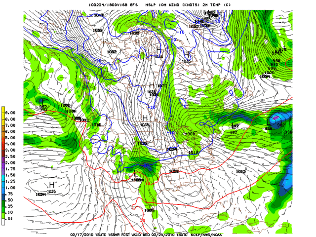
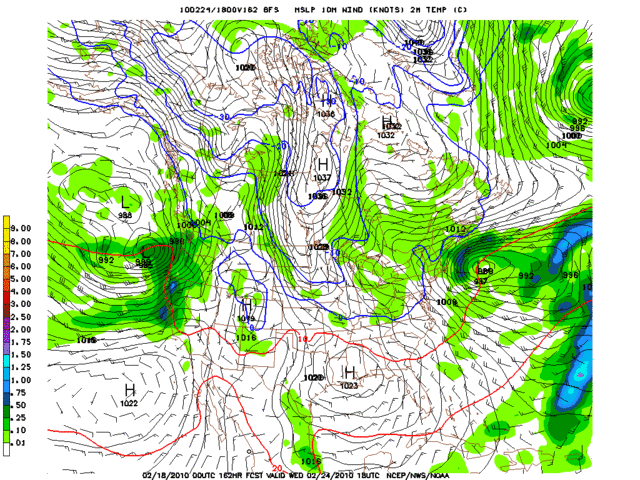
Still a good ways out but its looking likely that they will get some form of frozen precip.. Models have been sniffing it for days.. Stay tuned.. Pro mets on here are as good as they come..


