
Looking pretty good
Moderator: S2k Moderators


HURAKAN wrote:Loop _ http://weather.msfc.nasa.gov/GOES/goeseastconus.html
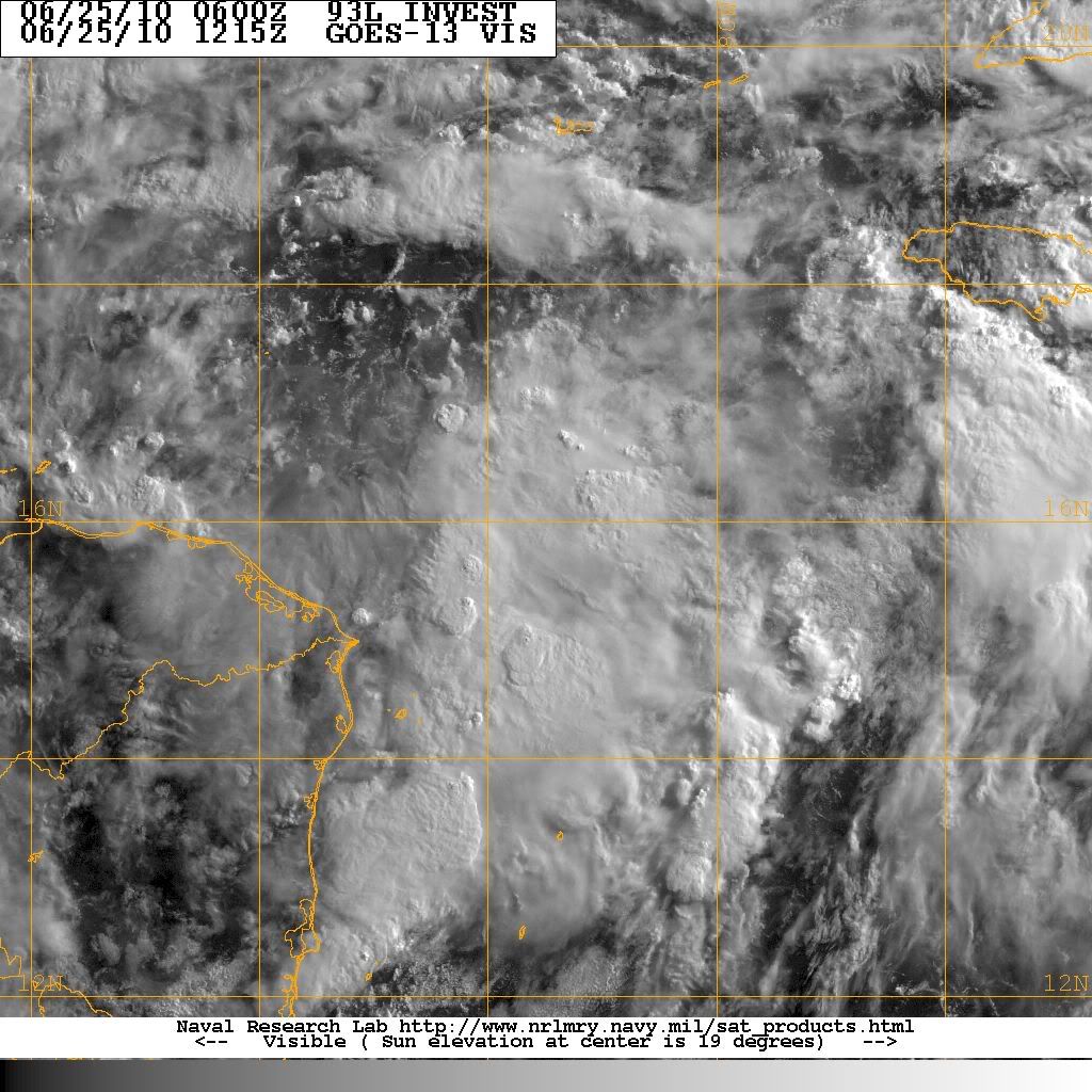
Looks like a LLC is present under the convection. First impression
tailgater wrote:Looking at the first Visible loop this morning, it doesn't look well organized yet but you can see things seem to be well on the way to becoming our first TD of 2019.

HURAKAN wrote:Yeah, I think that by 2019 it could be a tropical depression!!! lol

lrak wrote:Is this one of the longest invest threads?

Users browsing this forum: No registered users and 36 guests


