A very detailed discussion about 97L from accuweather
http://www.accuweather.com/video/906595 ... ks-end.asp
ATL: TROPICAL DEPRESSION BONNIE - DISCUSSION
Moderator: S2k Moderators
-
Tropics Guy

- Tropical Storm

- Posts: 167
- Age: 63
- Joined: Tue Aug 31, 2004 8:12 pm
- Location: Hallandale beach & Vero beach, FL
Re: ATL : INVEST 97L - DISCUSSION
The ULL to the north is blowing off the T-storms on the NW side of the wave big time, IMO looks like we'll have to wait at least another 48 hours for any significant development as it moves WNW...
TG
TG
0 likes
-
dolebot_Broward_NW
- Category 2

- Posts: 529
- Joined: Fri Sep 10, 2004 6:38 am
Re: ATL : INVEST 97L - DISCUSSION
Big outflow boundry...
We'll see if they regen but not a sign of development.
0 likes
-
CourierPR

- Category 5

- Posts: 1336
- Age: 72
- Joined: Tue Aug 31, 2004 7:53 pm
- Location: Pompano Beach, Florida
Re: ATL : INVEST 97L - DISCUSSION
Michael, is there a center of circulation developing north of the V. I. or am I wrong?
0 likes
-
Ivanhater

- Storm2k Moderator

- Posts: 11221
- Age: 39
- Joined: Fri Jul 01, 2005 8:25 am
- Location: Pensacola
Re: ATL : INVEST 97L - DISCUSSION
CourierPR wrote:Michael, is there a center of circulation developing north of the V. I. or am I wrong?
There might be something going on in that area...
0 likes
Michael
-
cycloneye

- Admin

- Posts: 149581
- Age: 69
- Joined: Thu Oct 10, 2002 10:54 am
- Location: San Juan, Puerto Rico
Re: ATL : INVEST 97L - DISCUSSION
Radar has the answer.

0 likes
Visit the Caribbean-Central America Weather Thread where you can find at first post web cams,radars
and observations from Caribbean basin members Click Here
and observations from Caribbean basin members Click Here
-
tolakram
- Admin
- Posts: 20186
- Age: 62
- Joined: Sun Aug 27, 2006 8:23 pm
- Location: Florence, KY (name is Mark)
Re: ATL : INVEST 97L - DISCUSSION
Looks like something happening just E-NE of Puerto Rico.
http://wwwghcc.msfc.nasa.gov/cgi-bin/ge ... mframes=15
Speed this up and even go 30 frames if needed. Low level inflow seems to be getting started east and south of the convection, with the entire low level flow south of the islands changing as the day wears on.
http://wwwghcc.msfc.nasa.gov/cgi-bin/ge ... mframes=15
Speed this up and even go 30 frames if needed. Low level inflow seems to be getting started east and south of the convection, with the entire low level flow south of the islands changing as the day wears on.
0 likes
M a r k
- - - - -
Join us in chat: Storm2K Chatroom Invite. Android and IOS apps also available.
The posts in this forum are NOT official forecasts and should not be used as such. Posts are NOT endorsed by any professional institution or STORM2K.org. For official information and forecasts, please refer to NHC and NWS products.

Already looking for a low level center? The convection that was getting sheared up northwest of Puerto Rico seems to be dissipating as the ULL fills in. Further east we have a major burst near 20N 63W. If it persists we get another 5 pages on storm2k and then maybe the NHC upgrades.
Going with the odds the flare up further east will probably dissipate but it does have that look.
Going with the odds the flare up further east will probably dissipate but it does have that look.
0 likes


-
Ivanhater
- Storm2k Moderator
- Posts: 11221
- Age: 39
- Joined: Fri Jul 01, 2005 8:25 am
- Location: Pensacola
Re: ATL : INVEST 97L - DISCUSSION
Something is definitely going on just NE of PR...
http://wwwghcc.msfc.nasa.gov/cgi-bin/ge ... mframes=15
Impressive Divergence!
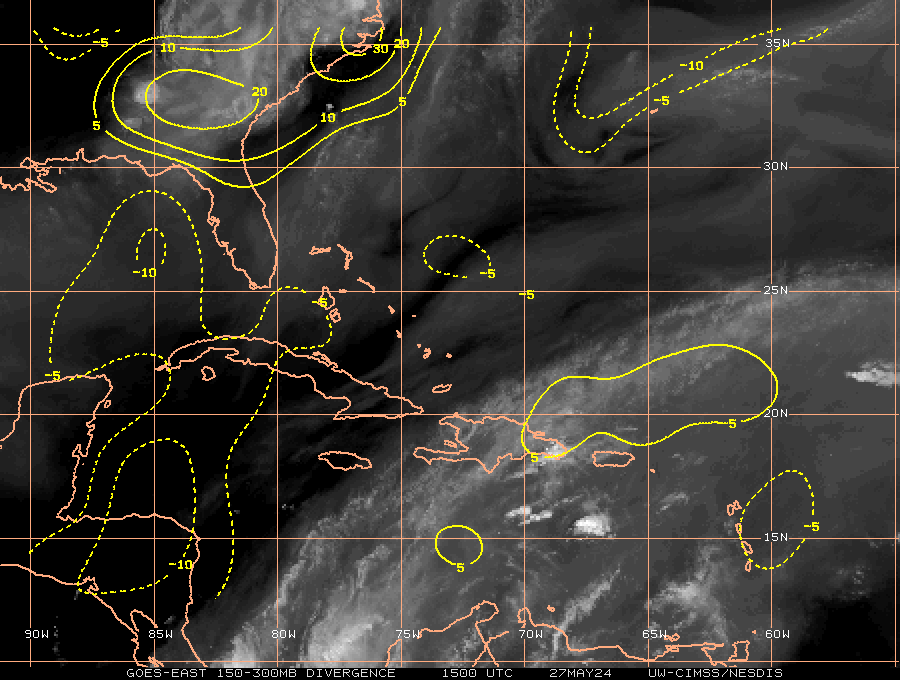
http://wwwghcc.msfc.nasa.gov/cgi-bin/ge ... mframes=15
Impressive Divergence!
0 likes
Michael

Looks like the track will take it right through the Caribbean islands, like I had thought possibly would occur last night. The steering currents though look likely to take it through to the central Gulf IMO. I just can't see anything too potent from this down the line to be honest though conditions do improve in the Gulf. Bonnie is quite possible in 5-7 days time from this.
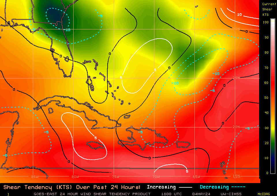
Shear is indeed decreasing right now Ivanhater, I think the system is trying to pull itself together a little, but its not going to have enough time before Hispaniola rips any proto circulation away from the upper flow...though actually with the lower flow being the way it is that may not be quite the killer it usually is...
Shear is indeed decreasing right now Ivanhater, I think the system is trying to pull itself together a little, but its not going to have enough time before Hispaniola rips any proto circulation away from the upper flow...though actually with the lower flow being the way it is that may not be quite the killer it usually is...
0 likes
Personal Forecast Disclaimer:
The posts in this forum are NOT official forecast and should not be used as such. They are just the opinion of the poster and may or may not be backed by sound meteorological data. They are NOT endorsed by any professional institution or storm2k.org. For official information, please refer to the NHC and NWS products
The posts in this forum are NOT official forecast and should not be used as such. They are just the opinion of the poster and may or may not be backed by sound meteorological data. They are NOT endorsed by any professional institution or storm2k.org. For official information, please refer to the NHC and NWS products

-
CourierPR
- Category 5
- Posts: 1336
- Age: 72
- Joined: Tue Aug 31, 2004 7:53 pm
- Location: Pompano Beach, Florida
Re: ATL : INVEST 97L - DISCUSSION
KWT, isn't this system going to move just north of the islands and into the southeast Bahamas?
0 likes


The following post is NOT an official forecast and should not be used as such. It is just the opinion of the poster and may or may not be backed by sound meteorological data. It is NOT endorsed by any professional institution including storm2k.org For Official Information please refer to the NHC and NWS products.
I hope those in Hispaniola, especially Haiti, are monitoring the progress of 97L very closely because IMHO even if it doesn’t develop into a TD, the potential for flooding certainly exists.
I hope those in Hispaniola, especially Haiti, are monitoring the progress of 97L very closely because IMHO even if it doesn’t develop into a TD, the potential for flooding certainly exists.
Last edited by abajan on Mon Jul 19, 2010 3:00 pm, edited 1 time in total.
0 likes
Just had a look at the loop, no doubt something is going on down there. I have a sneaky feeling PR is actually helping this out a little and allowing the spin to get going. You can see the MLC with the convection that is now rapidly decaying further north.
Watch this area, if there is one area that may have a slim shot before it reaches Hispaniola it'll be this region.
Watch this area, if there is one area that may have a slim shot before it reaches Hispaniola it'll be this region.
0 likes
Personal Forecast Disclaimer:
The posts in this forum are NOT official forecast and should not be used as such. They are just the opinion of the poster and may or may not be backed by sound meteorological data. They are NOT endorsed by any professional institution or storm2k.org. For official information, please refer to the NHC and NWS products
The posts in this forum are NOT official forecast and should not be used as such. They are just the opinion of the poster and may or may not be backed by sound meteorological data. They are NOT endorsed by any professional institution or storm2k.org. For official information, please refer to the NHC and NWS products
-
cycloneye
- Admin
- Posts: 149581
- Age: 69
- Joined: Thu Oct 10, 2002 10:54 am
- Location: San Juan, Puerto Rico
Re:
abajan wrote:I hope those in Hispaniola, especially Haiti, are monitoring the progress of 97L very closely because IMHO even if it doesn’t develop into a TD, the potential for flooding certainly exists.
By what is occuring in Puerto Rico for sure. I am posting this photo only to let know the members of what is going on here.But all the observations and news about this rain event are being posted on the Caribbean and Central America thread at USA & Caribbean weather forum.

0 likes
Visit the Caribbean-Central America Weather Thread where you can find at first post web cams,radars
and observations from Caribbean basin members Click Here
and observations from Caribbean basin members Click Here


Who is online
Users browsing this forum: No registered users and 33 guests