New Model map with new Coords!!
Moderator: S2k Moderators
Forum rules

The posts in this forum are NOT official forecasts and should not be used as such. They are just the opinion of the poster and may or may not be backed by sound meteorological data. They are NOT endorsed by any professional institution or STORM2K. For official information, please refer to products from the National Hurricane Center and National Weather Service.

-
cycloneye

- Admin

- Posts: 149727
- Age: 69
- Joined: Thu Oct 10, 2002 10:54 am
- Location: San Juan, Puerto Rico
Oh boy 1 model takes it close to where Claudette made landfall.
0 likes
Visit the Caribbean-Central America Weather Thread where you can find at first post web cams,radars
and observations from Caribbean basin members Click Here
and observations from Caribbean basin members Click Here


-
wxman57

- Moderator-Pro Met

- Posts: 23175
- Age: 68
- Joined: Sat Jun 21, 2003 8:06 pm
- Location: Houston, TX (southwest)
Houston
ticka1 - you're safe. We'll have a fairly strong upper-level ridge sitting right over Texas by Friday with NE winds aloft. It would be pretty hard for it to turn up here.
0 likes
-
Scott_inVA

- Storm2k Forecaster

- Posts: 1238
- Joined: Sat Oct 12, 2002 5:44 pm
- Location: Lexington, Virginia
- Contact:
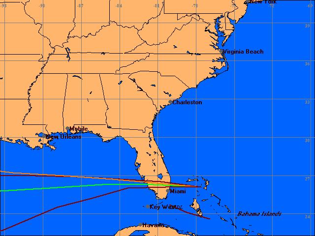
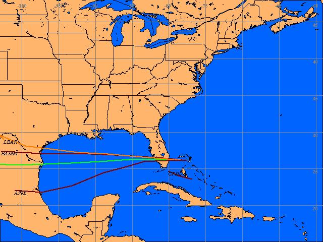
Re: New Model map with new Coords!!
PSU still snafu'd w/Blaster worm but here's the latest:
tropicals 14/0Z
GFS 13/18Z
Eta 14/0Z
Initialization points varied in part to different run times.
http://www.wrel.com/modelmap.htm
Scott
tropicals 14/0Z
GFS 13/18Z
Eta 14/0Z
Initialization points varied in part to different run times.
http://www.wrel.com/modelmap.htm
Scott
0 likes
Who is online
Users browsing this forum: Google Adsense [Bot] and 100 guests