I will be glad to have the values of the water temps in the others islands, just to compare. Thanks my carib friends
Gustywind
Moderator: S2k Moderators


Code: Select all
TJSJ 071510
RWRPR
PUERTO RICO/U.S. VIRGIN ISLANDS HOURLY WEATHER ROUNDUP
NATIONAL WEATHER SERVICE SAN JUAN PR
1100 AM AST SAT AUG 07 2010

PRZ001-004-071600-
PUERTO RICO

CITY           SKY/WX    TMP DP  RH WIND       PRES   REMARKS
SAN JUAN LMM   MOSUNNY   88  73  62 E12G18    30.00S HX  96
PONCE          MOSUNNY   91  72  52 E12       29.97  HX  98
AGUADILLA      MOSUNNY   90  73  58 NE15      30.00F HX  98
$$

PRZ006-007-071600-
U.S. VIRGIN ISLANDS

CITY           SKY/WX    TMP DP  RH WIND       PRES   REMARKS
CHARLOTTE AMA  MOSUNNY   90  73  58 E12       29.98F HX  98
CHRISTIANSTED MOSUNNY 86 73 66 E13 29.98F HX 93 cycloneye wrote:It's very warm already and is not noontime.Code: Select all
TJSJ 071510
RWRPR
PUERTO RICO/U.S. VIRGIN ISLANDS HOURLY WEATHER ROUNDUP
NATIONAL WEATHER SERVICE SAN JUAN PR
1100 AM AST SAT AUG 07 2010

PRZ001-004-071600-
PUERTO RICO

CITY           SKY/WX    TMP DP  RH WIND       PRES   REMARKS
SAN JUAN LMM   MOSUNNY   88  73  62 E12G18    30.00S HX  96
PONCE          MOSUNNY   91  72  52 E12       29.97  HX  98
AGUADILLA      MOSUNNY   90  73  58 NE15      30.00F HX  98
$$

PRZ006-007-071600-
U.S. VIRGIN ISLANDS

CITY           SKY/WX    TMP DP  RH WIND       PRES   REMARKS
CHARLOTTE AMA  MOSUNNY   90  73  58 E12       29.98F HX  98
CHRISTIANSTED  MOSUNNY   86  73  66 E13       29.98F HX  93

Gustywind wrote::uarrow:
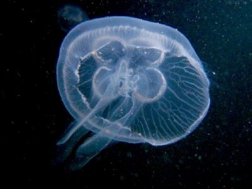
Luis, im' speaking about this because of the last two months but especially July, when the water temps are so high we have big troubles with the jellyfish! That's awfull and sometimes dramatic as numerous swimmers have suffered from injuries!
Did you observe the same in PR?
cycloneye wrote:Gustywind wrote::uarrow:
Luis, im' speaking about this because of the last two months but especially July, when the water temps are so high we have big troubles with the jellyfish! That's awfull and sometimes dramatic as numerous swimmers have suffered from injuries!
Did you observe the same in PR?
Yes,there have been many cases reported in the many beaches around PR.


BZSTORM wrote:today on the penisnula its been constant steady rain, hardly any breeze either been no hard squalls down here except for one very early morning, but majority of T wave seemed to be above us to the north of country. Will have to wait for midday news for any updates on possible flooding but as of lst nights flood forcast they anticipate rivers to rise more this evening than during the day. No thunderstorm down in our area today unlike the last 2 days. Waiting for Hydromet to update the website for flood zones around noon hopefully.
Sorry to hear everyone else is having bad time with dengue as well. We have over 320 official reported cases w/2 dead, Health dept says not epidemic as "a little above regional expected levels" , the private hospital doctors disagree and say anything over 150 is epidemic. But as there is limited number of fumigation equipment in BZ, the district where the capital is seems to be getting priority. Seems to me if you know your in for extra wet season, then mosi control should be a serious as vacinations for flu.

BZSTORM wrote:thxs cycloneye, I've been monitoring the radar and floater all day, its a wet day for sure and earlier looked like dagriga got allot of rain (important info for us in south as that near Kendal bridge area, when river over causeway we are cut off from the North. Can you do me favor and explain the what the color coding on the AVN IR dat image means because I always thought red was thunderstorms and earlier we were coved in red but no thunderstorms. thaxs in advance
cycloneye wrote:BZSTORM wrote:thxs cycloneye, I've been monitoring the radar and floater all day, its a wet day for sure and earlier looked like dagriga got allot of rain (important info for us in south as that near Kendal bridge area, when river over causeway we are cut off from the North. Can you do me favor and explain the what the color coding on the AVN IR dat image means because I always thought red was thunderstorms and earlier we were coved in red but no thunderstorms. thaxs in advance
Yes,if reds are in a convection band that means heavy thunderstorms. Maybe the convection began to weaken as it moved thru,that is my best guess.

Return to “USA & Caribbean Weather”
Users browsing this forum: Cpv17, South Texas Storms, WaveBreaking, wxman22 and 51 guests


