
ATL: EX-Tropical Depression FIVE - Discussion
Moderator: S2k Moderators
-
tolakram
- Admin

- Posts: 20186
- Age: 62
- Joined: Sun Aug 27, 2006 8:23 pm
- Location: Florence, KY (name is Mark)
Re: ATL: INVEST 94L - Discussion
You can see the spin and plenty of moisture looking at MIMIC-TPW. If something's going to happen it will show up here first, but just because some spin shows up does not mean it's going to develop. You can, however, see Colin dissipate in this loop.
Last edited by tolakram on Mon Aug 09, 2010 12:09 pm, edited 1 time in total.
0 likes
M a r k
- - - - -
Join us in chat: Storm2K Chatroom Invite. Android and IOS apps also available.
The posts in this forum are NOT official forecasts and should not be used as such. Posts are NOT endorsed by any professional institution or STORM2K.org. For official information and forecasts, please refer to NHC and NWS products.
-
Ikester
- Professional-Met

- Posts: 361
- Age: 40
- Joined: Mon Jun 21, 2010 5:00 pm
- Location: Jacksonville, FL
Re: ATL: INVEST 94L - Discussion
Our In-House model here at the station spins this up and has it paralleling the Louisiana coast.
0 likes

Re: ATL: INVEST 94L - Discussion
Ikester wrote:Our In-House model here at the station spins this up and has it paralleling the Louisiana coast.
We definitely don't need another Allison. Is this one supposed to move quickly or slowly move west?
0 likes
-
Ikester
- Professional-Met
- Posts: 361
- Age: 40
- Joined: Mon Jun 21, 2010 5:00 pm
- Location: Jacksonville, FL
Re: ATL: INVEST 94L - Discussion
I'm not overly concerned yet, but definitely has my eye. We just need the rain so badly here and that's hard to believe after such a wet July here in Houston...4th wettest on record.
0 likes
-
cycloneye

- Admin
- Posts: 149585
- Age: 69
- Joined: Thu Oct 10, 2002 10:54 am
- Location: San Juan, Puerto Rico
Re: ATL: INVEST 94L - Discussion
Code Orange 30%
TROPICAL WEATHER OUTLOOK
NWS TPC/NATIONAL HURRICANE CENTER MIAMI FL
200 PM EDT MON AUG 9 2010
FOR THE NORTH ATLANTIC...CARIBBEAN SEA AND THE GULF OF MEXICO...
A LOW PRESSURE AREA LOCATED ABOUT 900 MILES EAST-NORTHEAST OF THE
LEEWARD ISLANDS IS MOVING WEST-NORTHWESTWARD AT 10 TO 15 MPH.
ALTHOUGH SHOWER AND THUNDERSTORM ACTIVITY HAS RECENTLY WEAKENED...
ANY SIGNIFICANT ORGANIZATION OF THE THUNDERSTORMS DURING THE NEXT
COUPLE OF DAYS COULD RESULT IN THE FORMATION OF A TROPICAL CYCLONE.
THERE IS A HIGH CHANCE...70 PERCENT...OF THIS SYSTEM BECOMING A
TROPICAL CYCLONE DURING THE NEXT 48 HOURS.
A BROAD SURFACE LOW OVER THE SOUTHEASTERN GULF OF MEXICO JUST
OFFSHORE OF SOUTHWESTERN FLORIDA CONTINUES TO PRODUCE A LARGE AREA
OF DISORGANIZED SHOWERS AND THUNDERSTORMS OVER THE NORTHWESTERN
BAHAMAS ACROSS THE FLORIDA KEYS INTO THE GULF OF MEXICO. UPPER-
LEVEL WINDS ARE FORECAST TO BECOME MORE CONDUCIVE FOR DEVELOPMENT
OVER THE NEXT COUPLE OF DAYS AS THE SYSTEM MOVES TO THE WEST OR
WEST-NORTHWEST AT 5 TO 10 MPH OVER THE GULF OF MEXICO. THERE IS A
MEDIUM CHANCE...30 PERCENT...OF THIS SYSTEM BECOMING A TROPICAL OR
SUBTROPICAL CYCLONE DURING THE NEXT 48 HOURS.
ELSEWHERE...TROPICAL CYCLONE FORMATION IS NOT EXPECTED DURING THE
NEXT 48 HOURS.
$$
FORECASTER BLAKE
0 likes
Visit the Caribbean-Central America Weather Thread where you can find at first post web cams,radars
and observations from Caribbean basin members Click Here
and observations from Caribbean basin members Click Here
-
Dean4Storms
- S2K Supporter

- Posts: 6358
- Age: 63
- Joined: Sun Aug 31, 2003 1:01 pm
- Location: Miramar Bch. FL
I'd say a 30% chance is a good call right now with the apparent low now offshore and a slight broad surface rotation seen with obs and satellite.
Check the winds obs in this floater.......
http://rammb.cira.colostate.edu/ramsdis ... _floater_2
Check the winds obs in this floater.......
http://rammb.cira.colostate.edu/ramsdis ... _floater_2
0 likes

Yeah 30% seems reasonable to me as well, nothing too impressive yet but there is clearly some rotation down there and whilst its still attached to the front it seems to be ever so slowly getting stronger, but its got a way to go yet still.
0 likes
Personal Forecast Disclaimer:
The posts in this forum are NOT official forecast and should not be used as such. They are just the opinion of the poster and may or may not be backed by sound meteorological data. They are NOT endorsed by any professional institution or storm2k.org. For official information, please refer to the NHC and NWS products
The posts in this forum are NOT official forecast and should not be used as such. They are just the opinion of the poster and may or may not be backed by sound meteorological data. They are NOT endorsed by any professional institution or storm2k.org. For official information, please refer to the NHC and NWS products
-
MGC

- S2K Supporter
- Posts: 5940
- Joined: Sun Mar 23, 2003 9:05 pm
- Location: Pass Christian MS, or what is left.
Re: ATL: INVEST 94L - Discussion
94L is facing a good bit of shear thanks to the ULL over the Bahamas. I think this ULL will provide a good amount of shear over the system....currently not that bullish on development. But, thinks could change depending on the ULL movement and strength.....MGC
0 likes
-
tolakram
- Admin
- Posts: 20186
- Age: 62
- Joined: Sun Aug 27, 2006 8:23 pm
- Location: Florence, KY (name is Mark)
Re: ATL: INVEST 94L - Discussion
Convection really starting to fire (and get sheared) near the center of the low pressure area.
Loop: http://wwwghcc.msfc.nasa.gov/cgi-bin/ge ... umframes=5
Loop: http://wwwghcc.msfc.nasa.gov/cgi-bin/ge ... umframes=5
0 likes
M a r k
- - - - -
Join us in chat: Storm2K Chatroom Invite. Android and IOS apps also available.
The posts in this forum are NOT official forecasts and should not be used as such. Posts are NOT endorsed by any professional institution or STORM2K.org. For official information and forecasts, please refer to NHC and NWS products.
- - - - -
Join us in chat: Storm2K Chatroom Invite. Android and IOS apps also available.
The posts in this forum are NOT official forecasts and should not be used as such. Posts are NOT endorsed by any professional institution or STORM2K.org. For official information and forecasts, please refer to NHC and NWS products.
-
Stormcenter
- S2K Supporter
- Posts: 6689
- Joined: Wed Sep 03, 2003 11:27 am
- Location: Houston, TX
I say 40%-50% just because of the time year and where it's at. It's not like it will take much to become a TD. Anything beyond that is still highly dependent on the ULL and dry air in the GOM. In addition it's just hard to see nothing coming from this mess in the GOM. IMO
http://www.ssd.noaa.gov/goes/east/gmex/loop-avn.html
http://www.ssd.noaa.gov/goes/east/gmex/loop-avn.html
0 likes
Not sure shear is actually going to be as much as a problem as it normally is in this situation, sure it'll probably limit any major strengthening but I think this system could develop despite the shear due to its extratropical origins. Just an idea I have, could be proven wrong!
0 likes
Personal Forecast Disclaimer:
The posts in this forum are NOT official forecast and should not be used as such. They are just the opinion of the poster and may or may not be backed by sound meteorological data. They are NOT endorsed by any professional institution or storm2k.org. For official information, please refer to the NHC and NWS products
The posts in this forum are NOT official forecast and should not be used as such. They are just the opinion of the poster and may or may not be backed by sound meteorological data. They are NOT endorsed by any professional institution or storm2k.org. For official information, please refer to the NHC and NWS products
-
Aric Dunn
- Category 5

- Posts: 21238
- Age: 43
- Joined: Sun Sep 19, 2004 9:58 pm
- Location: Ready for the Chase.
- Contact:
Re:
KWT wrote:Not sure shear is actually going to be as much as a problem as it normally is in this situation, sure it'll probably limit any major strengthening but I think this system could develop despite the shear due to its extratropical origins. Just an idea I have, could be proven wrong!
exactly.. the only reason its maintaining anything is that its a non tropical area of low pressure and the shear is helping to create lift. once the shear decreases and the convection has a chance to consolidate than the transition could start.
0 likes
Note: If I make a post that is brief. Please refer back to previous posts for the analysis or reasoning. I do not re-write/qoute what my initial post said each time.
If there is nothing before... then just ask
Space & Atmospheric Physicist, Embry-Riddle Aeronautical University,
I believe the sky is falling...
If there is nothing before... then just ask
Space & Atmospheric Physicist, Embry-Riddle Aeronautical University,
I believe the sky is falling...
-
Aric Dunn
- Category 5
- Posts: 21238
- Age: 43
- Joined: Sun Sep 19, 2004 9:58 pm
- Location: Ready for the Chase.
- Contact:
Re: ATL: INVEST 94L - Discussion
Shear is very quickly decreasing and the remaining 15 to 20kts of shear over western cube northward is retreating to the SW pretty quickly.. I guess it up to the low becoming a little more defined..

0 likes
Note: If I make a post that is brief. Please refer back to previous posts for the analysis or reasoning. I do not re-write/qoute what my initial post said each time.
If there is nothing before... then just ask
Space & Atmospheric Physicist, Embry-Riddle Aeronautical University,
I believe the sky is falling...
If there is nothing before... then just ask
Space & Atmospheric Physicist, Embry-Riddle Aeronautical University,
I believe the sky is falling...
-
cycloneye
- Admin
- Posts: 149585
- Age: 69
- Joined: Thu Oct 10, 2002 10:54 am
- Location: San Juan, Puerto Rico
Re: ATL: INVEST 94L - Discussion
18z Best Track
AL, 94, 2010080918, , BEST, 0, 262N, 826W, 20, 1011, LO
ftp://ftp.tpc.ncep.noaa.gov/atcf/tcweb/ ... 010.invest
Moving slowly west.
AL, 94, 2010080918, , BEST, 0, 262N, 826W, 20, 1011, LO
ftp://ftp.tpc.ncep.noaa.gov/atcf/tcweb/ ... 010.invest
Moving slowly west.
0 likes
Visit the Caribbean-Central America Weather Thread where you can find at first post web cams,radars
and observations from Caribbean basin members Click Here
and observations from Caribbean basin members Click Here
Sort of looks like its holding steady right now Aric, but your right if the shear eases then there sure is going to be a chance for it to transtion.
Its a very 07 like development if it occurs, systems like Erin/Humberto/Lorenzo...
Its a very 07 like development if it occurs, systems like Erin/Humberto/Lorenzo...
0 likes
Personal Forecast Disclaimer:
The posts in this forum are NOT official forecast and should not be used as such. They are just the opinion of the poster and may or may not be backed by sound meteorological data. They are NOT endorsed by any professional institution or storm2k.org. For official information, please refer to the NHC and NWS products
The posts in this forum are NOT official forecast and should not be used as such. They are just the opinion of the poster and may or may not be backed by sound meteorological data. They are NOT endorsed by any professional institution or storm2k.org. For official information, please refer to the NHC and NWS products


-
Aric Dunn
- Category 5
- Posts: 21238
- Age: 43
- Joined: Sun Sep 19, 2004 9:58 pm
- Location: Ready for the Chase.
- Contact:
Re:
KWT wrote:Sort of looks like its holding steady right now Aric, but your right if the shear eases then there sure is going to be a chance for it to transtion.
Its a very 07 like development if it occurs, systems like Erin/Humberto/Lorenzo...
holding steady ?
shear 6 hours ago.. compare that with now its come down alot over the eastern gulf and the region where the low is trying to develop ..

0 likes
The ULL is seen east of the northern Bahamas, so nothing so far at the surface:
http://www.goes.noaa.gov/HURRLOOPS/huwvloop.html
http://www.goes.noaa.gov/HURRLOOPS/huwvloop.html
0 likes
Re:
Stormcenter wrote:It's funny how not much attention is being given to 94L on this board
or elsewhere. I know the models aren't making much of this and conditions
don't seem to be ideal for development. Yet we all know things change rapidly in the tropics and it is in the very warm GOM and it is August.
I share your feelings on this. I've seen so much more attention paid to an invest...even this season... that was so much farther from the US and that had even less odds of development. Maybe it's because of so many "poofs" lately, so people are hesitant to get concerned until storm watches are issued.
This shares lots of attributes to Alicia '83. http://www.nhc.noaa.gov/archive/storm_w ... elim01.gif
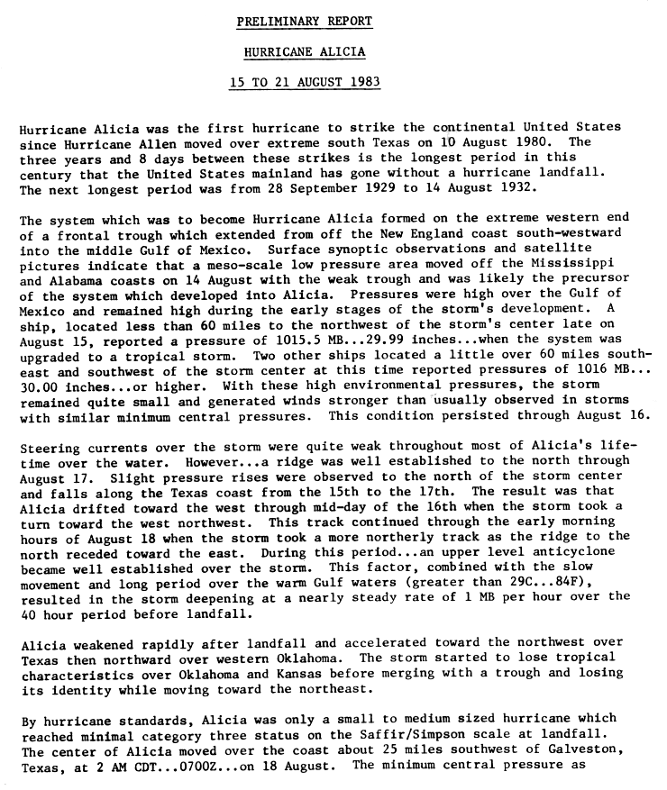
The low steering currents gave us almost 4 days to watch it...but still, when you discuss a surprise storm, many immediately think of Alicia. Still, I expect that once the transition takes place, this thread will get plenty busy.
0 likes
-
wxman57

- Moderator-Pro Met

- Posts: 23175
- Age: 68
- Joined: Sat Jun 21, 2003 8:06 pm
- Location: Houston, TX (southwest)
Re: ATL: INVEST 94L - Discussion
There's no question of a circulation center at the surface. Numerous observations in the eastern Gulf and Florida confirm this. But the LLC is broad and lacking convection so far. Good chance it becomes a TD or weak TS before landfall in SE LA on Thursday morning.

0 likes
Who is online
Users browsing this forum: No registered users and 57 guests