Moderator: S2k Moderators


Aric Dunn wrote:recon finding a very disorganized LLC multiple wind shifts.. its still very elongated and broad its going to need convection which is developing near the MLC should be pulled to any decent convection..

lebron23 wrote:WNW NOT northwest or north north west..
ronjon wrote:The MLC is becoming better defined on RAD. Interesting now that heavy convection is now north of the MLC. I would expect the LLC to become established beneath the MLC tonight and then we have a tropical cyclone. Looks to be drifting NW or N-NW now.
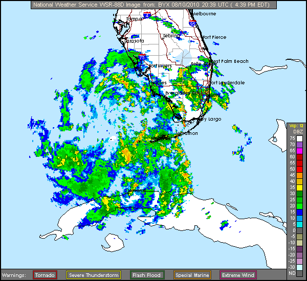
http://radar.weather.gov/radar.php?product=N0Z&rid=TBW&loop=yes
Air Force Met wrote:Aric Dunn wrote:recon finding a very disorganized LLC multiple wind shifts.. its still very elongated and broad its going to need convection which is developing near the MLC should be pulled to any decent convection..
I'm shocked they are finding a weak disorganized LLC with a pressure of 1008mb and winds 20-25 MPH.
Shocked.
StormClouds63 wrote:A mid-range TS is about the maximum this system will produce given the upper level conditions over the central GOM. Flooding could be an issue east of where the center makes landfall (e.g. Mobile, Pensacola). As long as the system doesn't "sit" over the Gulf for several days, it is very unlikely to develop into a serious wind threat, IMO. Overall structure of the system does seem to be improving on satellite, and it will almost certainly be classed as a TD within the next 12 hours. If the movement is rather slow, a TS is a good possibility just prior to landfall somewhere on the Mississippi (or Alabama coastline).
Aric Dunn wrote:Air Force Met wrote:Aric Dunn wrote:recon finding a very disorganized LLC multiple wind shifts.. its still very elongated and broad its going to need convection which is developing near the MLC should be pulled to any decent convection..
I'm shocked they are finding a weak disorganized LLC with a pressure of 1008mb and winds 20-25 MPH.
Shocked.
haha... well yeah ... lol it should consolidate with the MLC overnight

LaBreeze wrote:StormClouds63 wrote:A mid-range TS is about the maximum this system will produce given the upper level conditions over the central GOM. Flooding could be an issue east of where the center makes landfall (e.g. Mobile, Pensacola). As long as the system doesn't "sit" over the Gulf for several days, it is very unlikely to develop into a serious wind threat, IMO. Overall structure of the system does seem to be improving on satellite, and it will almost certainly be classed as a TD within the next 12 hours. If the movement is rather slow, a TS is a good possibility just prior to landfall somewhere on the Mississippi (or Alabama coastline).
How certain are we that this system is headed to make a landfall in MS or AL?
Air Force Met wrote:Aric Dunn wrote:Air Force Met wrote:
I'm shocked they are finding a weak disorganized LLC with a pressure of 1008mb and winds 20-25 MPH.
Shocked.
haha... well yeah ... lol it should consolidate with the MLC overnight
Yeah...I think we wake up tomorrow with a well consolidated TD or weak TS.
Air Force Met wrote:LaBreeze wrote:StormClouds63 wrote:A mid-range TS is about the maximum this system will produce given the upper level conditions over the central GOM. Flooding could be an issue east of where the center makes landfall (e.g. Mobile, Pensacola). As long as the system doesn't "sit" over the Gulf for several days, it is very unlikely to develop into a serious wind threat, IMO. Overall structure of the system does seem to be improving on satellite, and it will almost certainly be classed as a TD within the next 12 hours. If the movement is rather slow, a TS is a good possibility just prior to landfall somewhere on the Mississippi (or Alabama coastline).
How certain are we that this system is headed to make a landfall in MS or AL?
I don't think we are certain of that at all. Maybe Stormclouds is...and I can't speak for everyone...but I don't think anyone is certain. I think it is a Louisiana storm personally. It might get over into MS...but landfall appears to me at least to be in LA.

Users browsing this forum: No registered users and 31 guests