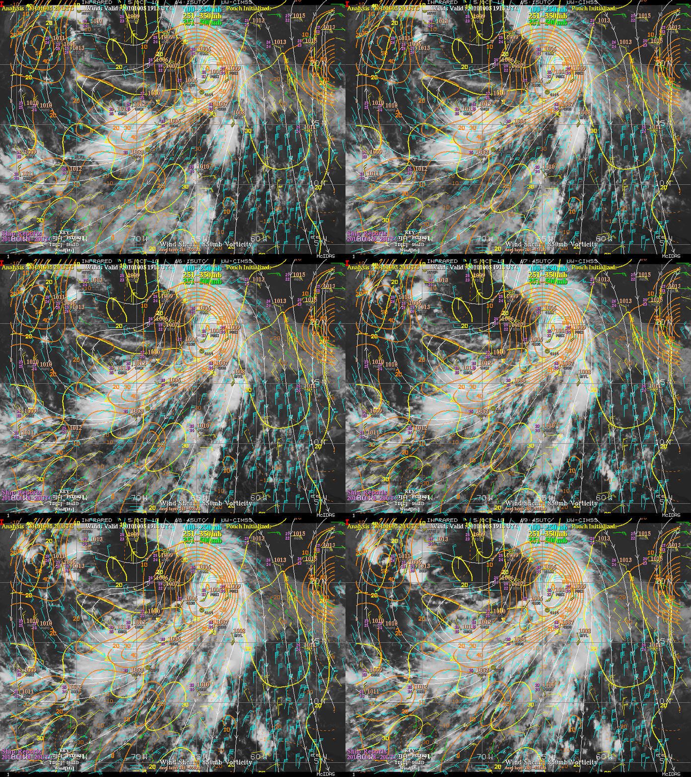
Disturbed weather in Eastern Atlantic (Is invest 95L)

This is the general tropical discussion area. Anyone can take their shot at predicting a storms path.

Moderator: S2k Moderators

Forum rules

The posts in this forum are NOT official forecasts and should not be used as such. They are just the opinion of the poster and may or may not be backed by sound meteorological data. They are NOT endorsed by any professional institution or STORM2K. For official information, please refer to products from the National Hurricane Center and National Weather Service.

Help Support Storm2K
Message
Author
User avatar
ConvergenceZone
Category 5
Category 5
Posts: 5194
Joined: Fri Jul 29, 2005 1:40 am
Location: Northern California

Re: Re:

#321 Postby ConvergenceZone » Sat Aug 14, 2010 3:29 pm

WEll I predict this one will develop and model runs will show a curve away from the islands and US --- so because of that then I expect the board to drain out quite a bit and not show too much interest.


Yea gator, that's one bad things about fish storms that I've noticed in the past. Usually on recurves, the thread is pretty dead. This board is much busier if you have a depression expected to hit the US as opposed to a Catt 3,4, or 5 going out to sea. So yea, I don't expect the board to get much busier than it is right now once it become evident that the storms will curve out to sea.....

But I would think there would be at least a couple of more storms that threaten land before the season is over...
Last edited by ConvergenceZone on Sat Aug 14, 2010 3:48 pm, edited 2 times in total.
0 likes   

User avatar
KWT
Category 5
Category 5
Posts: 31415
Joined: Tue Aug 17, 2004 11:02 am
Location: UK!!!

#322 Postby KWT » Sat Aug 14, 2010 3:29 pm

Oh I agree the 12z ECM is a shoe in recurve, just saying that the 12z is the only one that we could say for sure the system will recurve..and I think it gets further west before that occurs. Its a shame there has to be a threat to land to drum up any interest but there we go...

Its the slow brewers that keep low that need to be watched, like the system at 240hrs in the Caribbean on the ECM...though I think that won't verify...
0 likes   
Personal Forecast Disclaimer:
The posts in this forum are NOT official forecast and should not be used as such. They are just the opinion of the poster and may or may not be backed by sound meteorological data. They are NOT endorsed by any professional institution or storm2k.org. For official information, please refer to the NHC and NWS products

User avatar
South Texas Storms
Professional-Met
Professional-Met
Posts: 4226
Joined: Thu Jun 24, 2010 12:28 am
Location: Houston, TX

Re: Strong Wave PGI-30L in West Africa (Models develop it)

#323 Postby South Texas Storms » Sat Aug 14, 2010 3:31 pm

when does the bermuda high usually strengthen? september?
0 likes   

User avatar
cycloneye
Admin
Admin
Posts: 145303
Age: 68
Joined: Thu Oct 10, 2002 10:54 am
Location: San Juan, Puerto Rico

Re: Strong Wave PGI-30L in West Africa (Models develop it)

#324 Postby cycloneye » Sat Aug 14, 2010 3:33 pm

KWT, what do you think about the wave behind this one that GFS,CMC and ECMWF show? Will it also recurve or it threats the Caribbean?
0 likes   
Visit the Caribbean-Central America Weather Thread where you can find at first post web cams,radars
and observations from Caribbean basin members Click Here

User avatar
gatorcane
S2K Supporter
S2K Supporter
Posts: 23691
Age: 47
Joined: Sun Mar 13, 2005 3:54 pm
Location: Boca Raton, FL

Re: Strong Wave PGI-30L in West Africa (Models develop it)

#325 Postby gatorcane » Sat Aug 14, 2010 3:33 pm

South Texas Storms wrote:when does the bermuda high usually strengthen? september?


Well the strength varies with time. I would say the first two weeks in September is when it is typically the strongest....
0 likes   

User avatar
KWT
Category 5
Category 5
Posts: 31415
Joined: Tue Aug 17, 2004 11:02 am
Location: UK!!!

#326 Postby KWT » Sat Aug 14, 2010 3:35 pm

cycloneye, if it develops quickly enough then it will almost certainly follow this one out to sea but if it stays weak and stays south then it could miss the connection for sure...but thats for another thread I suppose!
0 likes   
Personal Forecast Disclaimer:
The posts in this forum are NOT official forecast and should not be used as such. They are just the opinion of the poster and may or may not be backed by sound meteorological data. They are NOT endorsed by any professional institution or storm2k.org. For official information, please refer to the NHC and NWS products

User avatar
alienstorm
Category 1
Category 1
Posts: 496
Joined: Tue Jul 31, 2007 1:29 pm
Location: Miami Fla western suburb

#327 Postby alienstorm » Sat Aug 14, 2010 3:48 pm

Late September and October will be the timeframe for mainland threats. Any system that forms now east of 50 will recurve.
0 likes   
Personal Forecast Disclaimer:The posts in this forum are NOT official forecast and should not be used as such. They are just the opinion of the poster and may or may not be backed by sound meteorological data. They are NOT endorsed by any professional institution or storm2k.org. For official information, please refer to the NHC and NWS products.

User avatar
cycloneye
Admin
Admin
Posts: 145303
Age: 68
Joined: Thu Oct 10, 2002 10:54 am
Location: San Juan, Puerto Rico

Re: Strong Wave PGI-30L in West Africa (Models develop it)

#328 Postby cycloneye » Sat Aug 14, 2010 3:51 pm

...but thats for another thread I suppose!


Yes, when that time comes very soon, anyone can start a thread for that one that I suppose it will be another test invest down the road. :)
0 likes   
Visit the Caribbean-Central America Weather Thread where you can find at first post web cams,radars
and observations from Caribbean basin members Click Here

User avatar
TheBurn
Category 2
Category 2
Posts: 540
Joined: Thu Jul 28, 2005 4:00 pm
Location: Rincon, PR

Re: Strong Wave PGI-30L in West Africa (Models develop it)

#329 Postby TheBurn » Sat Aug 14, 2010 3:52 pm

Image
0 likes   

User avatar
KWT
Category 5
Category 5
Posts: 31415
Joined: Tue Aug 17, 2004 11:02 am
Location: UK!!!

#330 Postby KWT » Sat Aug 14, 2010 4:08 pm

FWIW here is the weakness on the models that drags this NW in the next 24-36hrs:

http://www.wetterzentrale.de/pics/Rtavn2414.png

Note the trough WSW of Portugal.
0 likes   
Personal Forecast Disclaimer:
The posts in this forum are NOT official forecast and should not be used as such. They are just the opinion of the poster and may or may not be backed by sound meteorological data. They are NOT endorsed by any professional institution or storm2k.org. For official information, please refer to the NHC and NWS products

User avatar
CourierPR
Category 5
Category 5
Posts: 1335
Age: 71
Joined: Tue Aug 31, 2004 7:53 pm
Location: Pompano Beach, Florida

Re: Re:

#331 Postby CourierPR » Sat Aug 14, 2010 4:08 pm

WEll I predict this one will develop and model runs will show a curve away from the islands and US --- so because of that then I expect the board to drain out quite a bit and not show too much interest.

By the way if you look at the ECMWF, if it were to go out another few frames should show a recurve, as a big upper-low is digging to the NW of it.

Bermuda High looks rather weak. Here in S. FL will watch the Caribbean or SE Bahamas for any threats, but as far as I am concerned the CV systems just can't make it across with the pattern we are in, may take a couple of weeks to break it.[/quote]


Gatorcane, I remember you predicting confidently that Alex would be no stronger than a depression, I prefer to wait a little longer and see how the pattern actually sets up.
0 likes   

User avatar
chaser1
S2K Supporter
S2K Supporter
Posts: 5464
Age: 64
Joined: Sat Oct 15, 2005 5:59 pm
Location: Longwood, Fl

Re: Strong Wave PGI-30L in West Africa (Models develop it)

#332 Postby chaser1 » Sat Aug 14, 2010 4:28 pm

Hey there! Am typically posting more over at Flhurricane forum, but not nearly as active as here. Others here, I see from Weather Underground......

I strongly beleive it to be far premature to immediatley write off the next 2 or 3 waves coming off Africa during the upcoming week. In fact, the models have been consistantly trending more westward prior to today's 12Z run. In fact, upon close examination of last night's GFS 0Z run 500mb, and then comparing the same 500mb setup from today's GFS 12Z run, there is absolutly no way do I believe that the wave in question, will practically drift or limply move Westward at less than 10 knots, given it's position just under the southeast corner of a 594 ridge to its north and west. I could well be wrong, however many factors here are at play. Timing and speed of motion not the least of them, prior to even mentioning the GFS typical overplay of mid latitude troughs.

Even if such a system were to initiate off the African Coast as far north as 15-18N, short of an obvious trough, climatology would certainly indicate such a new surge to push a system westward at a decent clip, if not even WSW to begin with. Having faith in most of the models as I do, I think it prudent to sit back and look at longer trends, than any one single model run. It will not surprise me at all, for the 0Z run tonight to start to lean more south and west again. If and when I see mid level and upper air charts being fairly consistent, and then approaching 72 hours from verification - only then can I "almost" assume a foregone conclusion.
0 likes   
Andy D

(For official information, please refer to the NHC and NWS products.)

User avatar
Ivanhater
Storm2k Moderator
Storm2k Moderator
Posts: 11161
Age: 38
Joined: Fri Jul 01, 2005 8:25 am
Location: Pensacola

Re: Strong Wave PGI-30L in West Africa (Models develop it)

#333 Postby Ivanhater » Sat Aug 14, 2010 4:31 pm

Euro Ensemble hot off the presses

Shows further south...longer range has it sitting in the Bahamas at 360 hours.

Here is the Ensemble at 240

Image
0 likes   
Michael

User avatar
KWT
Category 5
Category 5
Posts: 31415
Joined: Tue Aug 17, 2004 11:02 am
Location: UK!!!

#334 Postby KWT » Sat Aug 14, 2010 4:35 pm

Thanks Ivanhater...but as I said on easternueswx, I suspect most of those ensemble members don't have a good picture of the strength of this wave...and thats going to be a key factor, if they are too weak then the ensembles will be a good deal toofar south...its hardly surprising the stronger runs in the early part of the run are further north...
0 likes   
Personal Forecast Disclaimer:
The posts in this forum are NOT official forecast and should not be used as such. They are just the opinion of the poster and may or may not be backed by sound meteorological data. They are NOT endorsed by any professional institution or storm2k.org. For official information, please refer to the NHC and NWS products

User avatar
Ivanhater
Storm2k Moderator
Storm2k Moderator
Posts: 11161
Age: 38
Joined: Fri Jul 01, 2005 8:25 am
Location: Pensacola

Re: Strong Wave PGI-30L in West Africa (Models develop it)

#335 Postby Ivanhater » Sat Aug 14, 2010 4:44 pm

This is our wave on the eastern side over Africa

Image
0 likes   
Michael

Hugo1989
Tropical Storm
Tropical Storm
Posts: 147
Joined: Mon Jun 14, 2010 9:09 am

Re: Strong Wave PGI-30L in West Africa (Models develop it)

#336 Postby Hugo1989 » Sat Aug 14, 2010 5:05 pm

What should we expect? closest to the Leeward Islands or the East Coast of the USA?
0 likes   

User avatar
KWT
Category 5
Category 5
Posts: 31415
Joined: Tue Aug 17, 2004 11:02 am
Location: UK!!!

#337 Postby KWT » Sat Aug 14, 2010 5:09 pm

Quite a strong wave and looking like its heading off to the WNW right now for sure.

18z GFS coming out now, lets see what it does now...
0 likes   
Personal Forecast Disclaimer:
The posts in this forum are NOT official forecast and should not be used as such. They are just the opinion of the poster and may or may not be backed by sound meteorological data. They are NOT endorsed by any professional institution or storm2k.org. For official information, please refer to the NHC and NWS products

Hugo1989
Tropical Storm
Tropical Storm
Posts: 147
Joined: Mon Jun 14, 2010 9:09 am

Re:

#338 Postby Hugo1989 » Sat Aug 14, 2010 5:15 pm

KWT wrote:Quite a strong wave and looking like its heading off to the WNW right now for sure.

18z GFS coming out now, lets see what it does now...


But you think will come out of africa near 18N as assumed in the model?
0 likes   

User avatar
KWT
Category 5
Category 5
Posts: 31415
Joined: Tue Aug 17, 2004 11:02 am
Location: UK!!!

#339 Postby KWT » Sat Aug 14, 2010 5:19 pm

Maybe not quite that far north but I do think it gains decent latitude, but it may well dip a little in latitude between say 25-40W.

GFS is a little more to the SW on this run so far but nothing too different just yet, maybe a little slower at strengthening.
0 likes   
Personal Forecast Disclaimer:
The posts in this forum are NOT official forecast and should not be used as such. They are just the opinion of the poster and may or may not be backed by sound meteorological data. They are NOT endorsed by any professional institution or storm2k.org. For official information, please refer to the NHC and NWS products

User avatar
Vortex
S2K Supporter
S2K Supporter
Posts: 4644
Age: 53
Joined: Fri Aug 01, 2003 9:34 pm
Location: Hilton Head, SC

#340 Postby Vortex » Sat Aug 14, 2010 5:26 pm

Ivanhater, Are you able to post the euro ensemble chart at 360?
0 likes   


Return to “Talkin' Tropics”

Who is online

Users browsing this forum: Google Adsense [Bot], jgh, southmdwatcher, USTropics and 48 guests