
southerngale wrote:wxman57 wrote:Here's an animation I made of the 12Z GFS positions. Isobars are plotted every 0.25 millibar to give better resolution. Valid times are at the bottom of the animation. I'll just post a link to the animation, as it's about 1MB in size.
http://myweb.cableone.net/nolasue/GFSloop.gif
Interesting... thanks. It's so hard to tell where the center goes from the maps, at least for me. Sure looks to meander around a little... even taking a tiny dip back into the GOM in SW LA. lol
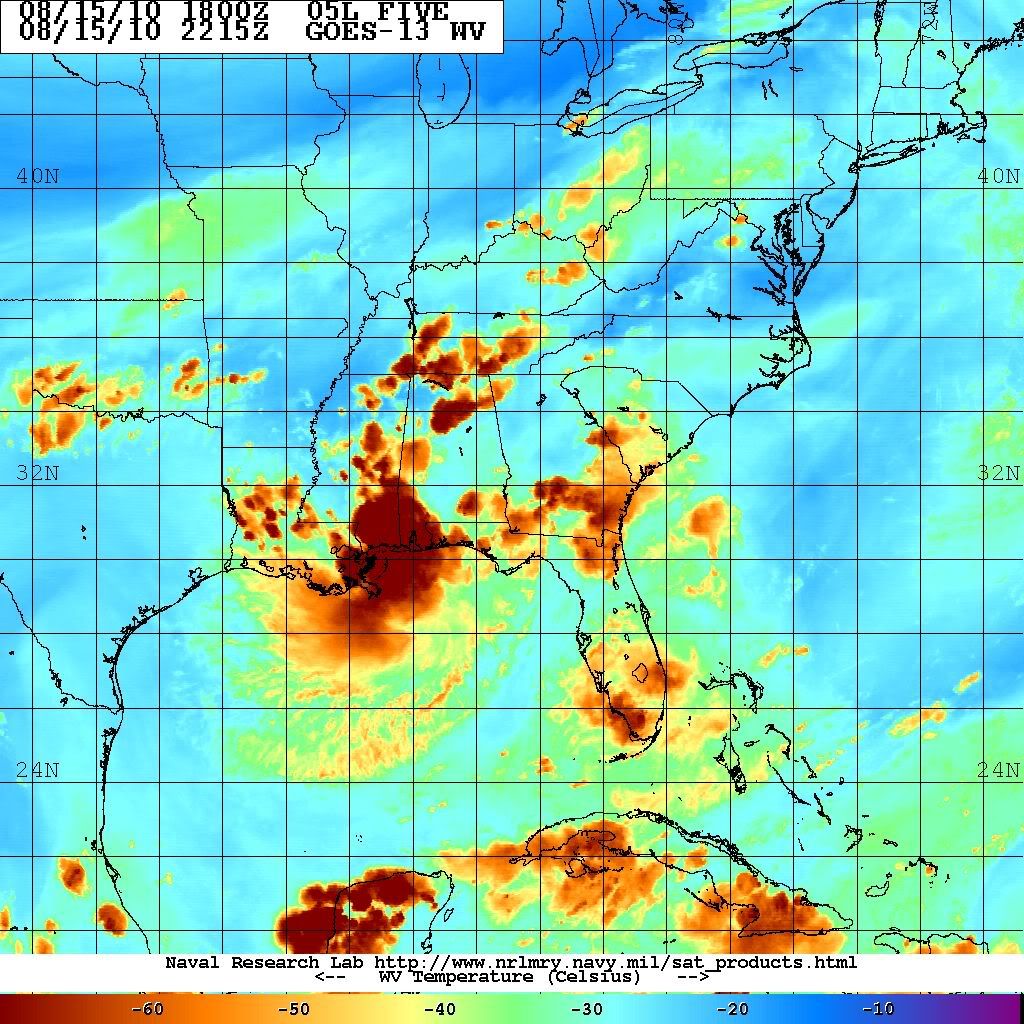
That has it moving offshore right over my house just east of Destin, looks like it will be a good 70 miles further east from the radar trends if the surface low is moving in tandem with the radar circulation.


 my Cowboys


