I fear that I sense another dud; no reasoning just a hunch.
The posts in this forum are NOT official forecast and should not be used as such. They are just the opinion of the poster and may or may not be backed by sound meteorological data. They are NOT endorsed by any professional institution or storm2k.org. For official information, please refer to the NHC and NWS products.
ATL: MATTHEW - Ex-Tropical Storm - Discussion
Moderator: S2k Moderators
-
ColinDelia

- S2K Supporter

- Posts: 918
- Joined: Mon Aug 29, 2005 5:52 am
- Location: The Beach, FL
Re: ATL: INVEST 95L - Discussion
Even though elongated, there is now an area of 50 units of 850 mb vorticity that is 4 square degrees. According to the vorticity maps there is improved circulation extending from 850-500 mb now. This wasn't true even just 15 hours ago.
0 likes


Re: ATL: INVEST 95L - Discussion
Latest SCAT seems to show rotation may not have made it quite to the surface yet.
I ran a couple HYSPLIT trajectories.
One for a parcel to the NE and another for a parcel to the NW of the LLC.
Both are showing no ascent yet with no convergence into the LLC.
Something is needed to kick the PV to the surface.
BTW, the TUTT to the NE seems to be slowly dissipating and the TUTT to the NW is moving away to the west.
http://cimss.ssec.wisc.edu/tropic2/pred ... rod=vor200
http://www.goes.noaa.gov/HURRLOOPS/huwvloop.html
It looks like the anti-cyclone is displaced NW of the LLC.
However, deep convection is more centered over the LLC.
Perhaps solar heating of the cirrus today could align the anti-cyclone more over the LLC and help kick the PV to the surface.
Maybe see an improvement later this afternoon.
At that time, could also see more convection fire off the coast of South America since air is unstable which could help to warm the core.
0 likes
-
tolakram
- Admin

- Posts: 20186
- Age: 62
- Joined: Sun Aug 27, 2006 8:23 pm
- Location: Florence, KY (name is Mark)
Re: ATL: INVEST 95L - Discussion
I am doubting development anytime soon, if at all. MIMIC-TPW shows a flattening of the circulation and dry air moving in on top of it. Never say never, of course, but it appears the graveyard is living up to its name.
0 likes
M a r k
- - - - -
Join us in chat: Storm2K Chatroom Invite. Android and IOS apps also available.
The posts in this forum are NOT official forecasts and should not be used as such. Posts are NOT endorsed by any professional institution or STORM2K.org. For official information and forecasts, please refer to NHC and NWS products.
-
HURRICANELONNY
- Category 5

- Posts: 1392
- Joined: Wed May 07, 2003 6:48 am
- Location: HOLLYWOOD.FL
-
cycloneye

- Admin
- Posts: 149585
- Age: 69
- Joined: Thu Oct 10, 2002 10:54 am
- Location: San Juan, Puerto Rico
Re: ATL: INVEST 95L - Discussion
Up to 60%
TROPICAL WEATHER OUTLOOK
NWS TPC/NATIONAL HURRICANE CENTER MIAMI FL
800 AM EDT WED SEP 22 2010
FOR THE NORTH ATLANTIC...CARIBBEAN SEA AND THE GULF OF MEXICO...
THE NATIONAL HURRICANE CENTER IS ISSUING ADVISORIES ON TROPICAL
STORM LISA...LOCATED ABOUT 450 MILES WEST-NORTHWEST OF THE CAPE
VERDE ISLANDS.
SURFACE OBSERVATIONS...SATELLITE IMAGES...AND RADAR DATA FROM
CURACAO INDICATE THAT AN AREA OF LOW PRESSURE HAS FORMED OVER THE
SOUTH-CENTRAL CARIBBEAN SEA. THIS SYSTEM HAS THE POTENTIAL TO
BECOME A TROPICAL DEPRESSION LATER TODAY OR TOMORROW AS IT MOVES
WESTWARD AT 15 MPH TOWARD THE WESTERN CARIBBEAN. THERE IS A HIGH
CHANCE...60 PERCENT...OF THIS SYSTEM BECOMING A TROPICAL
CYCLONE DURING THE NEXT 48 HOURS. REGARDLESS OF ADDITIONAL
DEVELOPMENT...SQUALLS ARE LIKELY TO OCCUR OVER THE NETHERLANDS
ANTILLES...AND THE NORTHERN COASTS OF WESTERN VENEZUELA AND
COLOMBIA TODAY. THIS SYSTEM ALSO HAS THE POTENTIAL TO PRODUCE
HEAVY RAINS OVER PORTIONS OF CENTRAL AMERICA IN A COUPLE DAYS.
ELSEWHERE...TROPICAL CYCLONE FORMATION IS NOT EXPECTED DURING THE
NEXT 48 HOURS.
$$
FORECASTER AVILA/BERG
0 likes
Visit the Caribbean-Central America Weather Thread where you can find at first post web cams,radars
and observations from Caribbean basin members Click Here
and observations from Caribbean basin members Click Here
-
jlauderdal
- S2K Supporter
- Posts: 7240
- Joined: Wed May 19, 2004 5:46 am
- Location: NE Fort Lauderdale
- Contact:
Re: ATL: INVEST 95L - Discussion
tolakram wrote:I am doubting development anytime soon, if at all. MIMIC-TPW shows a flattening of the circulation and dry air moving in on top of it. Never say never, of course, but it appears the graveyard is living up to its name.
similar situation to Karl, the SE carib is a lousy place to get started, when it moves away it will have a better shot thus we see an increase to 60% because as each minute passes it gets closer to a more favorable area, we should be able to crank out a good 50 pages of frustrating posts as this thing moves away from the SE carib, hows that SHIPS forecaast from yesterday looking, 120 knots in 5 days...of course we all knew better, right?
0 likes

NWS Miami:
MEANWHILE...AN AREA OF DISTURBED WEATHER AND ASSOCIATED MOISTURE
TO THE SOUTH OF HISPANIOLA IS FORECAST TO CONTINUE TO MOVE
WESTWARD OVER THE NEXT SEVERAL DAYS. THE MAIN ENERGY IS FORECAST
TO REMAIN TO THE SOUTH OF THE REGION...BUT MASS AND MOISTURE
CONVERGENCE AHEAD OF AND TO THE NORTH OF THIS FEATURE WILL MOVE
WESTWARD ACROSS THE CENTRAL BAHAMAS TODAY AND APPROACH THE REGION
TONIGHT AND IS THEN FORECAST TO PASS ACROSS THE REGION ON THURSDAY
WITH MOISTURE FORECAST TO LINGER ACROSS THE REGION FRIDAY AND
LIKELY THROUGH THE WEEKEND.
0 likes

Re: ATL: INVEST 95L - Discussion
Last hour surface readings at the ABC islands
29.83 at both CUR and BON but AUA down to 29.80
29.83 at both CUR and BON but AUA down to 29.80
0 likes

-
jlauderdal
- S2K Supporter
- Posts: 7240
- Joined: Wed May 19, 2004 5:46 am
- Location: NE Fort Lauderdale
- Contact:
Re:
Vortex wrote:Looking at the latest VIS coming in...This is ready for take-off in about 24 hours...Large envelope with this...Far NW side of large ciculation will send squally weather into SFL later Thursday
whats the NAM say?
0 likes
-
plasticup
Re: ATL: INVEST 95L - Discussion
I don't see this happening without more latitude. Right now, even if it did develop, we'd be talking about a minor tropical storm wetting Belize.
0 likes
-
Evil Jeremy

- S2K Supporter
- Posts: 5463
- Age: 32
- Joined: Mon Apr 10, 2006 2:10 pm
- Location: Los Angeles, CA
Re: ATL: INVEST 95L - Discussion
Wow. I have been offline since Saturday night and this popped up. What kind of threat could SFL be facing from this, and if any, when would it be?
0 likes
Frances 04 / Jeanne 04 / Katrina 05 / Wilma 05 / Fay 08 / Debby 12 / Andrea 13 / Colin 16 / Hermine 16 / Matthew 16 / Irma 17
I can see the "ABC" circulation mentioned in the TWO and it appears to be moving at 260 or 265, so it's going to be just offshore the northern coast of South America for the next day or two:
http://www.ssd.noaa.gov/goes/flt/t3/flash-vis.html
that far south (and since we're still in September), it's reasonable to think that it'll continue to move along with the easteriles into Central America...
Frank
http://www.ssd.noaa.gov/goes/flt/t3/flash-vis.html
that far south (and since we're still in September), it's reasonable to think that it'll continue to move along with the easteriles into Central America...
Frank
0 likes
-
jlauderdal
- S2K Supporter
- Posts: 7240
- Joined: Wed May 19, 2004 5:46 am
- Location: NE Fort Lauderdale
- Contact:
Re: ATL: INVEST 95L - Discussion
the gfs was going crazy yesterday with lows, wouldnt it be something if 95 gets to the the NW carib and another low does indeed form where 95 started, be interesting to see that interaction especially if 95 were to get deep say below 980
0 likes
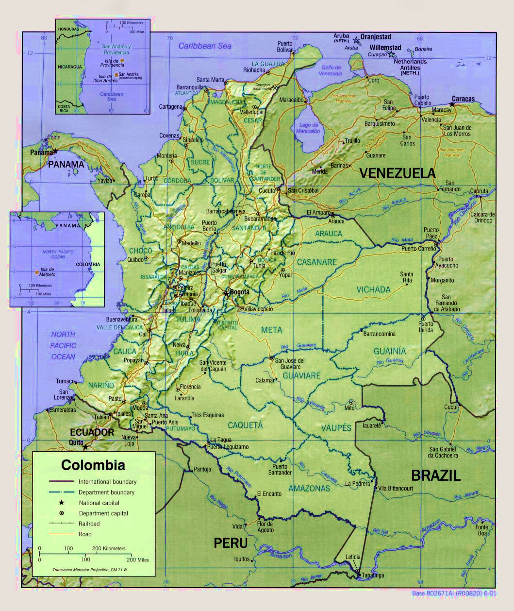
...it also appears that it'll make "landfall", so to speak, over the La Guajira province/peninusla, so the low has formed a bit south of what some thought yesterday, and that's critical per it's future movement:
http://upload.wikimedia.org/wikipedia/c ... 2001-2.png
http://upload.wikimedia.org/wikipedia/c ... 2001-2.png
0 likes

Who is online
Users browsing this forum: No registered users and 68 guests