ATL: MATTHEW - Ex-Tropical Storm - Discussion

Moderator: S2k Moderators

Message
Author
jlauderdal
S2K Supporter
S2K Supporter
Posts: 7182
Joined: Wed May 19, 2004 5:46 am
Location: NE Fort Lauderdale
Contact:

Re:

#261 Postby jlauderdal » Wed Sep 22, 2010 12:36 pm

KWT wrote:Yeah its still a little too far east to really make the most of it but the conditions are getting there...

For those who argue it should be dropped even below 30%...look at how terrible Karl looked even 24-36hrs before it got upgraded...


those that argue for 30% are living in the here and now and not for the next 48hours which is the time period, furthermore we know PREDICT found some winds that would favor development of a TD sooner rather than later
0 likes   

Brent
S2K Supporter
S2K Supporter
Posts: 38088
Age: 36
Joined: Sun May 16, 2004 10:30 pm
Location: Tulsa Oklahoma
Contact:

Re: ATL: INVEST 95L - Discussion

#262 Postby Brent » Wed Sep 22, 2010 12:38 pm

2pm TWO:

AN AREA OF LOW PRESSURE LOCATED OVER THE SOUTH-CENTRAL CARIBBEAN SEA
IS PRODUCING A LARGE BUT DISORGANIZED AREA OF SHOWERS AND
THUNDERSTORMS. THERE IS POTENTIAL FOR THIS SYSTEM TO BECOME A
TROPICAL DEPRESSION DURING THE NEXT DAY OR TWO AS IT MOVES WESTWARD
AT 15 MPH TOWARD THE WESTERN CARIBBEAN. THERE IS A HIGH
CHANCE...60 PERCENT...OF THIS SYSTEM BECOMING A TROPICAL CYCLONE
DURING THE NEXT 48 HOURS. REGARDLESS OF ADDITIONAL DEVELOPMENT...
SHOWERS AND THUNDERSTORMS ARE LIKELY TO CONTINUE OVER THE
NETHERLANDS ANTILLES...AND THE NORTHERN COASTS OF WESTERN VENEZUELA
AND COLOMBIA THIS AFTERNOON. THIS SYSTEM ALSO HAS THE POTENTIAL TO
PRODUCE HEAVY RAINS OVER PORTIONS OF CENTRAL AMERICA IN A COUPLE
DAYS.
0 likes   
#neversummer

User avatar
btangy
Professional-Met
Professional-Met
Posts: 758
Joined: Fri Sep 19, 2003 11:06 pm
Location: Boulder, CO
Contact:

Re:

#263 Postby btangy » Wed Sep 22, 2010 12:41 pm

artist wrote:btangy- is there anywhere we can access that data as it comes in?


No, it's all internal right now. All I can do is report to you what I see coming in to my screen as it's processed. However, you should be able to see the flight tracks at http://rtmm.nsstc.nasa.gov/current_missions.html. Click on "RTMM Classic for GRIP" as long as you have Google Earth, then in the menu select Aircraft --> DC8 Flight Track or GV Flight Track --> Complete. You can also overlay satellite imagery. It should update automatically.
0 likes   

jlauderdal
S2K Supporter
S2K Supporter
Posts: 7182
Joined: Wed May 19, 2004 5:46 am
Location: NE Fort Lauderdale
Contact:

Re: Re:

#264 Postby jlauderdal » Wed Sep 22, 2010 12:47 pm

jlauderdal wrote:
KWT wrote:Yeah its still a little too far east to really make the most of it but the conditions are getting there...

For those who argue it should be dropped even below 30%...look at how terrible Karl looked even 24-36hrs before it got upgraded...


those that argue for 30% are living in the here and now and not for the next 48hours which is the time period, furthermore we know PREDICT found some winds that would favor development of a TD sooner rather than later


so much for 30, its now at 60 which makes perfect sense as conditions gradually improve over time, probably hold at 60 next update then go up from there as this thing gets into more favorable area
0 likes   

User avatar
ronjon
Category 5
Category 5
Posts: 4822
Joined: Fri Aug 19, 2005 5:17 pm
Location: Hernando Beach, FL

Re: ATL: INVEST 95L - Discussion

#265 Postby ronjon » Wed Sep 22, 2010 1:13 pm

NWS Tampa Bay AFD:

.LONG TERM (FRIDAY NIGHT-WEDNESDAY)...
A FAIRLY CONSISTENT SYNOPTIC PATTERN WILL BE IN PLACE FOR THE
BEGINNING OF LONG TERM. BROAD MID LEVEL RIDGING WILL REMAIN
STRETCHED OVER THE SOUTHERN U.S. THROUGH THE MAJORITY OF THE
WEEKEND BEFORE BREAKING DOWN AS A RATHER STRONG DEVELOPING LOW
DIGS FROM CANADA TOWARDS THE SE. THE FIRST BIG CONCERN IS IF THIS
LOW WILL HAVE AN IMPACT OVER THE REGION. CURRENTLY...THE ECMWF AND
GFS WANT TO PUSH A TROPICAL SYSTEM NORTHWARD FROM THE CARRIBEAN
HELPING TO KEEP THE EFFECTS OF THE OF THE MID LATITUDE SYSTEM
NORTH OF THE STATE. NEXT CONCERN IS THE FORMATION OF THE TROPICAL
SYSTEM AND THE NORTHWARD PROPAGATION TOWARDS THE STATE. ECMWF IS
MUCH QUICKER THAN GFS WHICH WOULD RESULT IN PUSHING EXCESS
MOISTURE INTO THE AREA BEGINNING TUES. REGARDLESS...SINCE THESE
FEATURES AND THEIR IMPACTS ARE IN THE TAIL-END OF THE MODEL
PACKAGES AND THE LONG TERM FORECAST...WILL NOT BITE ON THE
SOLUTIONS UNTIL THE SYSTEMS ACTUALLY BEGIN TO ORGANIZE AND MODELS
BECOME MUCH MORE CONSISTENT.
0 likes   

User avatar
HURAKAN
Professional-Met
Professional-Met
Posts: 46086
Age: 38
Joined: Thu May 20, 2004 4:34 pm
Location: Key West, FL
Contact:

#266 Postby HURAKAN » Wed Sep 22, 2010 1:17 pm

Image

Latest
0 likes   

User avatar
HURAKAN
Professional-Met
Professional-Met
Posts: 46086
Age: 38
Joined: Thu May 20, 2004 4:34 pm
Location: Key West, FL
Contact:

#267 Postby HURAKAN » Wed Sep 22, 2010 1:23 pm

Image

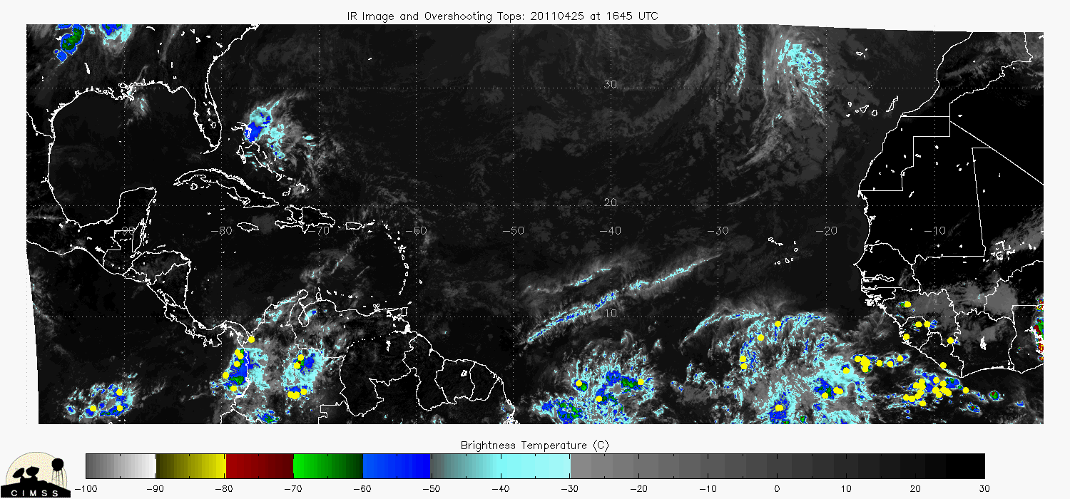
Overshooting tops
0 likes   

User avatar
HURAKAN
Professional-Met
Professional-Met
Posts: 46086
Age: 38
Joined: Thu May 20, 2004 4:34 pm
Location: Key West, FL
Contact:

#268 Postby HURAKAN » Wed Sep 22, 2010 1:24 pm

Image

Latest 72 hours
0 likes   

User avatar
HURAKAN
Professional-Met
Professional-Met
Posts: 46086
Age: 38
Joined: Thu May 20, 2004 4:34 pm
Location: Key West, FL
Contact:

#269 Postby HURAKAN » Wed Sep 22, 2010 1:31 pm

Image

850 mb vorticity has improved significantly
0 likes   

User avatar
HURAKAN
Professional-Met
Professional-Met
Posts: 46086
Age: 38
Joined: Thu May 20, 2004 4:34 pm
Location: Key West, FL
Contact:

#270 Postby HURAKAN » Wed Sep 22, 2010 1:32 pm

Image

3 hours ago
0 likes   

User avatar
HURAKAN
Professional-Met
Professional-Met
Posts: 46086
Age: 38
Joined: Thu May 20, 2004 4:34 pm
Location: Key West, FL
Contact:

#271 Postby HURAKAN » Wed Sep 22, 2010 1:36 pm

AL, 95, 2010092218, , BEST, 0, 126N, 713W, 25, 1008, DB

1 mb lower
0 likes   

User avatar
Weatherboy1
Category 5
Category 5
Posts: 1189
Age: 49
Joined: Mon Jul 05, 2004 1:50 pm
Location: Jupiter/Sarasota, FL

#272 Postby Weatherboy1 » Wed Sep 22, 2010 1:37 pm

HPC maps are updated for Wednesday. Here's the Day 7 "best guess" for where 95L might be at the time. If you scroll through the maps, you see that they're forecasting a front diving all the way into the Gulf, which seems to me like it's all but inevitable this thing gets pulled N. Question is if it's pulled due N, NNE, NE, etc. Only way out otherwise, in my opinion, is if it just barrels due W and plows directly into Central America fairly quickly.

http://www.hpc.ncep.noaa.gov/medr/nav_c ... fcolor=ter
0 likes   

User avatar
cycloneye
Admin
Admin
Posts: 145299
Age: 68
Joined: Thu Oct 10, 2002 10:54 am
Location: San Juan, Puerto Rico

Re: ATL: INVEST 95L - Discussion

#273 Postby cycloneye » Wed Sep 22, 2010 1:42 pm

If is going to develop, it has to slow down as is in a sprint.

LATCUR = 12.6N LONCUR = 71.3W DIRCUR = 275DEG SPDCUR =20KT
0 likes   
Visit the Caribbean-Central America Weather Thread where you can find at first post web cams,radars
and observations from Caribbean basin members Click Here

User avatar
ColinDelia
S2K Supporter
S2K Supporter
Posts: 918
Joined: Mon Aug 29, 2005 5:52 am
Location: The Beach, FL

Re: ATL: INVEST 95L - Discussion

#274 Postby ColinDelia » Wed Sep 22, 2010 1:43 pm

5KOVERLIBOR wrote:
Very true, but could we surmise that the ramp up in activity coincided with the significantly improving instability, even though it only seemed to achieve seasonal norm?


I would think so.

Incidentally, the SHIPS model already includes a factor for instability; Theta E. If you look at the output for this invest you'll notice it in there.
http://ftp.nhc.noaa.gov/atcf/stext/1009 ... _ships.txt

According to SHIPS this is a negative factor in the next 5 days but not a large factor compared to the other ones.

Not that SHIPS is applicable for a non-TC but just in general it doesn't have anywhere near the correlation with intensity that SSTs and shear do.

Maybe it's different as far as cyclogenesis? I don't know but maybe that will kick off some research.
0 likes   

User avatar
wxman57
Moderator-Pro Met
Moderator-Pro Met
Posts: 22978
Age: 67
Joined: Sat Jun 21, 2003 8:06 pm
Location: Houston, TX (southwest)

Re:

#275 Postby wxman57 » Wed Sep 22, 2010 1:45 pm

HURAKAN wrote:AL, 95, 2010092218, , BEST, 0, 126N, 713W, 25, 1008, DB

1 mb lower


That location is almost on the coast of Venezuela.
0 likes   

User avatar
HURAKAN
Professional-Met
Professional-Met
Posts: 46086
Age: 38
Joined: Thu May 20, 2004 4:34 pm
Location: Key West, FL
Contact:

Re: Re:

#276 Postby HURAKAN » Wed Sep 22, 2010 1:47 pm

wxman57 wrote:
HURAKAN wrote:AL, 95, 2010092218, , BEST, 0, 126N, 713W, 25, 1008, DB

1 mb lower


That location is almost on the coast of Venezuela.


Image

but moving away
0 likes   

User avatar
HURAKAN
Professional-Met
Professional-Met
Posts: 46086
Age: 38
Joined: Thu May 20, 2004 4:34 pm
Location: Key West, FL
Contact:

#277 Postby HURAKAN » Wed Sep 22, 2010 1:51 pm

Image

closer look to the vorticity
0 likes   

tolakram
Admin
Admin
Posts: 20009
Age: 62
Joined: Sun Aug 27, 2006 8:23 pm
Location: Florence, KY (name is Mark)

Re: ATL: INVEST 95L - Discussion

#278 Postby tolakram » Wed Sep 22, 2010 1:53 pm

It can't get any inflow, so in my opinion you we see some arcing storms above the low pressure but nothing below and it all goes poof tonight again. Maybe tomorrow when it moves away from land we'll get some additional development.
0 likes   
M a r k
- - - - -
Join us in chat: Storm2K Chatroom Invite. Android and IOS apps also available.

The posts in this forum are NOT official forecasts and should not be used as such. Posts are NOT endorsed by any professional institution or STORM2K.org. For official information and forecasts, please refer to NHC and NWS products.

User avatar
GCANE
S2K Supporter
S2K Supporter
Posts: 11496
Joined: Mon Oct 22, 2007 8:03 am

Re: ATL: INVEST 95L - Discussion

#279 Postby GCANE » Wed Sep 22, 2010 1:54 pm

Anti-cyclone is getting closer too.


Image
0 likes   

User avatar
SoupBone
Category 5
Category 5
Posts: 3111
Joined: Tue Sep 20, 2005 5:24 pm

Re: ATL: INVEST 95L - Discussion

#280 Postby SoupBone » Wed Sep 22, 2010 1:58 pm

cycloneye wrote:If is going to develop, it has to slow down as is in a sprint.

LATCUR = 12.6N LONCUR = 71.3W DIRCUR = 275DEG SPDCUR =20KT


It went from 12 knots this morning to 20knots?!?! Crazy...
0 likes   


Return to “2010”

Who is online

Users browsing this forum: No registered users and 0 guests