tgenius wrote:HURAKAN wrote: 28/1745 UTC 20.8N 83.2W ST2.5 16L
tropical storm intensity and subtropical looking
Probably Nicole @ 5pm Sandy... get ready for the news barrage tonight!
I think the NHC will go by what RECON is finding.
Moderator: S2k Moderators


tgenius wrote:HURAKAN wrote: 28/1745 UTC 20.8N 83.2W ST2.5 16L
tropical storm intensity and subtropical looking
Probably Nicole @ 5pm Sandy... get ready for the news barrage tonight!

tgenius wrote:Now my question is.. what is considered the "real" storm.. IR or visible? I was always under the impression that visable overruled IR?


HURAKAN wrote: 28/1745 UTC 20.8N 83.2W ST2.5 16L
tropical storm intensity and subtropical looking


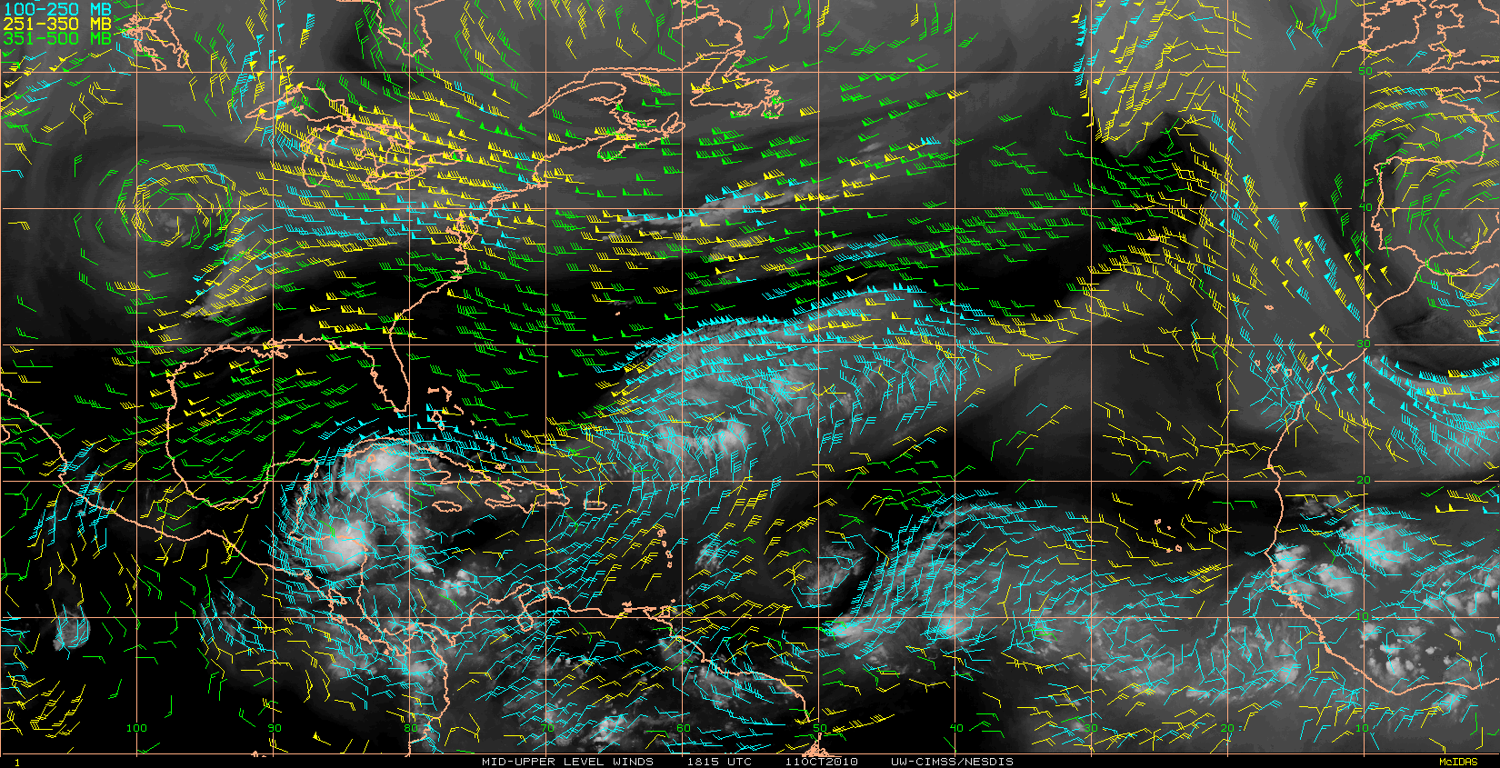
GCANE wrote:Big jump in 850mb vorticity intensity.
http://cimss.ssec.wisc.edu/tropic2/pred ... rod=vor850
Blown Away wrote:HURAKAN wrote: 28/1745 UTC 20.8N 83.2W ST2.5 16L
tropical storm intensity and subtropical looking
This position is .3 west and .2 south of the previous spot?
pressures here have tanked since noonronjon wrote:The rain moving NW over the FL peninsula is moisture being pumped up from the TD and colliding with the decaying frontal boundary. If it was purely frontal, it would be moving from SW to NE - instead it's moving from SE to NW as its entrained within the broad circulation of the cyclone. PW's are near record high values close to 3 inches. Add some daytime heating you have some heavy storms.


GCANE wrote:Anti-cyclone has situated itself directly over the center.
I think a good ramp up is in store until it makes landfall.
hurricanefloyd5 wrote:MHurricanes wrote:Aric Dunn wrote:Also here in central florida there are already reports of 5 to almost 7 inches of rain in brevard county..
Aric,
Here in Altamonte Springs (just north of Orlando), the sky has turned pitch black and the street lights have turned on. Very ominous looking.
your right cause I live there too wow
chris_fit wrote:GCANE wrote:Big jump in 850mb vorticity intensity.
http://cimss.ssec.wisc.edu/tropic2/pred ... rod=vor850
What exactly is vorticity and what does it do?

gatorcane wrote:GCANE wrote:Anti-cyclone has situated itself directly over the center.
I think a good ramp up is in store until it makes landfall.
Wow, how much do you think?


gatorcane wrote:GCANE wrote:Anti-cyclone has situated itself directly over the center.
I think a good ramp up is in store until it makes landfall.
Wow, how much do you think?
gatorcane wrote:GCANE wrote:Anti-cyclone has situated itself directly over the center.
I think a good ramp up is in store until it makes landfall.
Wow, how much do you think?

Don't you think that the 'little' land mass called Cuba might have something to say about that?GCANE wrote:Anti-cyclone has situated itself directly over the center.
I think a good ramp up is in store until it makes landfall.
Aric Dunn wrote:gatorcane wrote:GCANE wrote:Anti-cyclone has situated itself directly over the center.
I think a good ramp up is in store until it makes landfall.
Wow, how much do you think?
well the upper environment could stay marginal .. but the little bit of dry air trying to make its way to the NW carrib may hold it in check ... but its having a hard to making all the way.. so we could still see a very strong TS per the GFDL or even minimal hurricane if it stays in the NW carrib long enough..
Users browsing this forum: No registered users and 44 guests


