175
ABNT20 KNHC 011138
TWOAT
TROPICAL WEATHER OUTLOOK
NWS TPC/NATIONAL HURRICANE CENTER MIAMI FL
800 AM EDT FRI OCT 1 2010
FOR THE NORTH ATLANTIC...CARIBBEAN SEA AND THE GULF OF MEXICO...
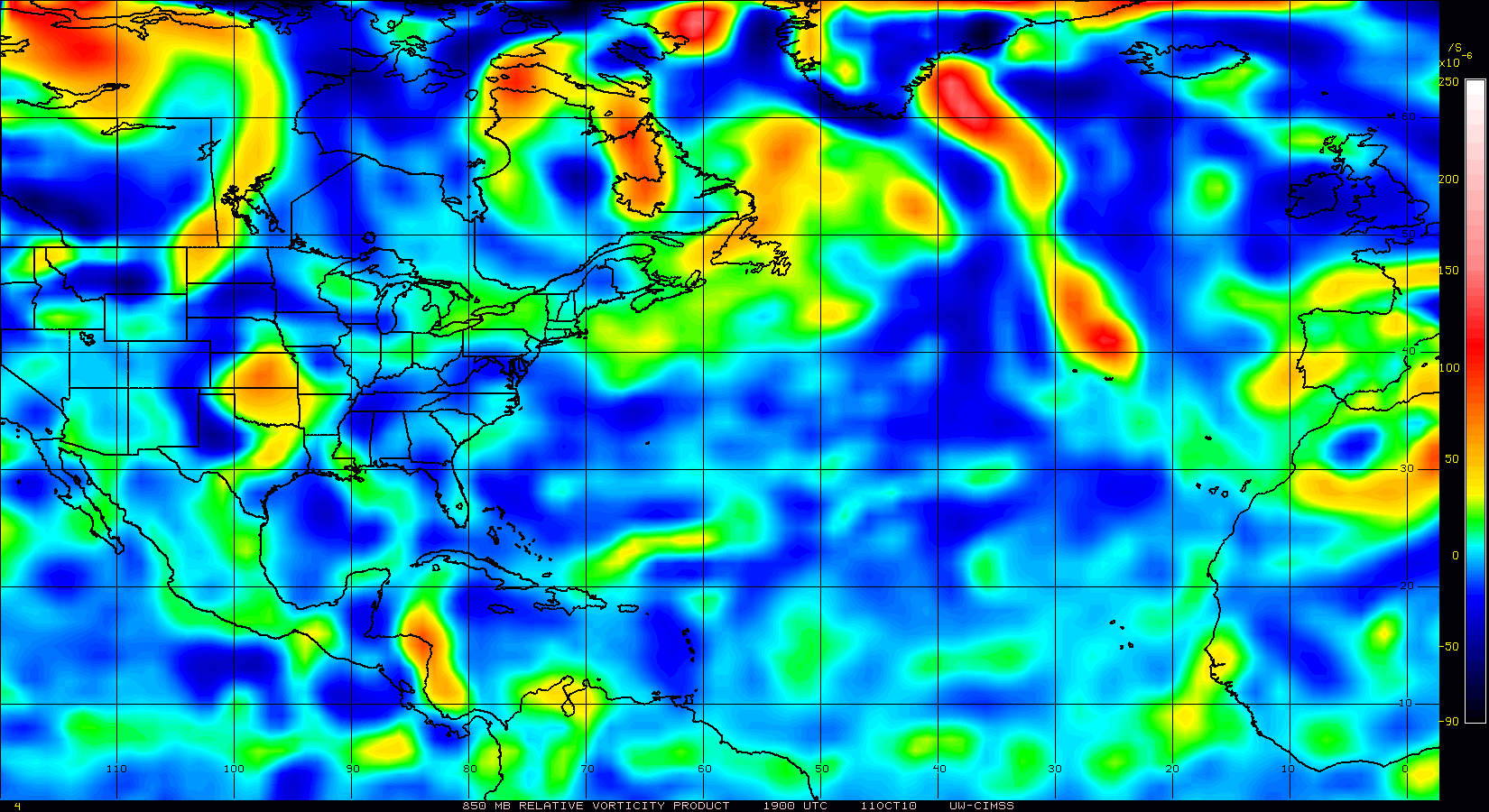
DISORGANIZED SHOWERS AND THUNDERSTORMS CONTINUE IN ASSOCIATION WITH
A LARGE AREA OF DISTURBED WEATHER LOCATED ABOUT 900 MILES EAST OF
THE LESSER ANTILLES. UPPER-LEVEL WINDS ARE FORECAST TO BECOME
SOMEWHAT MORE CONDUCIVE FOR DEVELOPMENT AND THERE IS A MEDIUM
CHANCE...40 PERCENT...OF THIS SYSTEM BECOMING A TROPICAL CYCLONE
DURING THE NEXT 48 HOURS AS IT MOVES WESTWARD OR WEST-NORTHWESTWARD
AT 15 TO 20 MPH.
A BROAD TROUGH OF LOW PRESSURE OVER THE NORTHERN CARIBBEAN SEA
CONTINUES TO PRODUCE DISORGANIZED SHOWER AND THUNDERSTORM ACTIVITY.
THERE ARE NO SIGNS OF ORGANIZATION AND THERE IS A LOW CHANCE...10
PERCENT...OF THIS SYSTEM BECOMING A TROPICAL CYCLONE DURING THE
NEXT 48 HOURS. REGARDLESS OF DEVELOPMENT...LOCALLY HEAVY RAINS ARE
POSSIBLE DURING THE NEXT DAY OR TWO ACROSS NORTHERN CENTRAL
AMERICA...THE CAYMAN ISLANDS...EASTERN CUBA...JAMAICA...AND
HISPANIOLA.
ELSEWHERE...TROPICAL CYCLONE FORMATION IS NOT EXPECTED DURING THE
NEXT 48 HOURS.
$$
FORECASTER BRENNAN
Yet another storm to form in the NW Caribbean
Moderator: S2k Moderators
Forum rules

The posts in this forum are NOT official forecasts and should not be used as such. They are just the opinion of the poster and may or may not be backed by sound meteorological data. They are NOT endorsed by any professional institution or STORM2K. For official information, please refer to products from the National Hurricane Center and National Weather Service.
-
HURAKAN

- Professional-Met

- Posts: 46084
- Age: 39
- Joined: Thu May 20, 2004 4:34 pm
- Location: Key West, FL
- Contact:
Re: Yet another storm to form in the NW Caribbean - Code Yellow
Jeff Masters:
Elsewhere in the tropics
Disturbed weather continues in the Central Caribbean, where the remnants of Tropical Storm Nicole will bring isolated heavy rain showers today to Hispaniola, Jamaica, Cuba, the Cayman Islands, and northern Honduras. The GFS model predicts this activity will concentrate near Hispaniola over the weekend, then push northwards into the Bahamas, with a subtropical or extratropical storm forming over the Bahamas on Sunday or Monday. This storm could bring 2 - 4 inches of rain to the Bahamas Sunday and Monday. The storm will then move north-northeastwards, parallel to the U.S. East Coast, and not affect any other land areas. Several of the models are predicting the formation of a tropical depression in the Mid-Atlantic 5 - 7 days from now, in a location that would not be of any danger to land areas.
0 likes


-
otowntiger
- Category 5

- Posts: 1932
- Joined: Tue Aug 31, 2004 7:06 pm
Re: Yet another storm to form in the NW Caribbean - Code Yellow
HURAKAN wrote:Jeff Masters:
Elsewhere in the tropics
Disturbed weather continues in the Central Caribbean, where the remnants of Tropical Storm Nicole will bring isolated heavy rain showers today to Hispaniola, Jamaica, Cuba, the Cayman Islands, and northern Honduras. The GFS model predicts this activity will concentrate near Hispaniola over the weekend, then push northwards into the Bahamas, with a subtropical or extratropical storm forming over the Bahamas on Sunday or Monday. This storm could bring 2 - 4 inches of rain to the Bahamas Sunday and Monday. The storm will then move north-northeastwards, parallel to the U.S. East Coast, and not affect any other land areas. Several of the models are predicting the formation of a tropical depression in the Mid-Atlantic 5 - 7 days from now, in a location that would not be of any danger to land areas.
Quiet times ahead.
0 likes
Re: Yet another storm to form in the NW Caribbean - Code Yellow
I'm watching the West Caribbean convection.
0 likes
-
HURAKAN
- Professional-Met
- Posts: 46084
- Age: 39
- Joined: Thu May 20, 2004 4:34 pm
- Location: Key West, FL
- Contact:
Re: Yet another storm to form in the NW Caribbean - Code Yellow
TROPICAL WEATHER OUTLOOK
NWS TPC/NATIONAL HURRICANE CENTER MIAMI FL
800 PM EDT FRI OCT 1 2010
FOR THE NORTH ATLANTIC...CARIBBEAN SEA AND THE GULF OF MEXICO...
SHOWERS AND THUNDERSTORMS REMAIN DISORGANIZED IN ASSOCIATION WITH
A LARGE AREA OF DISTURBED WEATHER LOCATED ABOUT 700 MILES EAST OF
THE LESSER ANTILLES. DEVELOPMENT...IF ANY...OF THIS SYSTEM SHOULD
BE SLOW TO OCCUR...AND THERE IS A LOW CHANCE...20 PERCENT...OF THIS
SYSTEM BECOMING A TROPICAL CYCLONE DURING THE NEXT 48 HOURS AS IT
MOVES WESTWARD OR WEST-NORTHWESTWARD AT 15 TO 20 MPH.
A SURFACE TROUGH OVER THE NORTHWESTERN CARIBBEAN SEA CONTINUES TO
PRODUCE DISORGANIZED SHOWER AND THUNDERSTORM ACTIVITY. THERE IS A
LOW CHANCE...10 PERCENT...OF THIS SYSTEM BECOMING A TROPICAL
CYCLONE DURING THE NEXT 48 HOURS AS IT MOVES SLOWLY EASTWARD OR
NORTHEASTWARD. REGARDLESS OF DEVELOPMENT...LOCALLY HEAVY RAINS ARE
POSSIBLE DURING THE NEXT DAY OR TWO ACROSS NORTHERN CENTRAL
AMERICA...THE CAYMAN ISLANDS...EASTERN CUBA...JAMAICA...AND
HISPANIOLA.
ELSEWHERE...TROPICAL CYCLONE FORMATION IS NOT EXPECTED DURING THE
NEXT 48 HOURS.
$$
FORECASTER BEVEN
0 likes
Re: Yet another storm to form in the NW Caribbean - Code Yellow
Convection loss. We're probably in the post-monsoon trough phase. The Caribbean will probably have to work up to the next one.
0 likes
Who is online
Users browsing this forum: Ulf, Yellow Evan and 141 guests