

ATL: OTTO - Post-tropical - Discussion
Moderator: S2k Moderators
-
Gustywind

- Category 5

- Posts: 12334
- Joined: Mon Sep 03, 2007 7:29 am
- Location: Baie-Mahault, GUADELOUPE
Re: ATL: INVEST 97L - Discussion - (Code Yellow)
HUC wrote:I think that something is trying to form; i don't know exactly where, but that remember me a lot the situation in october 1970 when a huge TD cross very slowly the Eastern Carribean!!! You remember abajan?
Here in the SO tip of Guadeloupe, overcast, heavy showers time to time that came from the SOuest,which is unusual.The ground wind is calm, or from the SSO 3 to 5 kh.After a reading of 1008mb early this morning, my barograf rise to 1011mb, buty steady now..Multiple small vortex ???
And the big cloud mass just east of the islands is to watch carefuly.
IMO, a TD may form any where inthe East carribean chain..Just an amateur opinion..
STAY TUNED
Thanks HUC for this post, we appreciate us in the Leewards and you're maybe right. No wind in my location. We should stay on our guard for sure! This huge bulk of very heavy convection east of the islands could bring quickly juicy amounts of water and tstorms if it continues to travel towards us
 Let's wait and see.
0 likes


-
cycloneye

- Admin

- Posts: 149585
- Age: 69
- Joined: Thu Oct 10, 2002 10:54 am
- Location: San Juan, Puerto Rico
Re: ATL: INVEST 97L - Discussion - (Code Yellow)
This web cam is in Guadeloupe.

And this cam is at ST Maarteen.
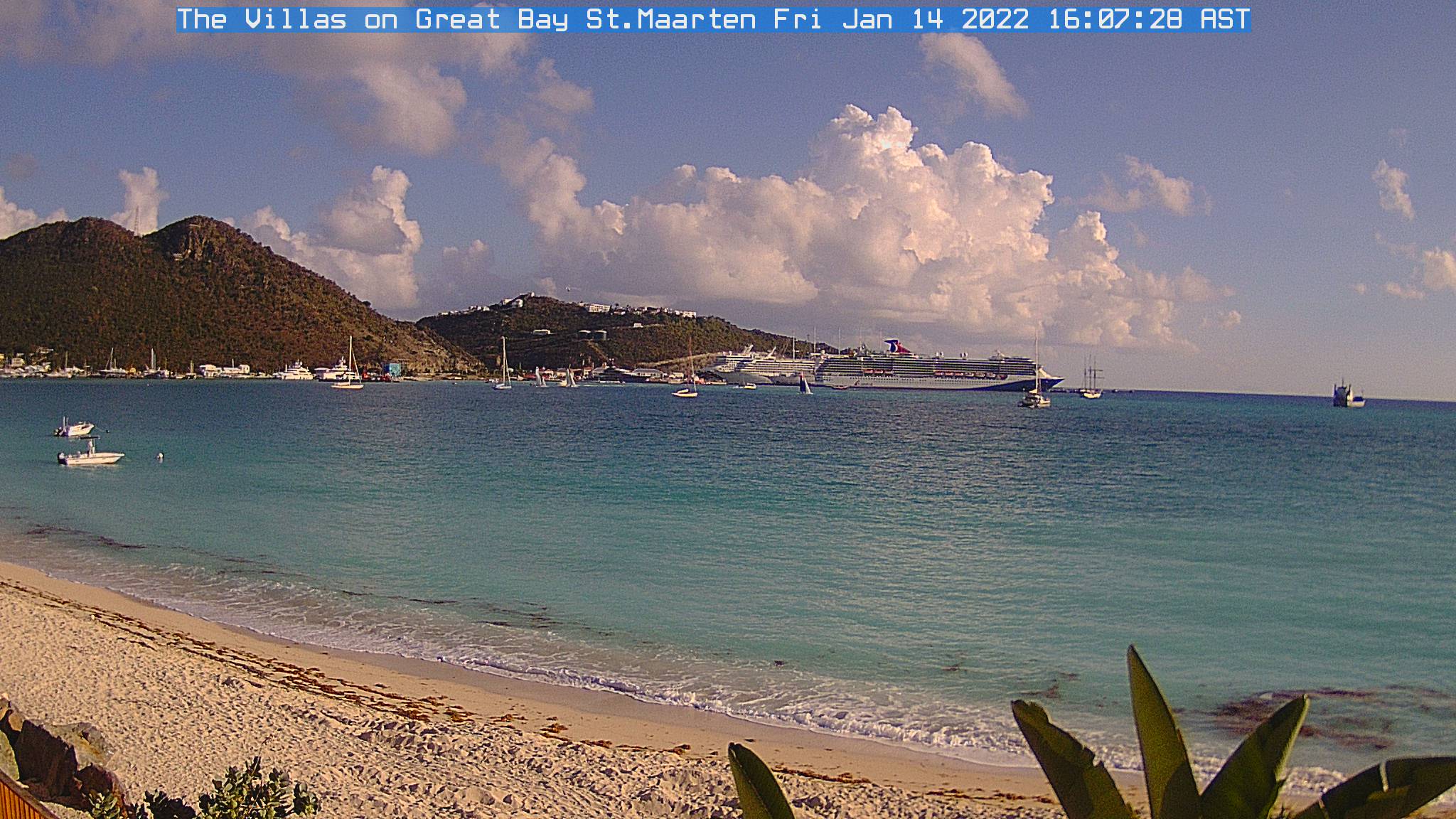
And this cam is at ST Maarteen.
0 likes
Visit the Caribbean-Central America Weather Thread where you can find at first post web cams,radars
and observations from Caribbean basin members Click Here
and observations from Caribbean basin members Click Here

Re: ATL: INVEST 97L - Discussion - (Code Yellow)
Yes, I do. Of course, Guadeloupe had a record breaking cloudburst the following month of the same year when 38.1 mm (1.5 inches) of rain fell in just 1 minute!HUC wrote:... but that remember me a lot the situation in october 1970 when a huge TD cross very slowly the Eastern Carribean!!! You remember abajan? ...
0 likes

Re: ATL: INVEST 97L - Discussion - (Code Yellow)
Appears to be a west wind in the cloud motion on the south side.
0 likes
-
Weatherfreak000

-
HURAKAN

- Professional-Met

- Posts: 46084
- Age: 39
- Joined: Thu May 20, 2004 4:34 pm
- Location: Key West, FL
- Contact:
Re: ATL: INVEST 97L - Discussion - (Code Yellow)
731
ABNT20 KNHC 031744
TWOAT
TROPICAL WEATHER OUTLOOK
NWS TPC/NATIONAL HURRICANE CENTER MIAMI FL
200 PM EDT SUN OCT 3 2010
FOR THE NORTH ATLANTIC...CARIBBEAN SEA AND THE GULF OF MEXICO...
SHOWER AND THUNDERSTORM ACTIVITY REMAINS DISORGANIZED IN ASSOCIATION
WITH AN ELONGATED AREA OF LOW PRESSURE THAT EXTENDS FROM THE
NORTHEASTERN CARIBBEAN SEA ACROSS THE LEEWARD ISLANDS AND INTO THE
ADJACENT ATLANTIC WATERS. ANY DEVELOPMENT SHOULD BE SLOW TO OCCUR
DUE TO UNFAVORABLE UPPER-LEVEL WINDS...AND THERE IS A LOW CHANCE...
10 PERCENT...OF THIS SYSTEM BECOMING A TROPICAL CYCLONE DURING THE
NEXT 48 HOURS AS IT MOVES WESTWARD OR WEST-NORTHWESTWARD AT AROUND
10 MPH. REGARDLESS OF DEVELOPMENT...LOCALLY HEAVY RAINS ARE
POSSIBLE DURING THE NEXT DAY OR TWO OVER THE LEEWARD ISLANDS... THE
VIRGIN ISLANDS...AND PUERTO RICO.
A SMALL AREA OF DISTURBED WEATHER LOCATED ABOUT 1300 MILES
EAST-SOUTHEAST OF THE WINDWARD ISLANDS IS PRODUCING DISORGANIZED
SHOWERS AND THUNDERSTORMS. ANY DEVELOPMENT OF THIS SYSTEM IS
EXPECTED TO BE SLOW TO OCCUR AS IT MOVES NORTHWESTWARD AT 10 TO 15
MPH. THERE IS A LOW CHANCE...10 PERCENT...OF THIS SYSTEM BECOMING A
TROPICAL CYCLONE DURING THE NEXT 48 HOURS.
ELSEWHERE...TROPICAL CYCLONE FORMATION IS NOT EXPECTED DURING THE
NEXT 48 HOURS.
$$
FORECASTER BRENNAN
0 likes

-
HURAKAN
- Professional-Met
- Posts: 46084
- Age: 39
- Joined: Thu May 20, 2004 4:34 pm
- Location: Key West, FL
- Contact:
Re: ATL: INVEST 97L - Discussion - (Code Yellow)
AL, 97, 2010100318, , BEST, 0, 178N, 598W, 25, 1007, DB
slowing down to a crawl
slowing down to a crawl
0 likes


Re: ATL: INVEST 97L - Discussion - (Code Yellow)
0 likes

Re: ATL: INVEST 97L - Discussion - (Code Yellow)
abajan,i know this "record", but i don't know any station in Guadeloupe named "Barot"!!! And this november day in 1970,there was no observation of such a rain event...Si this is very caution....
0 likes
Re: ATL: INVEST 97L - Discussion - (Code Yellow)
Thanks macrocane. So you canfirmed that.
But in terms of record rain,here in Guadeloupe,hurricane Marylin in 1995 gave 500mm in 24 hours not si far of my location in the city of "Bouillante".
Don't think the present disturbance will give all these amounts...
But in terms of record rain,here in Guadeloupe,hurricane Marylin in 1995 gave 500mm in 24 hours not si far of my location in the city of "Bouillante".
Don't think the present disturbance will give all these amounts...
0 likes
-
expat2carib

- S2K Supporter

- Posts: 458
- Joined: Tue Jul 22, 2008 1:44 pm
- Location: Sint Maarten
Re: ATL: INVEST 97L - Discussion - (Code Yellow)
The Barot record.
A pregnant monsoon cloud? What/who did the monsoon pair with? How can a monsoon cloud get pregnant? Who pays the Child support?
Back on topic.
A pregnant monsoon cloud? What/who did the monsoon pair with? How can a monsoon cloud get pregnant?
http://www.weathernotebook.org/transcripts/2001/09/05.html
A cloudburst occurs when a pregnant monsoon cloud drifts northwards, from the Bay of Bengal across the Ganges plains, then onto the Himalayas and bursts, bringing rainfall as high as 75 millimeters per hour.
Back on topic.
Last edited by expat2carib on Sun Oct 03, 2010 6:40 pm, edited 1 time in total.
0 likes
-
cycloneye
- Admin
- Posts: 149585
- Age: 69
- Joined: Thu Oct 10, 2002 10:54 am
- Location: San Juan, Puerto Rico
Re: ATL: INVEST 97L - Discussion - (Code Yellow)
Up to 20%
A BROAD AND ELONGATED AREA OF LOW PRESSURE IS LOCATED OVER THE
NORTHEASTERN CARIBBEAN SEA AND EXTENDS NORTHWARD INTO THE ADJACENT
ATLANTIC WATERS. SHOWER AND THUNDERSTORM ACTIVITY ASSOCIATED WITH
THIS SYSTEM REMAINS DISORGANIZED. UPPER-LEVEL WINDS ARE EXPECTED
TO CONTINUE TO BE UNFAVORABLE FOR DEVELOPMENT DURING THE NEXT DAY
OR TWO...ALTHOUGH THEY MAY BECOME MORE FAVORABLE BY WEDNESDAY.
THERE IS A LOW CHANCE...20 PERCENT...OF THIS SYSTEM BECOMING A
TROPICAL CYCLONE DURING THE NEXT 48 HOURS AS IT MOVES WESTWARD OR
WEST-NORTHWESTWARD AT AROUND 10 MPH. LOCALLY HEAVY RAINS ARE
POSSIBLE DURING THE NEXT DAY OR TWO OVER THE LEEWARD ISLANDS...THE
VIRGIN ISLANDS...PUERTO RICO...AND HISPANIOLA.
0 likes
Visit the Caribbean-Central America Weather Thread where you can find at first post web cams,radars
and observations from Caribbean basin members Click Here
and observations from Caribbean basin members Click Here
Who is online
Users browsing this forum: No registered users and 44 guests