ATL: Remnants of PAULA - Discussion
Moderator: S2k Moderators


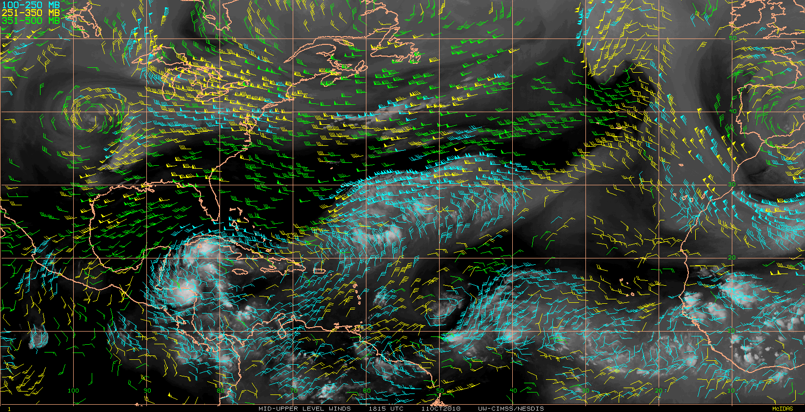
Could well be a TS though I'd have thought there are some decent obs nearby and the system is very close to land...still who knows the NE Quadrant may well find 30-35kts winds...
0 likes
Personal Forecast Disclaimer:
The posts in this forum are NOT official forecast and should not be used as such. They are just the opinion of the poster and may or may not be backed by sound meteorological data. They are NOT endorsed by any professional institution or storm2k.org. For official information, please refer to the NHC and NWS products
The posts in this forum are NOT official forecast and should not be used as such. They are just the opinion of the poster and may or may not be backed by sound meteorological data. They are NOT endorsed by any professional institution or storm2k.org. For official information, please refer to the NHC and NWS products
-
HURAKAN

- Professional-Met

- Posts: 46084
- Age: 39
- Joined: Thu May 20, 2004 4:34 pm
- Location: Key West, FL
- Contact:
Re: ATL : INVEST 98L - Discussion
TROPICAL WEATHER DISCUSSION...UPDATED
NWS TPC/NATIONAL HURRICANE CENTER MIAMI FL
930 AM EDT MON OCT 11 2010
***** SPECIAL FEATURE CHANCE OF DEVELOPMENT UPDATED *****
BASED ON 0600 UTC SURFACE ANALYSIS AND SATELLITE IMAGERY THROUGH
1145 UTC.
...SPECIAL FEATURES...
AN ELONGATED AREA OF LOW PRESSURE WITH 1008 MB LOW IS CENTERED
OFF THE COAST OF NICARAGUA NEAR 14N83W WITH A SURFACE TROUGH
EXTENDING N E OF THE CAYMAN ISLANDS TO NEAR 19N78W. SCATTERED/
NUMEROUS STRONG CONVECTION IS WITHIN 30/45 NM OF 83W FROM
14N-16N WITH SCATTERED MODERATE/STRONG CONVECTION COVERING THE
REMAINDER OF THE AREA FROM 13N-21N W OF THE TROUGH TO 86W AND
CLUSTERS OF SIMILAR CONVECTION WITHIN 200 NM W OF THE REMAINDER
OF THE SURFACE TROUGH. CONDITIONS APPEAR SOMEWHAT CONDUCIVE FOR
DEVELOPMENT DURING THE NEXT DAY OR TWO AS THIS SYSTEMS MOVES
W-NW TO NW AT 5 TO 10 KT. THERE IS A HIGH CHANCE OF THIS SYSTEM
BECOMING A TROPICAL CYCLONE DURING THE NEXT 48 HOURS.
REGARDLESS OF DEVELOPMENT...HEAVY RAINFALL IS POSSIBLE OVER
PORTIONS OF NICARAGUA AND HONDURAS DURING THE NEXT COUPLE OF
DAYS.
0 likes
-
wxman57

- Moderator-Pro Met

- Posts: 23175
- Age: 68
- Joined: Sat Jun 21, 2003 8:06 pm
- Location: Houston, TX (southwest)
Re: ATL : INVEST 98L - Discussion
It was a 'high chance" before. They forgot to update the percentage on that special statement.
0 likes

-
Evil Jeremy

- S2K Supporter

- Posts: 5463
- Age: 32
- Joined: Mon Apr 10, 2006 2:10 pm
- Location: Los Angeles, CA
Re: ATL : INVEST 98L - Discussion
wxman57 wrote:It was a 'high chance" before. They forgot to update the percentage on that special statement.
HURAKAN wrote:805 TWD:
"CONDITIONS APPEAR SOMEWHAT CONDUCIVE FOR
DEVELOPMENT DURING THE NEXT DAY OR TWO AS THIS SYSTEMS MOVES
W-NW TO NW AT 5 TO 10 KT. THERE IS A MEDIUM CHANCE OF THIS
SYSTEM BECOMING A TROPICAL CYCLONE DURING THE NEXT 48 HOURS. "
0 likes
Frances 04 / Jeanne 04 / Katrina 05 / Wilma 05 / Fay 08 / Debby 12 / Andrea 13 / Colin 16 / Hermine 16 / Matthew 16 / Irma 17
Re:
Vortex wrote:looking great on the vis this morning...continues to organize even with the center being over or just offshore honduras....The upper air environemnt has improved and steady strengthening once it moves into the Gulf of Honduras seems a good bet...
Yeah I agree and with the presentation as it pulls away from land in the next 12-24hrs I'd imagine we will have a strengthening storm. I see no reason why this won't be a hurricane and if its motion is slow enough a major is certainly a possiblity if only through the historical side of things and how many majors have formed in this part of the basin at this time of the year.
0 likes
Personal Forecast Disclaimer:
The posts in this forum are NOT official forecast and should not be used as such. They are just the opinion of the poster and may or may not be backed by sound meteorological data. They are NOT endorsed by any professional institution or storm2k.org. For official information, please refer to the NHC and NWS products
The posts in this forum are NOT official forecast and should not be used as such. They are just the opinion of the poster and may or may not be backed by sound meteorological data. They are NOT endorsed by any professional institution or storm2k.org. For official information, please refer to the NHC and NWS products
-
gatorcane

- S2K Supporter
- Posts: 23708
- Age: 48
- Joined: Sun Mar 13, 2005 3:54 pm
- Location: Boca Raton, FL
Re: Re:
KWT wrote:Vortex wrote:looking great on the vis this morning...continues to organize even with the center being over or just offshore honduras....The upper air environemnt has improved and steady strengthening once it moves into the Gulf of Honduras seems a good bet...
Yeah I agree and with the presentation as it pulls away from land in the next 12-24hrs I'd imagine we will have a strengthening storm. I see no reason why this won't be a hurricane and if its motion is slow enough a major is certainly a possiblity if only through the historical side of things and how many majors have formed in this part of the basin at this time of the year.
I agree a major hurricane in the NW Caribbean is not out of the question if it can stay over water.
0 likes
-
wxman57
- Moderator-Pro Met
- Posts: 23175
- Age: 68
- Joined: Sat Jun 21, 2003 8:06 pm
- Location: Houston, TX (southwest)
Re: ATL : INVEST 98L - Discussion
Evil Jeremy wrote:wxman57 wrote:It was a 'high chance" before. They forgot to update the percentage on that special statement.HURAKAN wrote:805 TWD:
"CONDITIONS APPEAR SOMEWHAT CONDUCIVE FOR
DEVELOPMENT DURING THE NEXT DAY OR TWO AS THIS SYSTEMS MOVES
W-NW TO NW AT 5 TO 10 KT. THERE IS A MEDIUM CHANCE OF THIS
SYSTEM BECOMING A TROPICAL CYCLONE DURING THE NEXT 48 HOURS. "
That doesn't match what the TPC put out at 8am:
TROPICAL WEATHER OUTLOOK
NWS TPC/NATIONAL HURRICANE CENTER MIAMI FL
800 AM EDT MON OCT 11 2010
FOR THE NORTH ATLANTIC...CARIBBEAN SEA AND THE GULF OF MEXICO...
SHOWERS AND THUNDERSTORMS HAVE BECOME A LITTLE BETTER ORGANIZED IN
ASSOCIATION WITH AN AREA OF LOW PRESSURE LOCATED ABOUT 60 MILES
SOUTHEAST OF THE NICARAGUA/HONDURAS BORDER. CONDITIONS APPEAR
CONDUCIVE FOR ADDITIONAL DEVELOPMENT DURING THE NEXT DAY OR TWO...
AND A TROPICAL DEPRESSION COULD FORM AS THIS SYSTEMS MOVES
WEST-NORTHWESTWARD TO NORTHWESTWARD AT AROUND 10 MPH. THERE IS A
HIGH CHANCE...60 PERCENT...OF THIS SYSTEM BECOMING A TROPICAL
CYCLONE DURING THE NEXT 48 HOURS.
0 likes
-
Evil Jeremy
- S2K Supporter
- Posts: 5463
- Age: 32
- Joined: Mon Apr 10, 2006 2:10 pm
- Location: Los Angeles, CA
Re: ATL : INVEST 98L - Discussion
wxman57 wrote:Evil Jeremy wrote:wxman57 wrote:It was a 'high chance" before. They forgot to update the percentage on that special statement.HURAKAN wrote:805 TWD:
"CONDITIONS APPEAR SOMEWHAT CONDUCIVE FOR
DEVELOPMENT DURING THE NEXT DAY OR TWO AS THIS SYSTEMS MOVES
W-NW TO NW AT 5 TO 10 KT. THERE IS A MEDIUM CHANCE OF THIS
SYSTEM BECOMING A TROPICAL CYCLONE DURING THE NEXT 48 HOURS. "
That doesn't match what the TPC put out at 8am:
TROPICAL WEATHER OUTLOOK
NWS TPC/NATIONAL HURRICANE CENTER MIAMI FL
800 AM EDT MON OCT 11 2010
FOR THE NORTH ATLANTIC...CARIBBEAN SEA AND THE GULF OF MEXICO...
SHOWERS AND THUNDERSTORMS HAVE BECOME A LITTLE BETTER ORGANIZED IN
ASSOCIATION WITH AN AREA OF LOW PRESSURE LOCATED ABOUT 60 MILES
SOUTHEAST OF THE NICARAGUA/HONDURAS BORDER. CONDITIONS APPEAR
CONDUCIVE FOR ADDITIONAL DEVELOPMENT DURING THE NEXT DAY OR TWO...
AND A TROPICAL DEPRESSION COULD FORM AS THIS SYSTEMS MOVES
WEST-NORTHWESTWARD TO NORTHWESTWARD AT AROUND 10 MPH. THERE IS A
HIGH CHANCE...60 PERCENT...OF THIS SYSTEM BECOMING A TROPICAL
CYCLONE DURING THE NEXT 48 HOURS.
Exactly, which is why they had to update the TWD, to match the TWO.
TROPICAL WEATHER DISCUSSION...UPDATED
NWS TPC/NATIONAL HURRICANE CENTER MIAMI FL
930 AM EDT MON OCT 11 2010
***** SPECIAL FEATURE CHANCE OF DEVELOPMENT UPDATED *****
0 likes
Frances 04 / Jeanne 04 / Katrina 05 / Wilma 05 / Fay 08 / Debby 12 / Andrea 13 / Colin 16 / Hermine 16 / Matthew 16 / Irma 17

Re: Re:
KWT wrote:Vortex wrote:looking great on the vis this morning...continues to organize even with the center being over or just offshore honduras....The upper air environemnt has improved and steady strengthening once it moves into the Gulf of Honduras seems a good bet...
Yeah I agree and with the presentation as it pulls away from land in the next 12-24hrs I'd imagine we will have a strengthening storm. I see no reason why this won't be a hurricane and if its motion is slow enough a major is certainly a possiblity if only through the historical side of things and how many majors have formed in this part of the basin at this time of the year.
Overshooting tops continue to fire.
Usually they die off a couple hours after sunrise / DMAX when a system is marginal.
Cirrus outflow looks real good on the west half of the convection.
http://www.tropicalatlantic.com/satelli ... 16&lon=-83
0 likes
Re: ATL : INVEST 98L - Discussion
As Hurakan was hinting the Honduras center was always the center of this. The wave axis was kept going by other factors but the spin was past the point of no return.
It's over land right now but obviously well into development. Some systems take more of a hit from land than others so we'll see how it reacts to being over land. If Matthew was any indication it should have little affect.
Is this the one that finally lines-up for a Florida hit?
It's over land right now but obviously well into development. Some systems take more of a hit from land than others so we'll see how it reacts to being over land. If Matthew was any indication it should have little affect.
Is this the one that finally lines-up for a Florida hit?
0 likes
-
HURAKAN
- Professional-Met
- Posts: 46084
- Age: 39
- Joined: Thu May 20, 2004 4:34 pm
- Location: Key West, FL
- Contact:
Link - http://wwwghcc.msfc.nasa.gov/GOES/goeseastconus.html
I'll be surprised if RECON doesn't find TD 18 or TS Paula
I'll be surprised if RECON doesn't find TD 18 or TS Paula
0 likes
-
Tropics Guy

- Tropical Storm

- Posts: 167
- Age: 63
- Joined: Tue Aug 31, 2004 8:12 pm
- Location: Hallandale beach & Vero beach, FL
Re: ATL : INVEST 98L - Discussion
Based on visible presentation, sure looks like it could already be a TD............
http://www.ssd.noaa.gov/goes/flt/t2/loop-vis.html
TG
http://www.ssd.noaa.gov/goes/flt/t2/loop-vis.html
TG
0 likes

Re:
KWT wrote:It really does look like a depression, I agree with Wxman57 its been a depression for at least 24hrs IMO...
Recon probably will confirm we have a depression, this looks far better then several questionable depressions this season and even some storms such as Bonnie/Nicole.
It looks better than some tropical storms I have seen.
0 likes
Re: ATL : INVEST 98L - Discussion
I can't see from appearance how this could be anything but a system about to curl up once it enters the west Caribbean above Honduras. I'll double down on it (a sucker bet in my mind).
0 likes
Yeah without a doubt recon finds a system with this one, its just what strength its at, personally I suspect a 30kts TD for now but its got a good presentation to it and I wouldn't be surprised to see it strengthen at a decent clip once it gets away from Honduras.
0 likes
Personal Forecast Disclaimer:
The posts in this forum are NOT official forecast and should not be used as such. They are just the opinion of the poster and may or may not be backed by sound meteorological data. They are NOT endorsed by any professional institution or storm2k.org. For official information, please refer to the NHC and NWS products
The posts in this forum are NOT official forecast and should not be used as such. They are just the opinion of the poster and may or may not be backed by sound meteorological data. They are NOT endorsed by any professional institution or storm2k.org. For official information, please refer to the NHC and NWS products
That on its own Hurakan is rather suggestive that we probably have a tropical cyclone out there right now.
Recon on its way so we'll know either way soon enough.
Recon on its way so we'll know either way soon enough.
0 likes
Personal Forecast Disclaimer:
The posts in this forum are NOT official forecast and should not be used as such. They are just the opinion of the poster and may or may not be backed by sound meteorological data. They are NOT endorsed by any professional institution or storm2k.org. For official information, please refer to the NHC and NWS products
The posts in this forum are NOT official forecast and should not be used as such. They are just the opinion of the poster and may or may not be backed by sound meteorological data. They are NOT endorsed by any professional institution or storm2k.org. For official information, please refer to the NHC and NWS products
Who is online
Users browsing this forum: No registered users and 38 guests