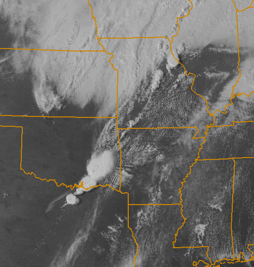
The radar is blurry because southeastern Oklahoma and northeastern Texas are in a "radar blind spot" that makes it impossible to see what's going on at the lowest levels of the atmosphere -- they're far enough away from the OKC/Tulsa/DFW/Ft.Smith/Shreveport radar sites that the curvature of the earth only allows the radar echoes to see the upper levels of the storms.


^ The Atoka County cell with the tornado warning is the northernmost one at the very edge of the radar's reach.