

651
WFUS54 KHUN 271224
TORHUN
ALC049-071-271245-
/O.NEW.KHUN.TO.W.0048.110427T1224Z-110427T1245Z/
BULLETIN - EAS ACTIVATION REQUESTED
TORNADO WARNING
NATIONAL WEATHER SERVICE HUNTSVILLE AL
724 AM CDT WED APR 27 2011
THE NATIONAL WEATHER SERVICE IN HUNTSVILLE HAS ISSUED A
* TORNADO WARNING FOR...
NORTHEASTERN DEKALB COUNTY IN NORTHEAST ALABAMA...
EASTERN JACKSON COUNTY IN NORTHEAST ALABAMA...
* UNTIL 745 AM CDT
* AT 717 AM CDT...NATIONAL WEATHER SERVICE DOPPLER RADAR WAS TRACKING
A LARGE AND EXTREMELY DANGEROUS TORNADO NEAR ROSALIE MOVING
NORTHEAST AT 70 MPH. THERE ARE MULTIPLE CIRCULATIONS WITH THIS
STORM AND IT HAS A HISTORY OF PRODUCING WIDESPREAD DAMAGE ACROSS
SOUTHERN JACKSON...MARSHALL...AND DEKALB COUNTY.
* LOCATIONS NEAR THE PATH OF THIS TORNADO INCLUDE...
HIGDON.
LONG ISLAND.
Historic Multi Day Tornado/Flooding Event 4/23-28/2011
Moderator: S2k Moderators
Forum rules

The posts in this forum are NOT official forecast and should not be used as such. They are just the opinion of the poster and may or may not be backed by sound meteorological data. They are NOT endorsed by any professional institution or STORM2K.


Re: Potential Widespread Flooding/Severe Weather Event 4/23-28
Very high STP over all AL for this evening.
Will probably have a derecho for GA later on as the MCS / QLCS moves east.

Will probably have a derecho for GA later on as the MCS / QLCS moves east.
0 likes

Re: Potential Widespread Flooding/Severe Weather Event 4/23-28
...and the sun just came out in Huntsville...looks like an interesting day for north and central Alabama...
0 likes
-
Dave

- Retired Staff

- Posts: 13442
- Age: 75
- Joined: Tue Aug 01, 2006 3:57 pm
- Location: Milan Indiana
- Contact:
Cleared two tornado warnings out up here for Northern Ky, south of Cincinnati this morning. The Greater Cincinnati/Northern Ky airport was shut down and evacuated until the northern most warning was cleared. No damage...1 report of 65 mph wind gust only. The sun is out now but I'd preferred to see it stay cloudy today. May be an interesting afternoon.
0 likes
-
apocalypt-flyer
- Category 1

- Posts: 468
- Joined: Sat Aug 27, 2005 11:51 am
Re: Potential Widespread Flooding/Severe Weather Event 4/23-28
Tonight's set-up looks nasty yet again. What's worrying as well is that it looks like the weekend might be quite eventful, too. UGH.
0 likes

-
Brent
- S2K Supporter

- Posts: 38755
- Age: 37
- Joined: Sun May 16, 2004 10:30 pm
- Location: Tulsa Oklahoma
- Contact:
Re: Potential Widespread Flooding/Severe Weather Event 4/23-28
0605 AM TSTM WND DMG 3 E MOODY 33.60N 86.45W
04/27/2011 ST. CLAIR AL BROADCAST MEDIA
*** 1 FATAL *** TREES DOWN ON MOBILE HOME. ONE FEMALE
FATALITY.

04/27/2011 ST. CLAIR AL BROADCAST MEDIA
*** 1 FATAL *** TREES DOWN ON MOBILE HOME. ONE FEMALE
FATALITY.
0 likes
#neversummer
Re: Potential Widespread Flooding/Severe Weather Event 4/23-28
Top is current 500mb.
Here is the HRRR forecast loop:
http://rapidrefresh.noaa.gov/hrrrconus/jsloop.cgi?dsKeys=hrrr:&runTime=2011042713&plotName=vort_500&fcstInc=60&numFcsts=16&model=hrrr&ptitle=HRRR%20Model%20Fields&maxFcstLen=15&resizePlot=1&domain=full&wjet=1
Bottom is RUC 12 hrs out.


Here is the HRRR forecast loop:
http://rapidrefresh.noaa.gov/hrrrconus/jsloop.cgi?dsKeys=hrrr:&runTime=2011042713&plotName=vort_500&fcstInc=60&numFcsts=16&model=hrrr&ptitle=HRRR%20Model%20Fields&maxFcstLen=15&resizePlot=1&domain=full&wjet=1
Bottom is RUC 12 hrs out.
0 likes
-
brunota2003

- S2K Supporter
- Posts: 9476
- Age: 35
- Joined: Sat Jul 30, 2005 9:56 pm
- Location: Stanton, KY...formerly Havelock, NC
- Contact:
-
brunota2003
- S2K Supporter
- Posts: 9476
- Age: 35
- Joined: Sat Jul 30, 2005 9:56 pm
- Location: Stanton, KY...formerly Havelock, NC
- Contact:
> 95 / 90
SEL2
URGENT - IMMEDIATE BROADCAST REQUESTED
TORNADO WATCH NUMBER 232
NWS STORM PREDICTION CENTER NORMAN OK
1105 AM CDT WED APR 27 2011
THE NWS STORM PREDICTION CENTER HAS ISSUED A
TORNADO WATCH FOR PORTIONS OF
EXTREME SOUTHEAST ARKANSAS
NORTHEAST LOUISIANA
MUCH OF MISSISSIPPI
EFFECTIVE THIS WEDNESDAY MORNING AND EVENING FROM 1105 AM UNTIL
700 PM CDT.
...THIS IS A PARTICULARLY DANGEROUS SITUATION...


DESTRUCTIVE TORNADOES...LARGE HAIL TO 4 INCHES IN DIAMETER...
THUNDERSTORM WIND GUSTS TO 80 MPH...AND DANGEROUS LIGHTNING ARE
POSSIBLE IN THESE AREAS.
THE TORNADO WATCH AREA IS APPROXIMATELY ALONG AND 65 STATUTE
MILES EAST AND WEST OF A LINE FROM 45 MILES EAST SOUTHEAST OF
NATCHEZ MISSISSIPPI TO 50 MILES NORTH OF TUPELO MISSISSIPPI. FOR
A COMPLETE DEPICTION OF THE WATCH SEE THE ASSOCIATED WATCH
OUTLINE UPDATE (WOUS64 KWNS WOU2).
REMEMBER...A TORNADO WATCH MEANS CONDITIONS ARE FAVORABLE FOR
TORNADOES AND SEVERE THUNDERSTORMS IN AND CLOSE TO THE WATCH
AREA. PERSONS IN THESE AREAS SHOULD BE ON THE LOOKOUT FOR
THREATENING WEATHER CONDITIONS AND LISTEN FOR LATER STATEMENTS
AND POSSIBLE WARNINGS.
OTHER WATCH INFORMATION...CONTINUE...WW 229...WW 230...WW 231...
DISCUSSION...A VERY VOLATILE SETUP IS DEVELOPING FOR PORTIONS OF MS
LATER TODAY AS A MOIST AND VERY UNSTABLE AIR MASS RETURNS INTO AN
AREA WITH IMPRESSIVE LOW LEVEL AND DEEP LAYER VERTICAL SHEAR
PROFILES. ACTIVITY IS CURRENTLY DEVELOPING OVER SOUTHEAST
AR/NORTHEAST LA. HOWEVER...IT APPEARS THE PRIMARY CONCERN WILL
START BY EARLY AFTERNOON OVER CENTRAL/NORTHERN MS WHERE DISCRETE
TORNADIC SUPERCELLS ARE LIKELY. ALL PARAMETERS SUGGEST THAT
STRONG/VIOLENT AND LONG-TRACK TORNADOES ARE POSSIBLE. VERY LARGE
HAIL AND WIDESPREAD DAMAGING WINDS ARE ALSO A CONCERN.
AVIATION...TORNADOES AND A FEW SEVERE THUNDERSTORMS WITH HAIL
SURFACE AND ALOFT TO 4 INCHES. EXTREME TURBULENCE AND SURFACE
WIND GUSTS TO 70 KNOTS. A FEW CUMULONIMBI WITH MAXIMUM TOPS TO
550. MEAN STORM MOTION VECTOR 25040.
...HART
SEL2
URGENT - IMMEDIATE BROADCAST REQUESTED
TORNADO WATCH NUMBER 232
NWS STORM PREDICTION CENTER NORMAN OK
1105 AM CDT WED APR 27 2011
THE NWS STORM PREDICTION CENTER HAS ISSUED A
TORNADO WATCH FOR PORTIONS OF
EXTREME SOUTHEAST ARKANSAS
NORTHEAST LOUISIANA
MUCH OF MISSISSIPPI
EFFECTIVE THIS WEDNESDAY MORNING AND EVENING FROM 1105 AM UNTIL
700 PM CDT.
...THIS IS A PARTICULARLY DANGEROUS SITUATION...
DESTRUCTIVE TORNADOES...LARGE HAIL TO 4 INCHES IN DIAMETER...
THUNDERSTORM WIND GUSTS TO 80 MPH...AND DANGEROUS LIGHTNING ARE
POSSIBLE IN THESE AREAS.
THE TORNADO WATCH AREA IS APPROXIMATELY ALONG AND 65 STATUTE
MILES EAST AND WEST OF A LINE FROM 45 MILES EAST SOUTHEAST OF
NATCHEZ MISSISSIPPI TO 50 MILES NORTH OF TUPELO MISSISSIPPI. FOR
A COMPLETE DEPICTION OF THE WATCH SEE THE ASSOCIATED WATCH
OUTLINE UPDATE (WOUS64 KWNS WOU2).
REMEMBER...A TORNADO WATCH MEANS CONDITIONS ARE FAVORABLE FOR
TORNADOES AND SEVERE THUNDERSTORMS IN AND CLOSE TO THE WATCH
AREA. PERSONS IN THESE AREAS SHOULD BE ON THE LOOKOUT FOR
THREATENING WEATHER CONDITIONS AND LISTEN FOR LATER STATEMENTS
AND POSSIBLE WARNINGS.
OTHER WATCH INFORMATION...CONTINUE...WW 229...WW 230...WW 231...
DISCUSSION...A VERY VOLATILE SETUP IS DEVELOPING FOR PORTIONS OF MS
LATER TODAY AS A MOIST AND VERY UNSTABLE AIR MASS RETURNS INTO AN
AREA WITH IMPRESSIVE LOW LEVEL AND DEEP LAYER VERTICAL SHEAR
PROFILES. ACTIVITY IS CURRENTLY DEVELOPING OVER SOUTHEAST
AR/NORTHEAST LA. HOWEVER...IT APPEARS THE PRIMARY CONCERN WILL
START BY EARLY AFTERNOON OVER CENTRAL/NORTHERN MS WHERE DISCRETE
TORNADIC SUPERCELLS ARE LIKELY. ALL PARAMETERS SUGGEST THAT
STRONG/VIOLENT AND LONG-TRACK TORNADOES ARE POSSIBLE. VERY LARGE
HAIL AND WIDESPREAD DAMAGING WINDS ARE ALSO A CONCERN.
AVIATION...TORNADOES AND A FEW SEVERE THUNDERSTORMS WITH HAIL
SURFACE AND ALOFT TO 4 INCHES. EXTREME TURBULENCE AND SURFACE
WIND GUSTS TO 70 KNOTS. A FEW CUMULONIMBI WITH MAXIMUM TOPS TO
550. MEAN STORM MOTION VECTOR 25040.
...HART
Last edited by Bunkertor on Wed Apr 27, 2011 11:53 am, edited 1 time in total.
0 likes
Re: Potential Widespread Flooding/Severe Weather Event 4/23-28
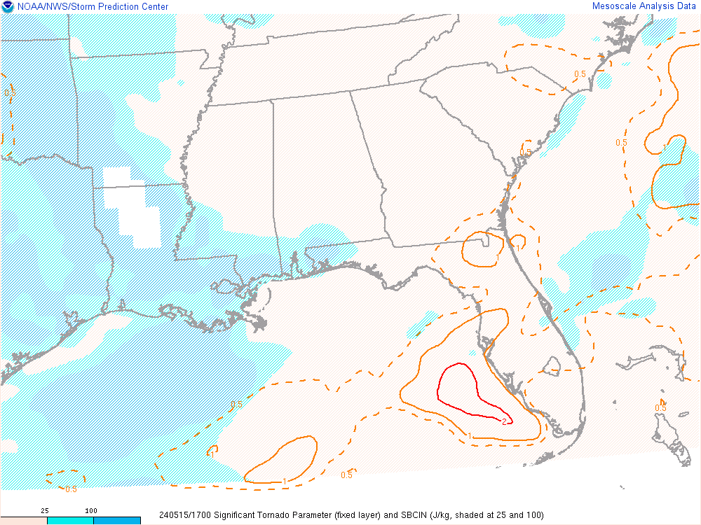
The STP in MS is insane.
This should advect into AL later as the shortwave goes negative tilt.
This could be epic.
This should advect into AL later as the shortwave goes negative tilt.
This could be epic.
0 likes


-
Brent
- S2K Supporter
- Posts: 38755
- Age: 37
- Joined: Sun May 16, 2004 10:30 pm
- Location: Tulsa Oklahoma
- Contact:
Re:
Bunkertor wrote:So, GCANE, you think, James Spann better taking a nap, or ?
LOL
Wow, I can't ever remember tornado probs this high here ever. I'm southeast of the 45% zone thankfully but still.

0 likes
#neversummer
Re: Potential Widespread Flooding/Severe Weather Event 4/23-28
GCANE wrote:RUC 23Z SE TN

dont understand this hodograph. Where are the layers ?
0 likes

Return to “USA & Caribbean Weather”
Who is online
Users browsing this forum: South Texas Storms and 320 guests