
It still has many days for it to get its act together just a wait and see scenario.
Moderator: S2k Moderators


Dean4Storms wrote:Hurakan..... I'm not expecting hardly any drop in pressures until convection fires over the center and sustains if it ever does. It is always tough to call possible future intensities, but none of the models are all that bullish. Going to be a wait and see mode all week from the looks of it.


caribepr wrote:Haiti is still a disaster...very bad weather news indeed.


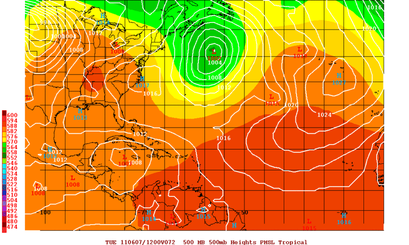
HURAKAN wrote:
latest
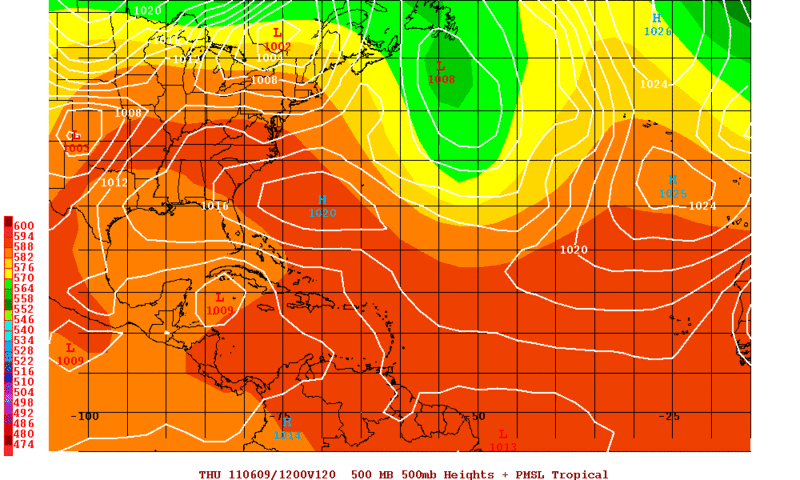
srainhoutx wrote:HURAKAN wrote:
latest
Sandy, please take a moment and give a brief narrative of your images. It will help those learning.
The following post is NOT an official forecast and should not be used as such. It is just the opinion of the poster and may or may not be backed by sound meteorological data. It is NOT endorsed by any professional institution including storm2k.org For Official Information please refer to the NHC and NWS products.


HURAKAN wrote:srainhoutx wrote:HURAKAN wrote:
latest
Sandy, please take a moment and give a brief narrative of your images. It will help those learning.
Sorry, sometimes I assume everyone knows

Users browsing this forum: No registered users and 18 guests


