90l should continue drifting NW to WNW for now.
Moderator: S2k Moderators


HouTXmetro wrote:I'm just shocked that despite the persistent convection this thing hasn't developed an LLC.

HouTXmetro wrote:I'm just shocked that despite the persistent convection this thing hasn't developed an LLC.


wxman57 wrote:HouTXmetro wrote:I'm just shocked that despite the persistent convection this thing hasn't developed an LLC.
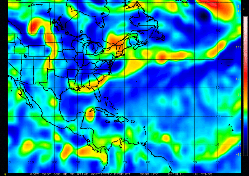
The problem is that the convection has not persisted over the same place, it's popping up here and there.
djmikey wrote:WOW...are the models doing the "shuffle"? Why are the models that spread apart? I thought they were in some sort of agreement last run...


crimi481 wrote:Ah Geeze Marge...
I think its almost toast. Don't look right. Too much "stuff" around the system. Shredder...
Not being negative- as I am storm lover from way back. NHC being cautious for reason(s)
http://www.ssd.noaa.gov/goes/east/tatl/flash-wv.html


gatorcane wrote:So only the HWRF really spins this up but we know it usually is bullish.
GFS, ECMWF, CMC, and GFDL do not spin this up.


Frank2 wrote:I'm guessing that they may have to bump up the tasking to 12Z tomorrow morning if the system continues to organize - perhaps NOAA might task something as well...
Frank


KatDaddy wrote:Great to hear from Air Force Met and Wxman57. Voices of wisdom in the tropical world.
Users browsing this forum: No registered users and 29 guests


