NOT AN OFFICIAL BEST TRACK, but I estimate it has jumped 90 kt in the last 33 hours and 70 kt in 15 hours - that is Wilma-like deepening:
29/1200 - 60 kt
29/1800 - 70 kt
30/0000 - 80 kt
30/0600 - 95 kt
30/1200 - 135 kt
Current - 150 kt
WPAC: MUIFA (Kabayan) - Tropical Depression
Moderator: S2k Moderators
-
oaba09
- S2K Supporter

- Posts: 1496
- Age: 39
- Joined: Thu Oct 01, 2009 10:02 am
- Location: Valenzuela, Philippines
- Contact:
Re:
StormingB81 wrote:Oba, What is the link to that? Thanks!
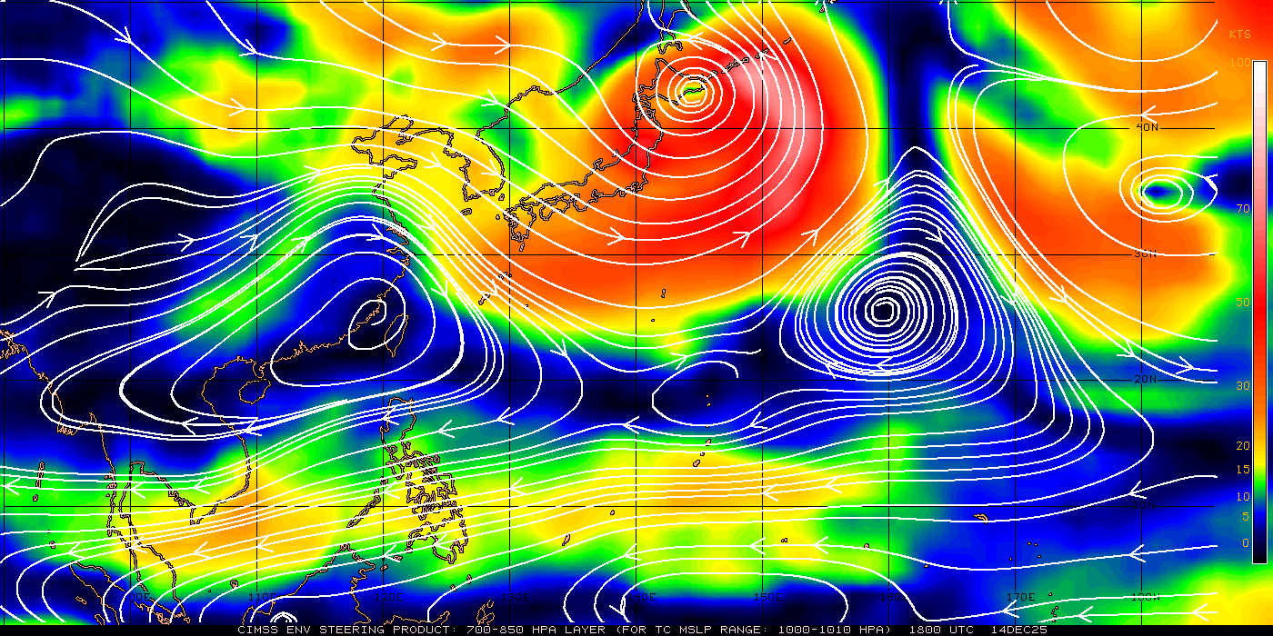
Here's the link:
http://tropic.ssec.wisc.edu/real-time/w ... msdlm1.GIF
0 likes
-
oaba09
- S2K Supporter
- Posts: 1496
- Age: 39
- Joined: Thu Oct 01, 2009 10:02 am
- Location: Valenzuela, Philippines
- Contact:
90 kts per JMA...

TY 1109 (MUIFA)
Issued at 15:40 UTC, 30 July 2011
<Analyses at 30/15 UTC>
Scale -
Intensity Very Strong
Center position N16°35'(16.6°)
E132°30'(132.5°)
Direction and speed of movement NW 10km/h(6kt)
Central pressure 940hPa
Maximum wind speed near the center 45m/s(90kt)
Maximum wind gust speed 65m/s(130kt)
Area of 50kt winds or more Wide 150km(80NM)
Area of 30kt winds or more S560km(300NM)
N370km(200NM)
<Forecast for 31/15 UTC>
Intensity Very Strong
Center position of probability circle N18°25'(18.4°)
E132°35'(132.6°)
Direction and speed of movement N Slowly
Central pressure 925hPa
Maximum wind speed near the center 50m/s(95kt)
Maximum wind gust speed 70m/s(135kt)
Radius of probability circle 130km(70NM)
Storm warning area Wide 330km(180NM)
<Forecast for 01/12 UTC>
Intensity Very Strong
Center position of probability circle N20°30'(20.5°)
E132°55'(132.9°)
Direction and speed of movement N 10km/h(6kt)
Central pressure 920hPa
Maximum wind speed near the center 50m/s(100kt)
Maximum wind gust speed 70m/s(140kt)
Radius of probability circle 200km(110NM)
Storm warning area Wide 410km(220NM)
<Forecast for 02/12 UTC>
Intensity Very Strong
Center position of probability circle N23°05'(23.1°)
E131°25'(131.4°)
Direction and speed of movement NNW 15km/h(7kt)
Central pressure 920hPa
Maximum wind speed near the center 50m/s(100kt)
Maximum wind gust speed 70m/s(140kt)
Radius of probability circle 300km(160NM)
Storm warning area Wide 500km(270NM)
<Forecast for 03/12 UTC>
Center position of probability circle N24°55'(24.9°)
E129°50'(129.8°)
Direction and speed of movement NW 10km/h(6kt)
Radius of probability circle 440km(240NM)
<Forecast for 04/12 UTC>
Center position of probability circle N27°10'(27.2°)
E127°25'(127.4°)
Direction and speed of movement NW 15km/h(8kt)
Radius of probability circle 560km(300NM)
0 likes
-
StormingB81

- S2K Supporter
- Posts: 5676
- Age: 44
- Joined: Thu Aug 27, 2009 1:45 am
- Location: Rockledge, Florida
Re: Re:
oaba09 wrote:StormingB81 wrote:Oba, What is the link to that? Thanks!
Here's the link:
http://tropic.ssec.wisc.edu/real-time/w ... msdlm1.GIF
ty!
0 likes
-
SouthDadeFish

- Professional-Met

- Posts: 2835
- Joined: Thu Sep 23, 2010 2:54 pm
- Location: Miami, FL
- Contact:


Re: WPAC: MUIFA (Kabayan) - Typhoon
Look at this sucker! Pinhole eye and everything!!!

Category 4!!!
Category 4!!!
Last edited by Fyzn94 on Sat Jul 30, 2011 11:19 am, edited 1 time in total.
0 likes
NOTICE: I cannot give an expert analysis. Most of my "observations" are made visually with the help of only vital information provided by public advisories.
-
Battlebrick
- Tropical Storm

- Posts: 177
- Joined: Thu Sep 02, 2010 9:55 pm
Re: WPAC: MUIFA (Kabayan) - Typhoon
holy crap.. this is incredible!
the highest I have ever seen a final t# for any TC was Monica.. I don't think anything could ever look better than Monica, but we'll see.
the highest I have ever seen a final t# for any TC was Monica.. I don't think anything could ever look better than Monica, but we'll see.
0 likes
Lim_Fao on IRC.
The following post is NOT an official forecast and should not be used as such. It is just the opinion of the poster and may or may not be backed by sound meteorological data. It is NOT endorsed by any professional institution including storm2k.org. For Official Information please refer to the NHC and NWS products.
The following post is NOT an official forecast and should not be used as such. It is just the opinion of the poster and may or may not be backed by sound meteorological data. It is NOT endorsed by any professional institution including storm2k.org. For Official Information please refer to the NHC and NWS products.
-
Battlebrick
- Tropical Storm
- Posts: 177
- Joined: Thu Sep 02, 2010 9:55 pm
Re: WPAC: MUIFA (Kabayan) - Typhoon

i can only imagine the winds in that eyewall...
0 likes
Lim_Fao on IRC.
The following post is NOT an official forecast and should not be used as such. It is just the opinion of the poster and may or may not be backed by sound meteorological data. It is NOT endorsed by any professional institution including storm2k.org. For Official Information please refer to the NHC and NWS products.
The following post is NOT an official forecast and should not be used as such. It is just the opinion of the poster and may or may not be backed by sound meteorological data. It is NOT endorsed by any professional institution including storm2k.org. For Official Information please refer to the NHC and NWS products.
-
apocalypt-flyer
- Category 1

- Posts: 468
- Joined: Sat Aug 27, 2005 11:51 am
Re: WPAC: MUIFA (Kabayan) - Typhoon
Oh and Cat. 4? Come on, it's already got Cat. 5 written all over it on the satellite/IR pictures on top of the previous page.
I mean, look at structure. It's a total and utter beast that one.
I mean, look at structure. It's a total and utter beast that one.
0 likes

That's a really tightly wrapped system with a scarily small pinhole eye. Okinawa, watch out. Models and agencies are tightly clustered on an Okinawa hit, and it looks like JMA's projecting a hit around 100 kt (10-min).
Still, right now I'll agree that 90 kt 10-min/115 kt 1-min appears to be on the very low end of estimates based on the satellite imagery.
Still, right now I'll agree that 90 kt 10-min/115 kt 1-min appears to be on the very low end of estimates based on the satellite imagery.
0 likes
Re: WPAC: MUIFA (Kabayan) - Typhoon
I didn't expect this storm to be a nuke when I went to bed last night.
Now that it's this intense this early, I won't be surprised if this becomes as strong as, if not stronger than, Songda.
Now that it's this intense this early, I won't be surprised if this becomes as strong as, if not stronger than, Songda.
Last edited by Fyzn94 on Sat Jul 30, 2011 11:35 am, edited 1 time in total.
0 likes
NOTICE: I cannot give an expert analysis. Most of my "observations" are made visually with the help of only vital information provided by public advisories.

WTPQ21 RJTD 301500
RSMC TROPICAL CYCLONE ADVISORY
NAME TY 1109 MUIFA (1109)
ANALYSIS
PSTN 301500UTC 16.6N 132.5E GOOD
MOVE NW 06KT
PRES 940HPA
MXWD 090KT
GUST 130KT
50KT 80NM
30KT 300NM SOUTH 200NM NORTH
FORECAST
24HF 311500UTC 18.4N 132.6E 70NM 70%
MOVE N SLOWLY
PRES 925HPA
MXWD 095KT
GUST 135KT
45HF 011200UTC 20.5N 132.9E 110NM 70%
MOVE N 06KT
PRES 920HPA
MXWD 100KT
GUST 140KT
69HF 021200UTC 23.1N 131.4E 160NM 70%
MOVE NNW 07KT
PRES 920HPA
MXWD 100KT
GUST 140KT =
0 likes
-
CrazyC83
- Professional-Met
- Posts: 34315
- Joined: Tue Mar 07, 2006 11:57 pm
- Location: Deep South, for the first time!
Re:
Chacor wrote:Re. recon... I think even if we did continue to have recon, no one would be stupid enough to send recon out and risk their lives in this one. This one looks a monster, even worse than Jangmi or Megi (which both had recon). JMO.
The mission would feel like the harrowing one into Felix in 2007.
0 likes
-
Battlebrick
- Tropical Storm
- Posts: 177
- Joined: Thu Sep 02, 2010 9:55 pm
Re: WPAC: MUIFA (Kabayan) - Typhoon
anyone remember recon in wilma, and they had to rise to 10,000 ft?
0 likes
Lim_Fao on IRC.
The following post is NOT an official forecast and should not be used as such. It is just the opinion of the poster and may or may not be backed by sound meteorological data. It is NOT endorsed by any professional institution including storm2k.org. For Official Information please refer to the NHC and NWS products.
The following post is NOT an official forecast and should not be used as such. It is just the opinion of the poster and may or may not be backed by sound meteorological data. It is NOT endorsed by any professional institution including storm2k.org. For Official Information please refer to the NHC and NWS products.
-
dexterlabio
- Category 5

- Posts: 3505
- Joined: Sat Oct 24, 2009 11:50 pm
Re: WPAC: MUIFA (Kabayan) - Typhoon
Battlebrick wrote:
i can only imagine the winds in that eyewall...
Parma (2009) should have appeared the same if not because of the dry air that seeped in that time. But the intense pinhole eye is there, indicating how intense the winds around that eye.
0 likes
Personal Forecast Disclaimer:
The posts in this forum are NOT official forecast and should not be used as such. They are just the opinion of the poster and may or may not be backed by sound meteorological data. They are NOT endorsed by any professional institution or storm2k.org. For official information, please refer to the NHC and NWS products.
The posts in this forum are NOT official forecast and should not be used as such. They are just the opinion of the poster and may or may not be backed by sound meteorological data. They are NOT endorsed by any professional institution or storm2k.org. For official information, please refer to the NHC and NWS products.


Re: WPAC: MUIFA (Kabayan) - Typhoon
WOW!! Got to be CAT 5 at 180MPH with that tight of an eye! What is the eye diameter. This is incredible!
0 likes
The following post is NOT an official forecast and should not be used as such. It is just the opinion of the poster and may or may not be backed by sound meteorological data. It is NOT endorsed by any professional institution including storm2k.org For Official Information please refer to the NHC and NWS products.
Who is online
Users browsing this forum: No registered users and 19 guests