Chacor wrote:KMA use 10 minute and CMA 2 minute winds, yes. CMA quite daring with that forecast, way more bold than even the JTWC is forecasting.
Any conversion factor for 2minute to 10 minute winds?
Moderator: S2k Moderators


Chacor wrote:KMA use 10 minute and CMA 2 minute winds, yes. CMA quite daring with that forecast, way more bold than even the JTWC is forecasting.


Typhoon Hunter wrote:Thanks Chacor for clearing up those wind averages.
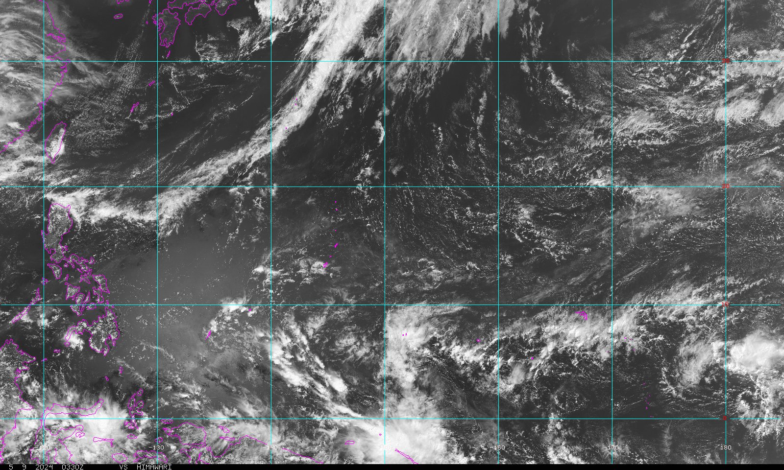
Dexter it would certain appear as if an EWRC is underway. Could this lead to an enlargening of the wind field and expansion in size. That NRL vis pic you posted kind of reminds me of Sepat back in2007.
Snoop - no worries, it's first time I've gone through all agencies myself for Muifa so thought I'd just share it here for those scratching their eyes and waking up here in Wpac!
ClarkEligue wrote:Chacor wrote:KMA use 10 minute and CMA 2 minute winds, yes. CMA quite daring with that forecast, way more bold than even the JTWC is forecasting.
Any conversion factor for 2minute to 10 minute winds?
dexterlabio wrote:Typhoon Hunter wrote:Thanks Chacor for clearing up those wind averages.
Dexter it would certain appear as if an EWRC is underway. Could this lead to an enlargening of the wind field and expansion in size. That NRL vis pic you posted kind of reminds me of Sepat back in2007.
Snoop - no worries, it's first time I've gone through all agencies myself for Muifa so thought I'd just share it here for those scratching their eyes and waking up here in Wpac!
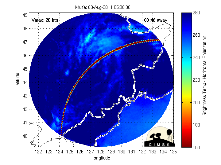
Yes, Sepat. It could have been successful if it did not make landfall shortly and decayed. With Muifa, it still has some days to complete the cycle and could also redevelop its circulation completely. We could see a wider and more intense eye if that pans out.


StormingB81 wrote:James..what is your opinion..you think it will strengthen back up or weaken?
Infdidoll wrote:Noted on other thread, but will post here, too: http://weather.kadenaforcesupport.com/update/tcir.html
I need to get to the store and by now, now that this is out there, it's going to be insane.

Users browsing this forum: No registered users and 23 guests


