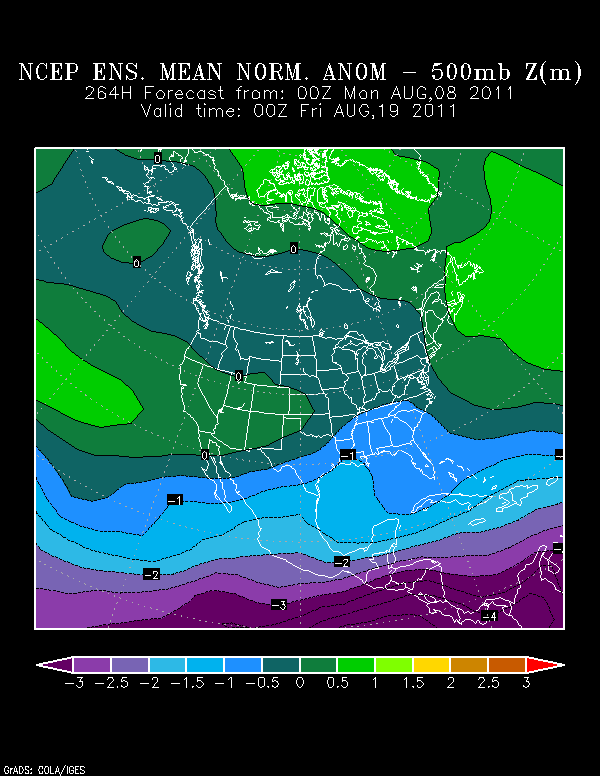
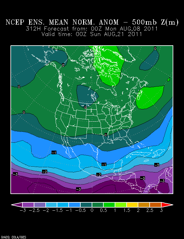
South Texas Storms wrote::uarrow:
That would be great for us Texans as it sends abundant tropical moisture our way giving us some drought relief.
Well, maybe. Even the 12Z GFS's solution only brings about 0.4" of rain to Houston. Ridge remains quite strong. Of course, this is 16 days out. Maybe the ridge will be gone by then and we'll be getting cold fronts!