
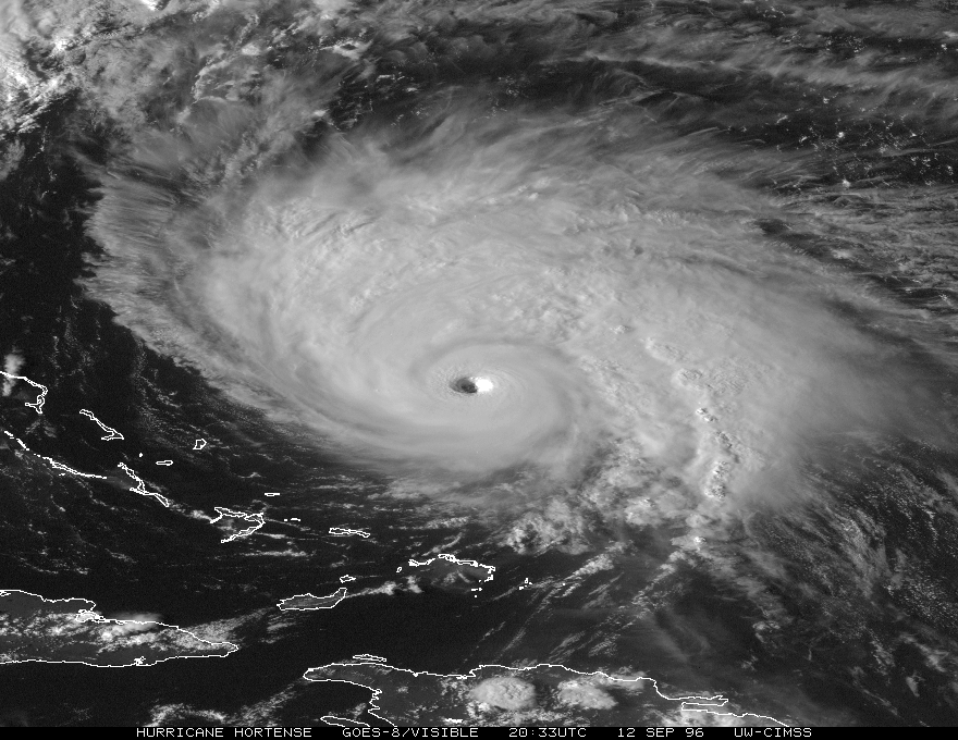
Sanibel wrote:When western Atlantic systems head north they tend to react with intensification. Why is that? Better outflow?
I think its just the areas north of the deep tropics just have better upper level conditions.
As the poster above said, the biggest part of it is once their moving north they aren't dealing with those screaming easterlies that have been that have been slowing things down all year.


