
I cant believe how dry it has been this past year and unfortunately for my area it looks to be dry for the next 7 to 10 days

However it looks like your area
Portastorm has a decent shot of Rain Monday Night until Tuesday Morning all the way south to about San Antonio. North Texas and Oklahoma looks to be the big winners for this upcoming rain event.
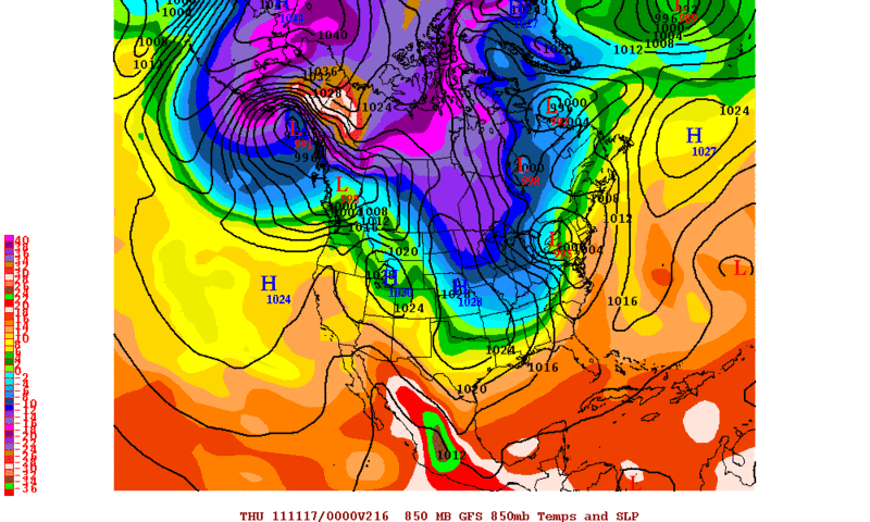
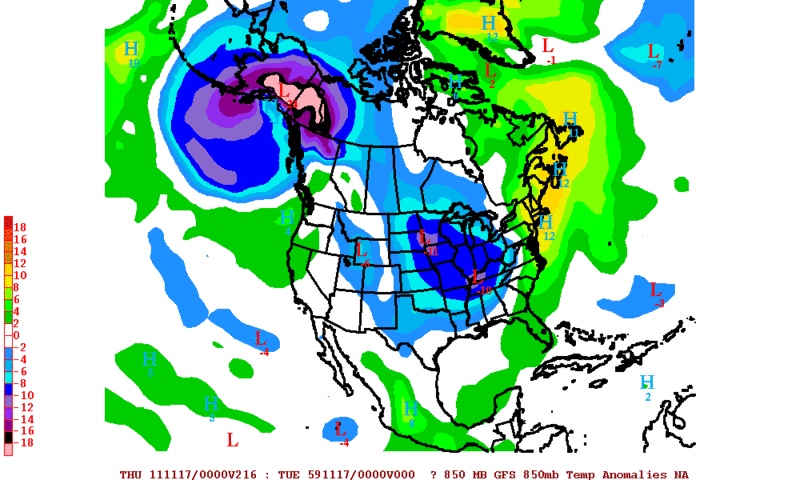
I was taking a look at the long range GFS and Euro and it looks like both of the models want to start building up some cold air in NW Canada 9 to 10 days from now. The operational 0zECMWF has a 1041mb High and the 12zGFS has a 1046mb High by day 10 with 850mb temperatures in the -20 to -22C range. Its probably wont amount to nothing but it is November so we have to keep an eye to the north.
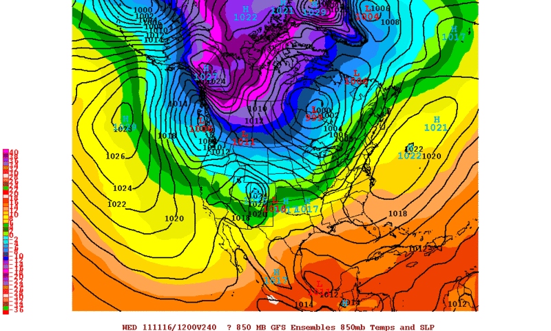
12zGFS Ensembles 850mb Temperatures Valid for Wednesday Morning (11-16-2011)
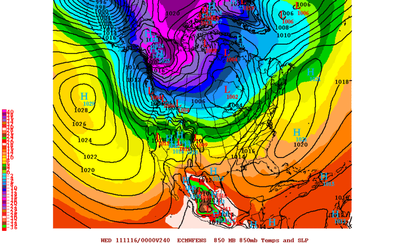
0zECMWF Ensembles 850mb Temperatures Valid for Tuesday Evening
On a side note it was a very warm morning here in the Rio Grande Valley. Here are some of the morning lows around the area..
Brownsville-------76
Harlingen---------75
Edinburg---------75
McAllen----------75
Rio Grande City---73
 The posts in this forum are NOT official forecast and should not be used as such. They are just the opinion of the poster and may or may not be backed by sound meteorological data. They are NOT endorsed by any professional institution or


 just might go your way.