thetruesms wrote:The St. Augustine Ampitheatre is going strong with their "All shows rain or shine" tagline, too. I've got a friend going to the concert there tonight.Dean4Storms wrote:Many people in Jax are unprepared for this I'm afraid. Just had a friend on FB that lives in Jax. Bch. tell me she was headed out for Cocktails and Dinner this evening!
Think this storm got downplayed too much!
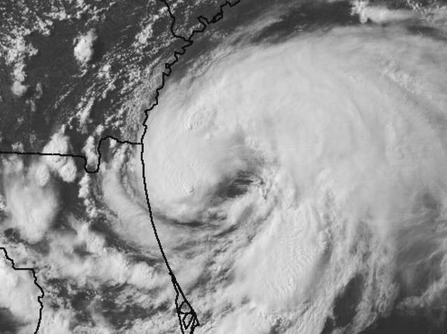
nice..nothing like a show in a TC.....