ROCK wrote:glad we have our first TD of the season, officially anyway....
Does look a bit ragged this evening but a TD nonetheless....I cant wait for the model wars Weather Freak...
Convection disappearing...slightly.
Moderator: S2k Moderators
ROCK wrote:glad we have our first TD of the season, officially anyway....
Does look a bit ragged this evening but a TD nonetheless....I cant wait for the model wars Weather Freak...


IreneSurvivor47 wrote:PTrackerLA wrote:This part of the NHC discussion is particularly alarming with the NW movement and weakness in the gulf mentioned. Could be the same weakness returning to the Gulf states that has given us a very wet summer?
THE INITIAL MOTION IS A SOMEWHAT UNCERTAIN 285/16. GLOBAL MODELS
DEPICT A STRONG MID-TROPOSPHERIC ANTICYCLONE TO THE NORTH OF THE
TROPICAL CYCLONE FOR THE NEXT SEVERAL DAYS. THIS STEERING PATTERN
SHOULD CAUSE A WEST-NORTHWESTWARD TO WESTWARD MOTION AT ABOUT THE
SAME SPEED THROUGH MUCH OF THE FORECAST PERIOD. A WEAKNESS OVER
THE GULF OF MEXICO COULD CAUSE SOME SLOWING AND BIT OF A
NORTHWESTWARD TURN LATE IN THE PERIOD. THE COMPUTER MODELS ARE IN
GOOD AGREEMENT...AND THE NHC TRACK FORECAST IS NOT FAR FROM THE
MODEL CONSENSUS.
In other words the storm will curve out to sea or be an east coast storm? Sorry, didn't understand that.

Hurricane Alexis wrote:So what are the chances it makes a run towards Florida in the next 10 days?
Weatherfreak000 wrote:gatorcane wrote:Pretty decent north shift in the 18Z package?
http://www.ral.ucar.edu/hurricanes/real ... _early.png
Models on the North end of that envelope I take with a grain of salt...... CLP5? BAMM? LBAR? Think i'll pass
IMO, the question here is North of Jamaica....or South?


Stormcenter wrote:Way,way,way too early to be concerned about TD #5 if you live in the U.S. IMO
Interesting to see the NHC favoring the GFS clearly over the European model in reference to future strengthening.
We shall see.

hurricanes1234 wrote:Does anyone know why the satellite images keep blacking out so often? Look at any of the available satellite loops for TD 5 and you'll see what I mean.
PTrackerLA wrote:Of course the initial concern is the islands but as of right now it shouldn't be too significant of an impact given the current forecast. Afterwards, well, it has been a few years since we've had a CV system possibly approach the GOM from this direction. If Ernesto is a hurricane near Jamaica on monday and starting to bend NW all hell is going to break loose around here
hurricanes1234 wrote:Does anyone know why the satellite images keep blacking out so often? Look at any of the available satellite loops for TD 5 and you'll see what I mean.
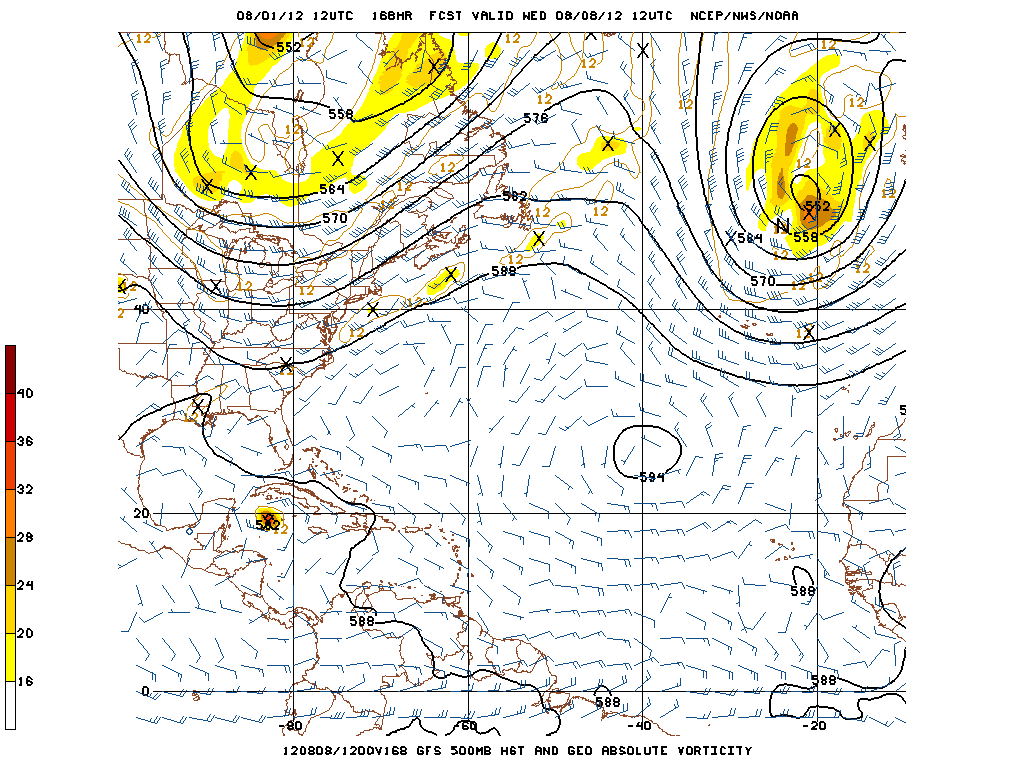
AHS2011 wrote:Can someone show me what they mean by an East Coast trough?
ROCK wrote:18Z NOGAPS coming in...you can see it here....
https://www.fnmoc.navy.mil/wxmap_cgi/cg ... t=Tropical
Users browsing this forum: No registered users and 19 guests


