ATL: HELENE - Post-Tropical
Moderator: S2k Moderators
-
floridasun78
- Category 5

- Posts: 3755
- Joined: Sun May 17, 2009 10:16 pm
- Location: miami fl
-
CourierPR

- Category 5
- Posts: 1336
- Age: 72
- Joined: Tue Aug 31, 2004 7:53 pm
- Location: Pompano Beach, Florida
Re: ATL: SEVEN - Remnants
Is there any chance that a piece of energy gets left behind in the Caribbean that could do something over time?
0 likes

Re: ATL: SEVEN - Remnants
WXMN57....ok you can take Bones out of your pocket now....so much for my dark horse... 
0 likes
-
Portastorm

- Storm2k Moderator

- Posts: 9955
- Age: 63
- Joined: Fri Jul 11, 2003 9:16 am
- Location: Round Rock, TX
- Contact:
Re: ATL: SEVEN - Remnants
ROCK wrote:WXMN57....ok you can take Bones out of your pocket now....so much for my dark horse...
Don't lose hope yet. The area to the southwest of Jamaica looks suspicious.
0 likes
Any forecasts under my name are to be taken with a grain of salt. Get your best forecasts from the National Weather Service and National Hurricane Center.
-
wxman57

- Moderator-Pro Met

- Posts: 23175
- Age: 68
- Joined: Sat Jun 21, 2003 8:06 pm
- Location: Houston, TX (southwest)
Re: ATL: SEVEN - Remnants
Former TD Seven actually looks more impressive than it has in days. However, it'll be moving inland into CA and southern MX tomorrow without development. Slight chance of development in SW Gulf by Friday, but the moisture could be mostly inland over MX and spreading north toward Texas by the weekend.
0 likes

Re: ATL: SEVEN - Remnants
wxman57 wrote:Former TD Seven actually looks more impressive than it has in days. However, it'll be moving inland into CA and southern MX tomorrow without development. Slight chance of development in SW Gulf by Friday, but the moisture could be mostly inland over MX and spreading north toward Texas by the weekend.
If it plays out the wrong way...TX could recieve a deluge...GFS has been hinting at it for days
The 12z is printing out 5-10 inches from the system
0 likes
-
wxman57
- Moderator-Pro Met
- Posts: 23175
- Age: 68
- Joined: Sat Jun 21, 2003 8:06 pm
- Location: Houston, TX (southwest)
Re: ATL: SEVEN - Remnants
They could use the rain in south TX northward to the Hill Country. Not much indicated for SE TX/upper TX coast.
0 likes
-
Rgv20

- S2K Supporter

- Posts: 2466
- Age: 39
- Joined: Wed Jan 05, 2011 5:42 pm
- Location: Edinburg/McAllen Tx
Afternoon discussion from the NWS Brownsville......They are buying the GFS solution.
"BY THE WEEKEND...UPPER HIGH OVER THE WEST WITH A DEEP TROUGH
COVERING MOST OF THE EASTERN PORTION OF THE STATE WILL HELP FRONT
MOVE FURTHER SOUTH INTO CENTRAL TEXAS BY LATE INTO THE WEEKEND.
FURTHER SOUTH...REMNANTS OF TROPICAL DEPRESSION 7 WILL MOVE OVER THE
BAY OF CAMPECHE WITH MODELS HINTING ON BECOMING A CLOSED LOW BY LATE
SUNDAY. DISAGREEMENT BETWEEN THE GFS AND ECMWF BEGIN FROM DAY 6 AS
GFS BRINGS THIS SYSTEM NORTH ALONG THE COASTLINE WHILE ECMWF KEEPS A
VERY DISORGANIZED AREA OF THUNDERSTORMS MOVING ACROSS CENTRAL
AMERICA. LEAN TOWARDS THE GFS FOR DAY 6 AT THIS TIME WITH AN
INCREASE IN WINDS AS THIS SYSTEM MOVES INTO THE BAY OF CAMPECHE AND
POPS ALONG THE COASTLINE. THERE IS A LOT OF UNCERTAINTY ON WHAT THIS
TROPICAL WAVE WILL DO ONCE IT MOVES OVER THE BAY OF CAMPECHE IF IT
DOES."
Interesting info out of the HPC....NHC forecasting a tropical low in the Western GOM..
FINAL...
MADE ONLY COSMETIC CHANGES TO THE UPDATE PACKAGE FOR THE FINAL
ISSUANCE. THE 12Z/14 GFS AND GEFS MEAN HAVE TRENDED STRONGLY
TOWARD THE EUROPEAN CENTRE GUIDANCE AT THE END OF THE PERIOD...NOW
INDICATING PRIMACY OF THE LONGWAVE TROUGH OVER THE EAST.
COORDINATION WITH THE NATIONAL HURRICANE CENTER RESULTED IN THE
INTRODUCTION OF A SPOT TROPICAL LOW CREEPING UP THE ATLANTIC SIDE
OF THE MEXICAN COAST THROUGH MID PERIOD. EVEN IF NO ORGANIZED
SYSTEM DEVELOPS...THE TROPICAL FEED MAY WELL INTERSECT THE EDGE OF
THE WESTERLIES OVER SOUTHERN TEXAS...ENHANCING RAINFALL THERE.
0 likes
The following post is NOT an official forecast and should not be used as such. It is just the opinion of the poster and may or may not be backed by sound meteorological data. It is NOT endorsed by any professional institution including storm2k.org For Official Information please refer to the NHC and NWS products.
-
Extratropical94

- Professional-Met

- Posts: 3545
- Age: 31
- Joined: Wed Oct 20, 2010 6:36 am
- Location: Hamburg, Germany
- Contact:
Re: ATL: SEVEN - Remnants
Ev1948 wrote:I don't know where to put this, but who or what is Bones? Been seeing the name posted a lot.
http://en.wikipedia.org/wiki/Leonard_McCoy
His catchphrase "He's dead, Jim" is often used here to declare tropical cyclones gone and dissipated.
0 likes
54° 11' 59'' N, 9° 9' 20'' E
Boomer Sooner!
Go Broncos! Go Cards!
Clinching counties, one at a time: https://mob-rule.com/user-gifs/USA/xtrp94.gif
- Daniel
Boomer Sooner!
Go Broncos! Go Cards!
Clinching counties, one at a time: https://mob-rule.com/user-gifs/USA/xtrp94.gif
- Daniel
Re: ATL: SEVEN - Recon
Is it still on?
0 likes
Personal Forecast Disclaimer:
The posts in this forum are NOT official forecast and should not be used as such. They are just the opinion of the poster and may or may not be backed by sound meteorological data. They are NOT endorsed by any professional institution or storm2k.org. For official information, please refer to the NHC and NWS products.
The posts in this forum are NOT official forecast and should not be used as such. They are just the opinion of the poster and may or may not be backed by sound meteorological data. They are NOT endorsed by any professional institution or storm2k.org. For official information, please refer to the NHC and NWS products.
-
wxman57
- Moderator-Pro Met
- Posts: 23175
- Age: 68
- Joined: Sat Jun 21, 2003 8:06 pm
- Location: Houston, TX (southwest)
Re: ATL: SEVEN - Recon
No. Latest position is inland over Honduras. No organization, no reason for recon today.
0 likes
-
Stormcenter
- S2K Supporter
- Posts: 6689
- Joined: Wed Sep 03, 2003 11:27 am
- Location: Houston, TX
August 14, 2012 afternoon discussion from the NWS out of New Orleans, LA.
LONG TERM...
UPPER TROUGH DEEPENS SOMEWHAT ON THE WEEKEND AND AMPLIFIES
FURTHER EARLY NEXT WEEK AS THE MID LEVEL RIDGE OVER THE WESTERN
U.S. BUILDS NORTHWARD. BOTH GFS AND ECMWF ARE IN FAIRLY GOOD
AGREEMENT WITH THIS LARGE SCALE DEVELOPMENT AND SHOWS FRONTAL
BOUNDARY TO SAG TO NEAR THE COAST BY EARLY NEXT WEEK...AND
POTENTIALLY INTO THE COASTAL WATERS ON MON AND TUE. RAIN CHANCES
WILL GO UPWARD ON THE WEEKEND AS THE FRONT ACTS AS A FOCUS FOR
CONVECTION...AND POPS MAY HAVE TO BUMPED UP FURTHER IN LATER
FORECAST. HAVE NOT MADE SIGNIFICANT CHANGES TO TEMPS WHICH SHOWS
SLIGHTLY COOLER MORNING LOWS ON MON AND TUE OVER THE INTERIOR
PORTIONS AS DRIER AIR FILTERS INTO THE REGION. HOWEVER...DO NOT
WANT TO GET TOO AGGRESSIVE WITH ANY TYPE OF FRONTAL PASSAGE IN THE
4 TO 7 DAY TIME FRAME FOR MID AUGUST. ECMWF IS NOW TRENDING A BIT CLOSER
TO THE GFS....THOUGH NOT AS AGGRESSIVE...IN DEVELOPING LOW
PRESSURE OVER THE BAY OF CAMPECHE AND SLOWLY MOVING IT NORTHWARD
OVER EXTREME W GULF OVER THE WEEKEND INTO EARLY NEXT WEEK. DEPENDING
ON THIS DEVELOPMENT...ADDITIONAL MOISTURE COULD BE TRANSPORTED
NORTHWARD OVER THE GULF...THOUGH MAIN MOISTURE INFLUX WOULD BE
FURTHER WEST.
0 likes
-
Shuriken
Re: ATL: SEVEN - Remnants
http://www.youtube.com/watch?v=MH7KYmGnj40
I think the body-count ratio of Star Trek was only exceeded by Voyage to the Bottom of the Sea -- every single guest star on that show ever, croaked.
I think the body-count ratio of Star Trek was only exceeded by Voyage to the Bottom of the Sea -- every single guest star on that show ever, croaked.
0 likes

ATL: SEVEN - Remnants
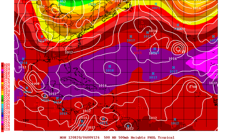
The GFS has been trending to keep the vorticity close to or just offshore of MX in the western GOM as it gets pulled by the deep trough forecasted to dig down late weekend into early next week.
IMO, TX will get a lot of rain out of this system.
The 12z ECMWF is starting to trend towards the GFS.
Personal Forecast Disclaimer:
The posts in this forum are NOT official forecast and should not be used as such. They are just the opinion of the poster and may or may not be backed by sound meteorological data. They are NOT endorsed by any professional institution or storm2k.org. For official information, please refer to the NHC and NWS products.
0 likes
-
lrak

- S2K Supporter
- Posts: 1770
- Age: 59
- Joined: Thu Jun 21, 2007 2:48 pm
- Location: Corpus Christi, TX
Re: ATL: SEVEN - Remnants
Lake Corpus Christi Water Level
Water Level
77.85FEET
Tuesday, August 14, 2012
9:01:00 AM
Level is 16.15 feet
below full pool of 94.00
We surely need the rain, and the GFS is really giving us some hope of rain, rain, rain!
not too much
Water Level
77.85FEET
Tuesday, August 14, 2012
9:01:00 AM
Level is 16.15 feet
below full pool of 94.00
We surely need the rain, and the GFS is really giving us some hope of rain, rain, rain!
not too much
0 likes
AKA karl
Also
Personal Forecast Disclaimer:
My posts on this forum are NOT official forecast and should not be used as such. My posts are my basic observations and are definitely not backed by any "well some" meteorological knowledge. For official information, please refer to the NHC and NWS products.
Also
Personal Forecast Disclaimer:
My posts on this forum are NOT official forecast and should not be used as such. My posts are my basic observations and are definitely not backed by any "well some" meteorological knowledge. For official information, please refer to the NHC and NWS products.

Re: BOC
Troy Kimmel in Austin, TX just showed the QPF forecast for Austin this weekend thru Monday? 3 inch rains in Austin/CenTex! I hope this comes true, the source will be tropical in nature according to Troy. Kimmel is our best ProMet--IMHO--in the Austin area. 
0 likes
-
cycloneye

- Admin

- Posts: 149511
- Age: 69
- Joined: Thu Oct 10, 2002 10:54 am
- Location: San Juan, Puerto Rico
Re: ATL: SEVEN - Remnants
8 PM TWO:
A TROPICAL WAVE...THE REMNANTS OF TROPICAL DEPRESSION SEVEN...HAS
MOVED INLAND OVER CENTRAL AMERICA. DEVELOPMENT OF THIS SYSTEM IS
NOT EXPECTED AND THIS SYSTEM HAS A LOW CHANCE...NEAR 0 PERCENT...OF
BECOMING A TROPICAL CYCLONE DURING THE NEXT 48 HOURS. LOCALLY
HEAVY RAINS AND GUSTY WINDS ARE POSSIBLE ACROSS PORTIONS OF CENTRAL
AMERICA THROUGH WEDNESDAY AS THE WAVE MOVES WESTWARD AT 15 TO 20
MPH
0 likes
Visit the Caribbean-Central America Weather Thread where you can find at first post web cams,radars
and observations from Caribbean basin members Click Here
and observations from Caribbean basin members Click Here


Re: ATL: SEVEN - Remnants
wxman57 wrote:They could use the rain in south TX northward to the Hill Country. Not much indicated for SE TX/upper TX coast.
The 18Z GFS may give us some rain here in SE Texas.
0 likes
-
Rgv20
- S2K Supporter
- Posts: 2466
- Age: 39
- Joined: Wed Jan 05, 2011 5:42 pm
- Location: Edinburg/McAllen Tx
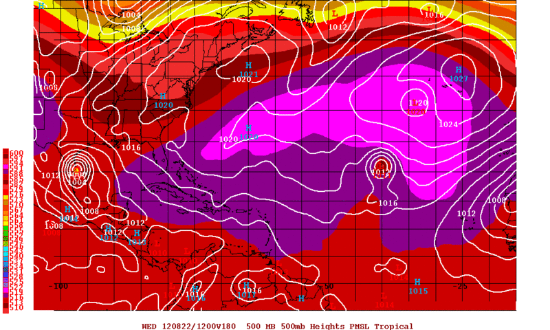
Not sure if it belongs here but tonight's 0zGFS still insists on developing a TC in the Western GOM, Time frame of development looks like Sunday according to the GFS. The alarming part of the GFS forecast is that it is in no hurry with this possible disturbance as it takes 2 days to move 150 miles give or take! Still plenty of time to watch how this all unfolds but this could potentially bring some very very heavy rain to South Texas early next week.
Sunday Night
Wednesday Morning
Sunday Night
Wednesday Morning
0 likes
The following post is NOT an official forecast and should not be used as such. It is just the opinion of the poster and may or may not be backed by sound meteorological data. It is NOT endorsed by any professional institution including storm2k.org For Official Information please refer to the NHC and NWS products.
Who is online
Users browsing this forum: No registered users and 64 guests